Abbatoir Boat Ramp
- Oct–May
- best months
Abbatoir Boat Ramp is a boat launch in Georgia, about 3.3 miles from the town of Hardwick. It is a straightforward put-in spot for getting a boat onto the water in this part of central Georgia. Spring and fall are the most comfortable times to launch. At a nearby weather station in Milledgeville, typical average highs run around 77°F in April and 78°F in October, while July averages climb to about 93°F. Close by, the Selma Erwin Nature Trail sits less than a mile away, and Fishing Creek Trail is about 3.4 miles off. Mountain bikers can head to Walter B. Williams Park MTB, about 6.4 miles away, and paddlers looking for more water can try Fishing Creek, roughly 8.4 miles from the ramp.
- Selma Erwin Nature TrailMountain biking0.8 mi
- Fishing Creek TrailHiking3.4 mi
- Walter B. Williams Park MTBMountain biking6.4 mi
- Walter B. Williams Park MTB GCA Loop ExtensionMountain biking6.5 mi
- Fishing CreekCanoeing8.4 mi
- Commissioner CreekCanoeing9.8 mi
Source: Roamze catalog (indexable pages within 10 miles, PostGIS distance)
 Ogeechee RiverCanoeing · ~59 min drivePhoto: w:Flickr user Karol M, CC BY 2.0 (via Wikimedia Commons)
- Swords Boat Day Use AreaBoat launch · ~1h 2m drive
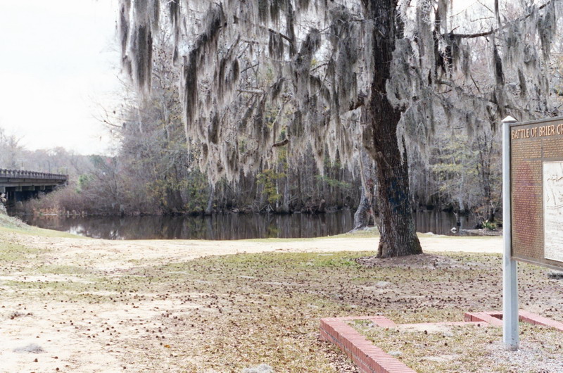 Brier CreekCanoeing · ~1h 24m drivePhoto: Dereddick, Public domain (via Wikimedia Commons)
- Redlands Boat RampBoat launch · ~1h 4m drive
- Fishing CreekCanoeing · ~14 min drive
- Wise Creek Take-outBoat launch · ~1h 7m drive
- Commissioner CreekCanoeing · ~17 min drive
- Buffalo CreekCanoeing · ~23 min drive
- Keg CreekCanoeing · ~29 min drive
- Big Sandy CreekCanoeing · ~31 min drive
Best time to visit Abbatoir Boat Ramp
Best months: October–May. Best months have typical highs of 55–85 °F, lows of 30 °F or warmer (32 °F where the station doesn't record snow), at most one snowy day and no more than 12 wet days.
Jan
58° / 33°
10 wet
Feb
62° / 36°
9 wet
Mar
69° / 42°
9 wet
Apr
77° / 49°
8 wet
May
84° / 58°
8 wet
Jun
90° / 67°
10 wet
Jul
93° / 70°
11 wet
Aug
91° / 70°
11 wet
Sep
86° / 64°
8 wet
Oct
78° / 52°
7 wet
Nov
68° / 40°
8 wet
Dec
60° / 36°
9 wet
Typical high / low (°F) and days with rain or snow, 1991–2020. Measured at Milledgeville, GA, 4.8 mi away at 368 ft. Source: NOAA NCEI U.S. Climate Normals 1991–2020.
Map and trail data © OpenStreetMap contributors
