Trembling Earth Nature Trail
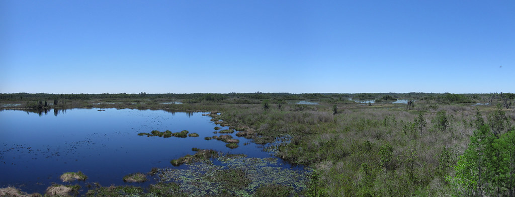
 Photo: ken ratcliff, CC BY 2.0 (via Flickr)
- 0.4 mi
- loop
- 66 ft
- climb
- 163 ft
- high point
- Loop
- route
- Oct–Apr
- best months
Trembling Earth Nature Trail is a short, easy loop in Stephen C. Foster State Park in Georgia, managed by the State Department of Natural Resources. The trail is about 0.4 miles long, with a total climb of 66 feet and a total descent of 73 feet. The steepest part comes early, at about 0.2 miles in, with a grade of about 4 percent. Spring and fall are the most comfortable times to visit. Typical averages from a nearby weather station show April highs around 81°F and October highs around 81°F, while July highs reach about 94°F. Okefenokee National Wildlife Refuge Overnight Camping Permit is about 3.6 miles away. The Suwannee River and the Middle Fork Suwannee River, both canoeing routes, are within about 7 miles, and Alligator Creek is about 9.5 miles away.
 Okefenokee National Wildlife Refuge Overnight Camping PermitCampingPhoto: Recreation.gov (RIDB) / public domain3.6 mi
 Suwannee RiverCanoeingPhoto: U.S. Geological Survey, Public domain (via Wikimedia Commons)4 mi
- Middle Fork Suwannee RiverCanoeing6.7 mi
- Alligator CreekCanoeing9.5 mi
Source: Roamze catalog (indexable pages within 10 miles, PostGIS distance)
 Billys Island TrailHiking · ~3 min drivePhoto: ken ratcliff, CC BY 2.0 (via Flickr)
- Ralph E Simmons Memorial State Forest TrailHiking · ~41 min drive
- Old Alachua TrailHiking · ~53 min drive
 Chesser Island BoardwalkHiking · ~24 min drivePhoto: pseabolt, CC BY 3.0 (via Wikimedia Commons)
- River Glen SidewalkHiking · ~1h 17m drive
- GREEN HORSE TRAILHiking · ~1h 2m drive
 Deerstand TrailHiking · ~24 min drivePhoto: cm195902, CC BY 2.0 (via Flickr)
 Canal Diggers TrailHiking · ~25 min drivePhoto: pseabolt, CC BY 3.0 (via Wikimedia Commons)
- Chesser Island Homestead Nature TrailHiking · ~25 min drivePhoto: cm195902, CC BY 2.0 (via Flickr)
- Suwannee River Sill TrailHiking · ~6 min drive
Also worth it near here
Best time to visit Trembling Earth Nature Trail
Best months: October–April. Best months have typical highs of 55–85 °F, lows of 30 °F or warmer (32 °F where the station doesn't record snow), at most one snowy day and no more than 12 wet days.
Jan
65° / 41°
Feb
68° / 45°
Mar
76° / 50°
Apr
81° / 57°
May
88° / 63°
Jun
92° / 70°
Jul
94° / 73°
Aug
93° / 73°
Sep
89° / 70°
Oct
81° / 59°
Nov
73° / 50°
Dec
67° / 44°
Typical high / low (°F) and days with rain or snow, 1991–2020. Measured at Fargo 17 Ne, GA, 0.1 mi away at 124 ft. This station doesn't record snowfall. Source: NOAA NCEI U.S. Climate Normals 1991–2020.

Map and trail data © OpenStreetMap contributors
