Ralph E Simmons Memorial State Forest Trail
- 3.3 mi
- round trip
- 212 ft
- climb
- 99 ft
- high point
- Out and back
- route
- Oct–Apr
- best months
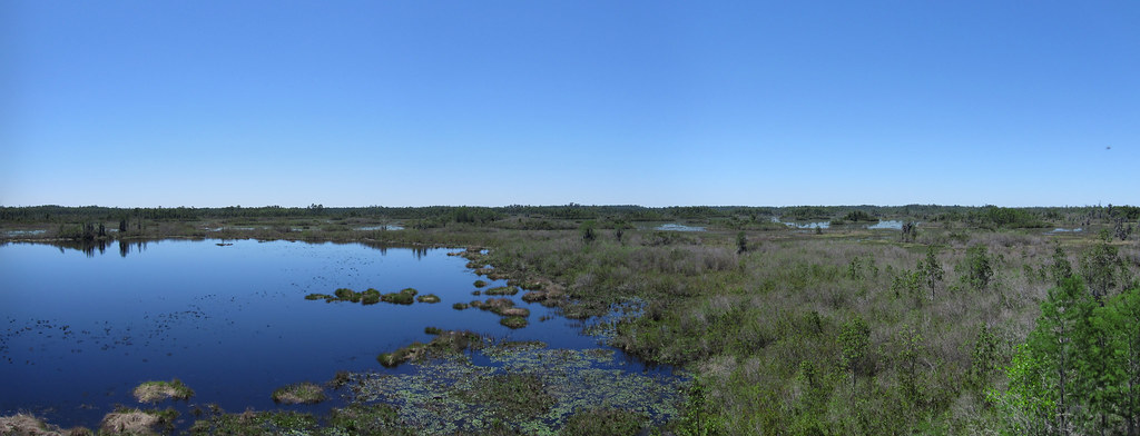
The Ralph E Simmons Memorial State Forest Trail is a 6.6-mile out-and-back hike in Ralph E. Simmons State Forest in Florida, set at a low of about 8 feet and a high of 99 feet. The route is flat overall, with a total climb of 212 feet and a steepest grade of about 2% at 1.1 miles. The trail is rated moderate, and the round trip takes about 2.5 hours. Spring and fall are the most comfortable times to go. Typical averages from a nearby weather station in Georgia show March highs around 76°F and October highs around 83°F, while July and August average in the low 90s with the most wet days of the year. The Ralph E Simmons Memorial Forest Trail lies about 1.9 miles away, and Spanish Creek, a canoeing spot in Georgia, is about 7.2 miles off.
Source: Roamze catalog (indexable pages within 10 miles, PostGIS distance)
 Canal Diggers TrailHiking · ~19 min drivePhoto: pseabolt, CC BY 3.0 (via Wikimedia Commons)
- Old Alachua TrailHiking · ~27 min drive
- River Glen SidewalkHiking · ~38 min drive
 Deerstand TrailHiking · ~23 min drivePhoto: cm195902, CC BY 2.0 (via Flickr)
 Chesser Island BoardwalkHiking · ~23 min drivePhoto: pseabolt, CC BY 3.0 (via Wikimedia Commons)
 Billys Island TrailHiking · ~38 min drivePhoto: ken ratcliff, CC BY 2.0 (via Flickr)
 Trembling Earth Nature TrailHiking · ~41 min drivePhoto: ken ratcliff, CC BY 2.0 (via Flickr)
- River Trail Stop 1Hiking · ~50 min drive
- River Trail Stop 2Hiking · ~50 min drive
- River Trail Stop 3Hiking · ~50 min drive
Also worth it near here
- Scotts LandingBoat launch · ~1 min drive
 Jenny Ridge RV ParkCamping · ~5 min drivePhoto: Michael Rivera, CC BY-SA 4.0 (via Wikimedia Commons)
- Cumberland Island National Seashore Camping PermitsSaltwater fishing · ~43 min drive
 Suwannee RiverCanoeing · ~47 min drivePhoto: U.S. Geological Survey, Public domain (via Wikimedia Commons)
Best time to visit Ralph E Simmons Memorial State Forest Trail
Best months: October–April. Best months have typical highs of 55–85 °F, lows of 30 °F or warmer (32 °F where the station doesn't record snow), at most one snowy day and no more than 12 wet days.
Jan
67° / 44°
9 wet
Feb
70° / 46°
8 wet
Mar
76° / 51°
8 wet
Apr
83° / 57°
7 wet
May
88° / 64°
8 wet
Jun
93° / 70°
13 wet
Jul
94° / 73°
15 wet
Aug
93° / 73°
14 wet
Sep
90° / 70°
11 wet
Oct
83° / 61°
8 wet
Nov
75° / 52°
6 wet
Dec
68° / 46°
8 wet
Typical high / low (°F) and days with rain or snow, 1991–2020. Measured at Folkston 9 Sw, GA, 10.5 mi away at 120 ft. Source: NOAA NCEI U.S. Climate Normals 1991–2020.
Map and trail data © OpenStreetMap contributors
