Rayfield Trail
At a glance
Rayfield Trail is an easy out-and-back hike of about 2.6 miles in Georgia's Cumberland Island National Seashore, within the Cumberland Island Wilderness. The route starts and ends at roughly the same low point, with a total elevation gain of about 10 feet and a high point of about 28 feet. The National Park Service manages the land. Spring and fall are the most comfortable times to go. Typical averages from a nearby weather station show April highs around 76°F and October highs around 79°F, while July and August climb to the upper 80s and bring the most wet days of the year. The trail sits among a cluster of other short walks. Ashley Pond Trail is about 0.3 miles away and Kings Bottom Trail about 0.5 miles, with Tar Kiln Trail and Roller Coaster Trail each about a mile off.
- round trip
- 1.3 mi
- climb
- 10 ft
- high point
- 28 ft
- route
- Out and back
- best months
- Sep–May
Where it is: Cumberland Island Wilderness · Cumberland Island National Seashore
Best time to visit Rayfield Trail
Best months: September–May. Best months have typical highs of 55–85 °F, lows of 30 °F or warmer (32 °F where the station doesn't record snow), at most one snowy day and no more than 12 wet days.
Jan
62°
43°
8 wet
Feb
65°
45°
8 wet
Mar
70°
51°
8 wet
Apr
76°
57°
7 wet
May
82°
65°
8 wet
Jun
86°
71°
11 wet
Jul
89°
74°
12 wet
Aug
88°
74°
13 wet
Sep
85°
71°
11 wet
Oct
79°
62°
9 wet
Nov
71°
52°
7 wet
Dec
65°
46°
8 wet
Typical high / low (°F) and days with rain or snow, 1991–2020. Measured at Brunswick 23 S, GA, 3.9 mi away at 25 ft. This station doesn't record snowfall. Source: NOAA NCEI U.S. Climate Normals 1991–2020.
Been here? Tell people how it was.
 Ranger Station TrailHikingPhoto: djuggler, CC BY-SA 2.0 (via Flickr)~11 min drive
- Parallel TrailHiking~7 min drive
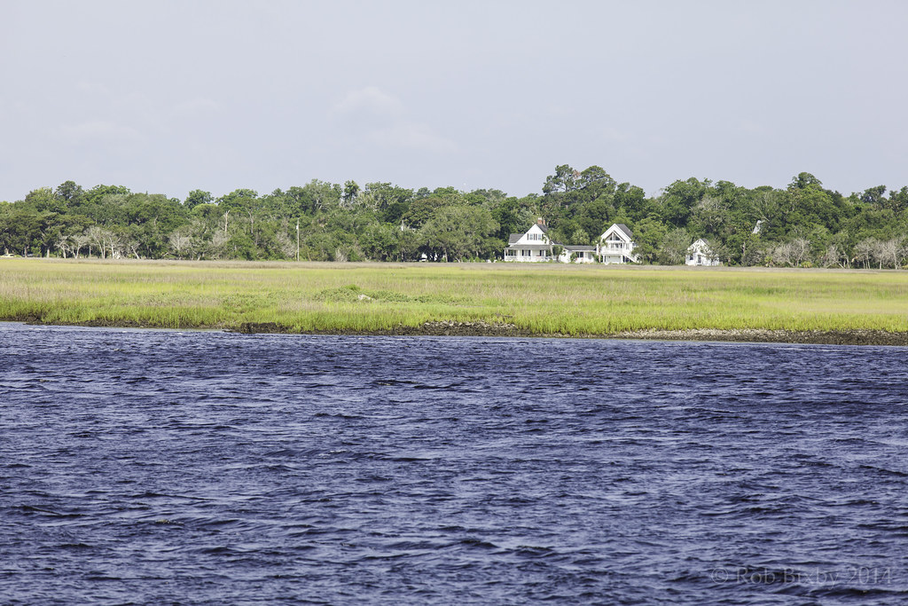 Sea Camp Loop TrailHikingPhoto: Rob Bixby, CC BY 2.0 (via Flickr)~12 min drive
- Sea Camp TrailHikingPhoto: Rob Bixby, CC BY 2.0 (via Flickr)~12 min drive
- River Trail Stop 9Hiking~12 min drive
- River Trail Stop 8Hiking~12 min drive
- River Trail Stop 7Hiking~12 min drive
- River Trail Stop 6Hiking~13 min drive
- River Trail Stop 3Hiking~13 min drive
- River Trail Stop 2Hiking~13 min drive
Conditions and forecast
Daily highs and lows, wind and the chance of precipitation at Start for the next 7 days, from the Open-Meteo model.
Ask about this place
Questions about Rayfield Trail: conditions, access, timing. Answers say when something isn't known.
