Iron Hill Trail
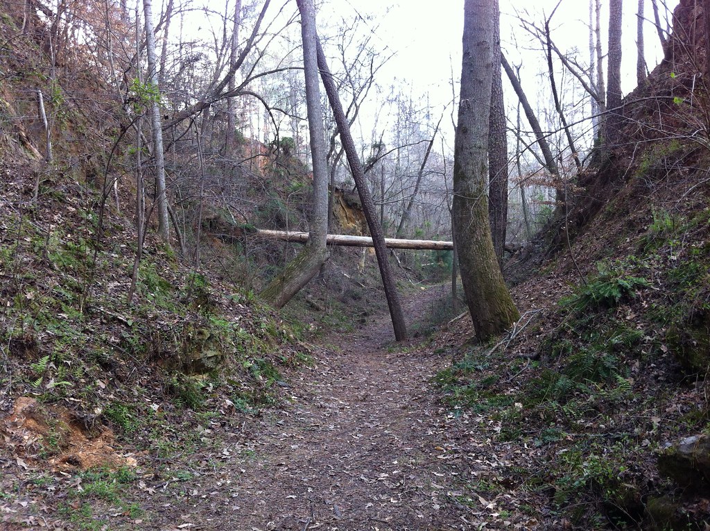 Photo: TranceMist, CC BY 2.0 (via Flickr)
- 0.3 mi
- round trip
- 103 ft
- climb
- 990 ft
- high point
- Out and back
- route
- Feb–Jun, Sep–Nov
- best months
Iron Hill Trail is a short, easy out-and-back hike in Red Top Mountain State Park in Georgia, managed by the State Department of Natural Resources. The trail is about 0.34 miles long, with a total elevation gain of 103 feet, and it starts and ends near 970 feet. The high point is 990 feet, and the steepest stretch comes about a quarter of the way in, with a grade of about 4 percent. Spring and fall are the most comfortable times to go. Typical averages from a nearby weather station at Allatoona Dam show October highs around 73°F with lows near 49°F, and April highs around 72°F. Midsummer highs typically reach the upper 80s. The trail makes an easy pairing with other short hikes in the park. Osprey Loop is about 0.4 miles away and Sweet Gum Trail about 0.5 miles. Climbers can head to Red Top Mountain Boulder, roughly 0.9 miles off, and Allatoona DWS is about 1.3 miles away.
- Osprey LoopHiking0.4 mi
- Sweet Gum TrailHiking0.5 mi
- Red Top Mountain BoulderRock climbing0.9 mi
- Allatoona DWSRock climbing1.3 mi
- Cooper's Furnace Day Use Area (ga)Camping2.3 mi
- Riverside Park Day Use Area (ga)Camping2.4 mi
- Allatoona LakeLake fishing4.5 mi
 Pettit CreekCanoeingPhoto: Thomson200, CC0 (via Wikimedia Commons)7.1 mi
Source: Roamze catalog (indexable pages within 10 miles, PostGIS distance)
- Iron Hill TrailHiking · Next doorPhoto: TranceMist, CC BY 2.0 (via Flickr)
- Bent TrailHiking · ~7 min drive
 Laurel Ridge TrailHiking · ~4 min drivePhoto: Curtis Abert, CC BY 2.0 (via Flickr)
- Cooper's Furnace TrailHiking · ~4 min drivePhoto: Curtis Abert, CC BY 2.0 (via Flickr)
- Pine Mountain South Approach A (unofficial)Hiking · ~5 min drivePhoto: Curtis Abert, CC BY 2.0 (via Flickr)
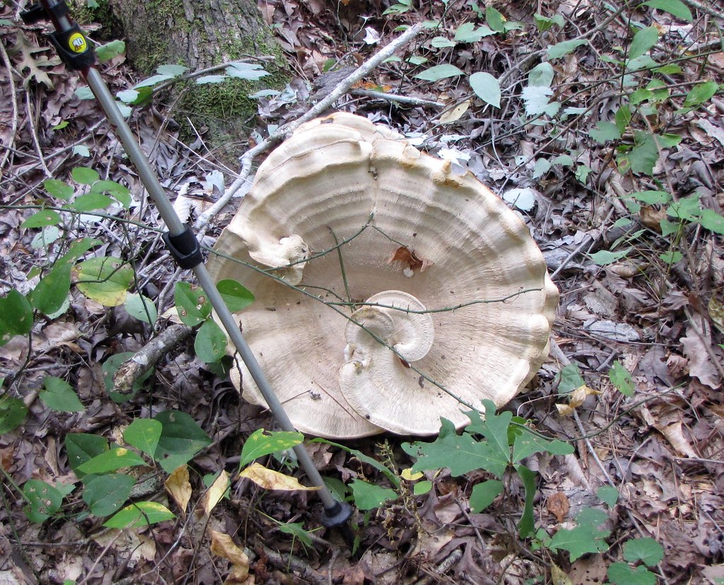 Pine Mountain South Approach C (unofficial)Hiking · ~5 min drivePhoto: The_Gut, CC BY 2.0 (via Flickr)
- Cooper's Furnace TrailHiking · ~5 min drivePhoto: The_Gut, CC BY 2.0 (via Flickr)
- Pine Mountain South Approach B (unofficial)Hiking · ~6 min drivePhoto: The_Gut, CC BY 2.0 (via Flickr)
 Rusty Bucket LoopHiking · ~14 min drivePhoto: jsnyng, CC BY 2.0 (via Flickr)
- Turtle Back LoopHiking · ~15 min drivePhoto: jsnyng, CC BY 2.0 (via Flickr)
Best time to visit Iron Hill Trail
Best months: February–June and September–November. Best months have typical highs of 55–85 °F, lows of 30 °F or warmer (32 °F where the station doesn't record snow), at most one snowy day and no more than 12 wet days.
Jan
51° / 29°
11 wet
Feb
55° / 32°
10 wet
Mar
63° / 39°
11 wet
Apr
72° / 46°
10 wet
May
79° / 56°
9 wet
Jun
85° / 64°
10 wet
Jul
88° / 67°
11 wet
Aug
87° / 67°
9 wet
Sep
82° / 61°
8 wet
Oct
73° / 49°
8 wet
Nov
62° / 38°
9 wet
Dec
54° / 32°
10 wet
Typical high / low (°F) and days with rain or snow, 1991–2020. Measured at Allatoona Dam 2, GA, 2.1 mi away at 975 ft. Source: NOAA NCEI U.S. Climate Normals 1991–2020.

Map and trail data © OpenStreetMap contributors
