Lake Blue Ridge Trail
- 1.1 mi
- loop
- 13 ft
- climb
- 1,746 ft
- high point
- Loop
- route
- Mar–May, Aug–Nov
- best months
Is Lake Blue Ridge Trail open right now?
Closure in the area
There's a closure order in Chattahoochee-Oconee National Forests. It doesn't name Lake Blue Ridge Trail, so check the source for the area it covers (4 listed).
Road Maintenance: West Cowpen Road (FSR 17)
Agency closure covering Chattahoochee-Oconee National Forests · USFS · Chattahoochee-Oconee National Forests
Prescribed fire on Oconee Ranger District at Jasper County
Agency closure covering Chattahoochee-Oconee National Forests · USFS · Chattahoochee-Oconee National Forests
Muskrat Road, FS 218, Temporarily Closed
Agency closure covering Chattahoochee-Oconee National Forests · USFS · Chattahoochee-Oconee National Forests
Flash Flood Awareness
Agency closure covering Chattahoochee-Oconee National Forests · USFS · Chattahoochee-Oconee National Forests
Lake Winfield Scott closed except fishing pier
Agency alert covering Chattahoochee-Oconee National Forests · USFS · Chattahoochee-Oconee National Forests
As of · Source: USFS · Chattahoochee-Oconee National Forests. Agencies don't list every closure — check before you go.
Lake Blue Ridge Trail is an easy, short loop in the Blue Ridge Ranger District of the Chattahoochee-Oconee National Forests in Georgia, about 1.1 miles long with only about 13 feet of elevation gain. The route stays within a few dozen feet of its low point of 1,691 feet and its high of 1,746 feet, so it is a gentle walk for a warm-up or a break between stops around the area. The trail is a loop, and the steepest stretch comes about 0.13 miles in at a 10% grade. Bikes are allowed, and horses are not. The surface is natural, and the trail is open year-round. The most comfortable months tend to be late spring and early fall. Typical averages from a nearby weather station in Blairsville run to highs around 76°F in May and 80°F in September, with October cooling to about 70°F. Lake Blue Ridge, a lake fishing spot, lies about 1.2 miles away, and the Green Mountain hike is about 1.7 miles off. The Toccoa River fishing is about 2.6 miles away, and Morganton Point campground is about 2.8 miles away.
Best time to go · Mar–May, Aug–Nov
Best time to visit Lake Blue Ridge Trail
Best months: March–May and August–November. Best months have typical highs of 55–85 °F, lows of 30 °F or warmer (32 °F where the station doesn't record snow), at most one snowy day and no more than 12 wet days.
Jan
49° / 25°
12 wet
Feb
53° / 28°
12 wet
Mar
60° / 34°
12 wet
Apr
69° / 41°
11 wet
May
76° / 50°
12 wet
Jun
82° / 58°
13 wet
Jul
85° / 62°
13 wet
Aug
84° / 61°
12 wet
Sep
80° / 55°
9 wet
Oct
70° / 43°
10 wet
Nov
61° / 33°
10 wet
Dec
52° / 29°
12 wet
Typical high / low (°F) and days with rain or snow, 1991–2020. Measured at Blairsville Exp Stn, GA, 19.5 mi away at 1,949 ft. This station doesn't record snowfall. Source: NOAA NCEI U.S. Climate Normals 1991–2020.
Closures we've recorded since August 2026
Spring 2026 Forest-wide Fire Restrictions
Chattahoochee-Oconee National Forests · Order dated April 23, 2026; seen Aug 23, 2026 → lifted Oct 13, 2026 · Forest Service
Keep exploring — more trails worth the drive
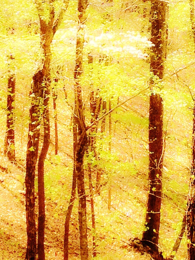 Photo: Olin Gilbert, CC BY 2.0 (via Flickr)
GREEN MOUNTAIN
~3 min drive
5.48-mile out-and-back trail in Georgia with 2,244 ft elevation gain
Photo: Olin Gilbert, CC BY 2.0 (via Flickr)Flat Creek Loop
~4 min drive
10.14-mile loop in Georgia with 1,593 ft gain and 1,745 ft loss.
 Photo: schwglr, CC BY-SA 2.0 (via Flickr)
Morganton Point Lake Trail
~4 min drive
0.42-mile out-and-back hike at Morganton Point Lake Trail in Georgia
HIKE
Duncan Ridge Trail
~17 min drive
12.70-mile out-and-back hike in Georgia with 7,882 ft gain
Photo: Olin Gilbert, CC BY 2.0 (via Flickr)Lower Green Mountain (Connecto
~3 min drive
2.04-mile out-and-back trail in Georgia with 321 ft gain.
 Photo: Thomson20192, Public Domain Dedication (CC0) (via Flickr)
Stanley Gap
~8 min drive
9.66-mile out-and-back trail in Georgia with 1,006 ft gain.
Photo: Thomson20192, Public Domain Dedication (CC0) (via Flickr)Stanley Creek
~8 min drive
1.60-mile out-and-back trail in Georgia with 283 ft elevation gain
Photo: Thomson20192, Public Domain Dedication (CC0) (via Flickr)Benton Mackaye Trail
~8 min drive
A 279.77-mile point-to-point backpacking trail through remote Georgia mountain wilderness.
 Photo: Lahti213, CC BY-SA 4.0 (via Wikimedia Commons)
Toccoa Canoe Trail
~9 min drive
26.86-mile out-and-back canoe trail in Georgia with 1,071 ft elevation gain
HIKE
Long Branch Loop Connector
~4 min drive
0.86-mile out-and-back trail in Georgia with 347 ft elevation gain

