Homestead Trail
- 2.8 mi
- loop
- 229 ft
- climb
- 1,021 ft
- high point
- Loop
- route
- Feb–Jun, Sep–Nov
- best months
Homestead Trail is a 2.8-mile loop hike in Red Top Mountain State Park in Georgia, managed by the State Department of Natural Resources. The trail is rated easy, with a total elevation gain of 229 feet, and it starts at about 958 feet, rising to a high point of 1,021 feet. The steepest stretch comes at about 1.4 miles in, with a grade of 15 percent. Spring and fall are the most comfortable times to go. Typical averages from a nearby weather station at Allatoona Dam show October highs around 73°F with lows near 49°F, and April highs around 72°F. Summer runs hotter, with July highs near 88°F. The trail is not wheelchair accessible, and bikes are not allowed. Sweet Gum Trail and Osprey Loop are both within a mile, and Red Top Mountain Boulder is close by for climbers. Cooper's Furnace Day Use Area is about 1.8 miles away.
Best time to go · Feb–Jun, Sep–Nov
Best time to visit Homestead Trail
Best months: February–June and September–November. Best months have typical highs of 55–85 °F, lows of 30 °F or warmer (32 °F where the station doesn't record snow), at most one snowy day and no more than 12 wet days.
Jan
51° / 29°
11 wet
Feb
55° / 32°
10 wet
Mar
63° / 39°
11 wet
Apr
72° / 46°
10 wet
May
79° / 56°
9 wet
Jun
85° / 64°
10 wet
Jul
88° / 67°
11 wet
Aug
87° / 67°
9 wet
Sep
82° / 61°
8 wet
Oct
73° / 49°
8 wet
Nov
62° / 38°
9 wet
Dec
54° / 32°
10 wet
Typical high / low (°F) and days with rain or snow, 1991–2020. Measured at Allatoona Dam 2, GA, 1.5 mi away at 975 ft. Source: NOAA NCEI U.S. Climate Normals 1991–2020.
Keep exploring — more trails worth the drive
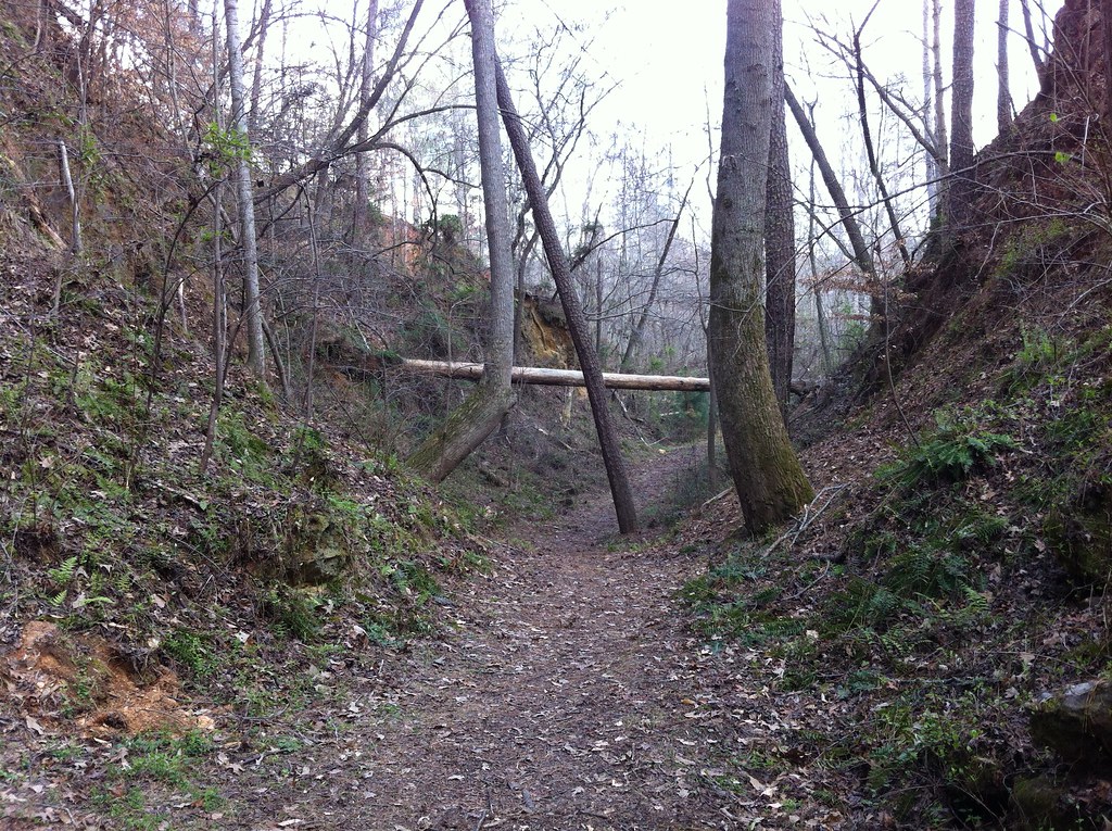 Photo: TranceMist, CC BY 2.0 (via Flickr)
Iron Hill Trail
~2 min drive
0.68-mile out-and-back trail in Georgia with 103 ft of elevation gain.
HIKE
Bent Trail
~7 min drive
5.32-mile out-and-back hike in Georgia with 505 ft elevation gain/loss.
Photo: TranceMist, CC BY 2.0 (via Flickr)Iron Hill Trail
~2 min drive
0.9-mile out-and-back hike in Georgia with 151 ft elevation gain.
HIKE
White Trail - Segment #2
~20 min drive
3.54-mile out-and-back trail in Georgia with 1,094 ft elevation gain
 Photo: Curtis Abert, CC BY 2.0 (via Flickr)
Laurel Ridge Trail
~3 min drive
0.9-mile out-and-back hike in Georgia with 403 ft elevation gain.
Photo: Curtis Abert, CC BY 2.0 (via Flickr)Cooper's Furnace Trail
~3 min drive
1.0-mile out-and-back trail in Georgia with 320 ft elevation gain
Photo: Curtis Abert, CC BY 2.0 (via Flickr)Pine Mountain South Approach A (unofficial)
~4 min drive
1.6-mile out-and-back trail with 670 ft elevation gain in Georgia
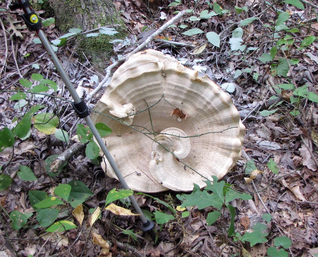 Photo: The_Gut, CC BY 2.0 (via Flickr)
Cooper's Furnace Trail
~4 min drive
1.9-mile out-and-back trail in Georgia with 565 ft elevation gain
Photo: The_Gut, CC BY 2.0 (via Flickr)Pine Mountain South Approach C (unofficial)
~4 min drive
0.94-mile out-and-back trail in Georgia with 561 ft elevation gain
Photo: The_Gut, CC BY 2.0 (via Flickr)Pine Mountain South Approach B (unofficial)
~4 min drive
0.74-mile out-and-back trail in Georgia with 506 ft elevation gain

Route details
- Distance
- 2.8 mi
- Climbing
- About 229 ft
- Summit
- 1,067 ft
- Difficulty
- Easy
- Time
- About 1.5 hours
Questions about this route
How long is the Homestead Trail on Red Top Mountain?
About 2.8 mi.
How much elevation gain is on the Homestead Trail?
About 229 ft of climbing round trip.
How hard is the Homestead Trail?
It is rated easy.
How long does the Homestead Trail take?
About 1.5 hours round trip.
Conditions and forecast on Red Top Mountain
Daily highs and lows, wind and the chance of precipitation at the summit and route start for the next 7 days, from the Open-Meteo model.
Map and trail data © OpenStreetMap contributors
