Tallulah River Campground
Campground
Campground · 0.2 mi from the trail
Closure in the area
There's a closure order in Chattahoochee-Oconee National Forests. It doesn't name Coleman River, so check the source for the area it covers (4 listed).
Road Maintenance: West Cowpen Road (FSR 17)
Agency closure covering Chattahoochee-Oconee National Forests · USFS · Chattahoochee-Oconee National Forests
Prescribed fire on Oconee Ranger District at Jasper County
Agency closure covering Chattahoochee-Oconee National Forests · USFS · Chattahoochee-Oconee National Forests
Muskrat Road, FS 218, Temporarily Closed
Agency closure covering Chattahoochee-Oconee National Forests · USFS · Chattahoochee-Oconee National Forests
Flash Flood Awareness
Agency closure covering Chattahoochee-Oconee National Forests · USFS · Chattahoochee-Oconee National Forests
Lake Winfield Scott closed except fishing pier
Agency alert covering Chattahoochee-Oconee National Forests · USFS · Chattahoochee-Oconee National Forests
As of · Source: USFS · Chattahoochee-Oconee National Forests. Agencies don't list every closure — check before you go.
Coleman River is an easy out-and-back hike of about 1.6 miles in the Chattooga River Ranger District of the Chattahoochee-Oconee National Forests in north Georgia. The trail rises from a starting point of about 2,083 feet to a high point of 2,341 feet, with a total elevation gain of about 602 feet for the round trip. The climb is steepest near the start, with a grade of about 15 percent at about 0.07 miles in. The route is on natural surface, and bikes are allowed. The Forest Service manages the land, and the trail is open year-round. A typical day on foot takes about an hour. For comfortable weather, aim for late spring or early fall. Typical averages from the nearby Germany Valley weather station run from highs around 72°F in May to about 74°F in September, with July highs near 80°F. That station sits about 490 feet higher than the trail's start, so temperatures on the trail run a little warmer. Tate Branch Campground is about 1.7 miles away, and the Tate Branch Trail is about 2 miles off. The Chestnut Mountain Trail and Hickory Nut Cove Trail are each about 3 miles away.
Tallulah River Campground
Campground
חדר אוכל
Fast food
Sunset Rock
Viewpoint
Cliff in Macon County, North Carolina, United States
Places © OpenStreetMap contributors
More in HighlandsNot on Roamze yet. Their page has how to reach them.
Best months: March–November. Best months have typical highs of 55–85 °F, lows of 30 °F or warmer (32 °F where the station doesn't record snow), at most one snowy day and no more than 12 wet days.
Jan
46° / 26°
Feb
50° / 28°
Mar
57° / 35°
Apr
66° / 43°
May
72° / 51°
Jun
77° / 59°
Jul
80° / 62°
Aug
79° / 61°
Sep
74° / 55°
Oct
66° / 44°
Nov
57° / 35°
Dec
49° / 30°
Typical high / low (°F) and days with rain or snow, 1991–2020. Measured at Germany Valley, GA, 5.2 mi away at 2,832 ft. This station doesn't record snowfall. Source: NOAA NCEI U.S. Climate Normals 1991–2020.
Spring 2026 Forest-wide Fire Restrictions
Chattahoochee-Oconee National Forests · Order dated April 23, 2026; seen Aug 23, 2026 → lifted Oct 13, 2026 · Forest Service
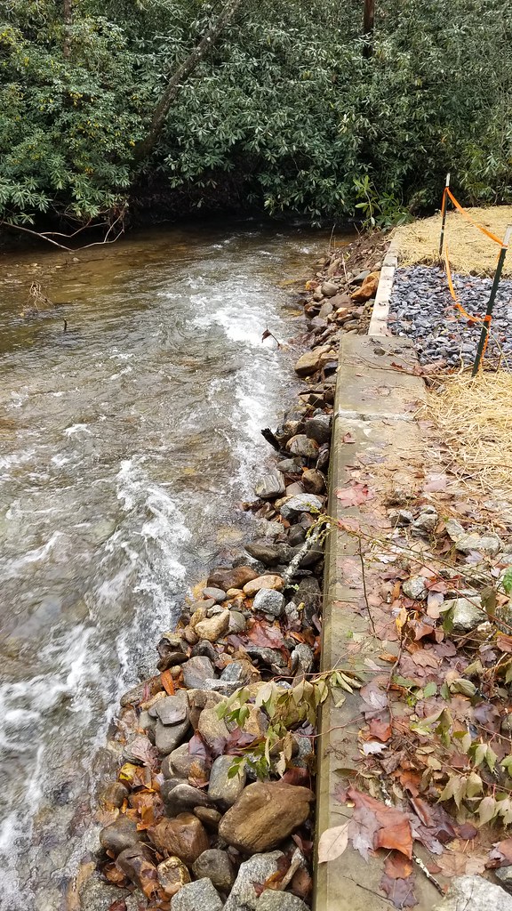 Photo: ChattOconeeNF, CC BY 2.0 (via Flickr)
Chestnut Mountain Trail
~5 min drive
1.16-mile out-and-back trail in Georgia with 359 ft elevation gain and loss.
Photo: ChattOconeeNF, CC BY 2.0 (via Flickr)Hickory Nut Cove Trail
~5 min drive
2.74-mile out-and-back hike in Georgia with 1,250 ft elevation gain and loss.
 Photo: Wncoutdoors, CC BY-SA 3.0 (via Wikimedia Commons)
Beech Creek
~11 min drive
A 12.73-mile out-and-back trail in North Carolina with 2323 ft elevation gain.
 Photo: ChattOconeeNF, CC BY 2.0 (via Flickr)
Grassy Ridge/Carter Gap Trail
~8 min drive
0.64-mile out-and-back trail in Georgia with 471 ft gain and 3,599 ft max elevation
Photo: ChattOconeeNF, CC BY 2.0 (via Flickr)Snake Den Trail
~7 min drive
3.66-mile out-and-back hike in Georgia with 1,610 ft elevation gain
 Photo: Pete Seabolt, CC BY 3.0 (via Wikimedia Commons)
Big Indian Loop
~12 min drive
10 mi · Hard
 Photo: Pete Seabolt, CC BY 3.0 (via Wikimedia Commons)
Beech Gap
~10 min drive
A 2.15-mile out-and-back Tennessee trail connecting to Deep Gap and Whigg Meadow.
 Photo: lns1122, CC BY 2.0 (via Flickr)
Tennessee Rock Trail
~13 min drive
2.08-mile loop in Georgia with 911 ft elevation gain and loss.
Photo: Wncoutdoors, CC BY-SA 3.0 (via Wikimedia Commons)Buck Creek Trail
~10 min drive
11.04-mile out-and-back hike in North Carolina with 3,714 ft elevation gain
Photo: Wncoutdoors, CC BY-SA 3.0 (via Wikimedia Commons)Big Scaley
~12 min drive
1.60-mile out-and-back trail in North Carolina with 320 ft elevation gain.


