Broad River
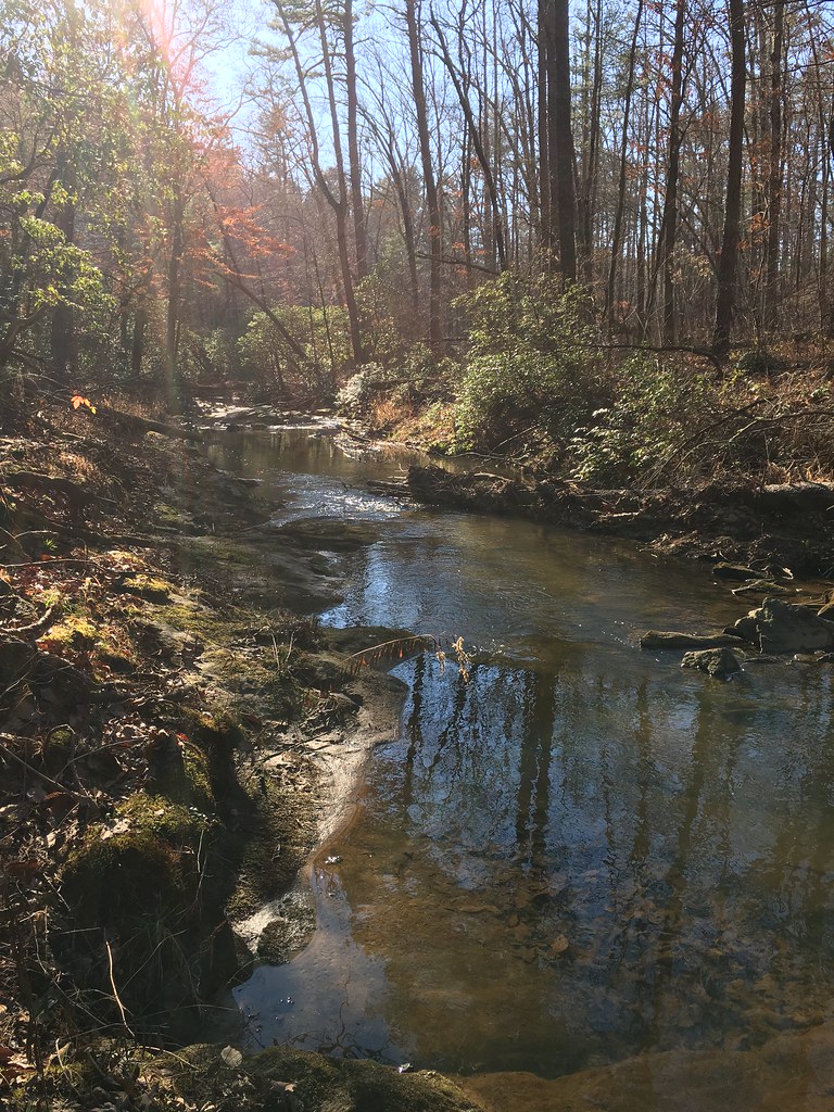 Photo: ChattOconeeNF, Public Domain Mark (via Flickr)
- 8.2 mi
- round trip
- 1,417 ft
- climb
- 1,099 ft
- high point
- Out and back
- route
- Feb–May, Sep–Dec
- best months
Is Broad River open right now?
Closure in the area
There's a closure order in Chattahoochee-Oconee National Forests. It doesn't name Broad River, so check the source for the area it covers (4 listed).
Road Maintenance: West Cowpen Road (FSR 17)
Agency closure covering Chattahoochee-Oconee National Forests · USFS · Chattahoochee-Oconee National Forests
Prescribed fire on Oconee Ranger District at Jasper County
Agency closure covering Chattahoochee-Oconee National Forests · USFS · Chattahoochee-Oconee National Forests
Muskrat Road, FS 218, Temporarily Closed
Agency closure covering Chattahoochee-Oconee National Forests · USFS · Chattahoochee-Oconee National Forests
Flash Flood Awareness
Agency closure covering Chattahoochee-Oconee National Forests · USFS · Chattahoochee-Oconee National Forests
Lake Winfield Scott closed except fishing pier
Agency alert covering Chattahoochee-Oconee National Forests · USFS · Chattahoochee-Oconee National Forests
As of · Source: USFS · Chattahoochee-Oconee National Forests. Agencies don't list every closure — check before you go.
Broad River is an out-and-back hike of about 8 miles in the Chattooga River Ranger District of the Chattahoochee-Oconee National Forests in north Georgia, within the Lake Russell Wildlife Management Area. The State Department of Natural Resources manages the land, and the trail is natural-surfaced with no designated route for horses or bikes. The climb is a steady one, rising from about 900 feet to about 1,100 feet, with the steepest stretch at about 13% grade around the 2.2-mile mark. The hike is rated hard, and the total elevation gain is about 360 feet. Spring and fall are the most comfortable times to go. Typical averages from a nearby weather station in Toccoa show October highs around 74°F with lows near 51°F, and April is similar at about 73°F by day and 49°F at night. July is the warmest month, with highs near 89°F. Lake Russell Campground is about 5 miles away, and the Leatherwood Creek and Pear Orchard hikes are each within about a mile and a half. Climbers can find the Above the Brick Wall area about 2.5 miles off.
Local outfitters
Not on Roamze yet. Their page has how to reach them.
Best time to go · Feb–May, Sep–Dec
Best time to visit Broad River
Best months: February–May and September–December. Best months have typical highs of 55–85 °F, lows of 30 °F or warmer (32 °F where the station doesn't record snow), at most one snowy day and no more than 12 wet days.
Jan
53° / 33°
11 wet
Feb
56° / 36°
10 wet
Mar
64° / 41°
11 wet
Apr
73° / 49°
10 wet
May
80° / 58°
10 wet
Jun
86° / 66°
11 wet
Jul
89° / 69°
12 wet
Aug
88° / 68°
11 wet
Sep
83° / 63°
8 wet
Oct
74° / 51°
8 wet
Nov
64° / 41°
9 wet
Dec
55° / 36°
11 wet
Typical high / low (°F) and days with rain or snow, 1991–2020. Measured at Toccoa, GA, 6.1 mi away at 1,012 ft. This station doesn't record snowfall. Source: NOAA NCEI U.S. Climate Normals 1991–2020.
Closures we've recorded since August 2026
Spring 2026 Forest-wide Fire Restrictions
Chattahoochee-Oconee National Forests · Order dated April 23, 2026; seen Aug 23, 2026 → lifted Oct 13, 2026 · Forest Service
Keep exploring — more trails worth the drive
 Photo: Bas van Oorschot, CC BY-SA 3.0 (via Wikimedia Commons)
Stone Place Trail
~24 min drive
4.98-mile out-and-back hike in Georgia with 1,237 ft elevation gain
Photo: Bas van Oorschot, CC BY-SA 3.0 (via Wikimedia Commons)High Bluff Trail
~25 min drive
2.26-mile out-and-back trail in Georgia with 462 ft elevation gain.
 Photo: twslivxe26, CC BY-SA 2.0 (via Flickr)
Mount Yonah
~32 min drive
2.46-mile out-and-back trail in Georgia with 1,921 ft elevation gain.
HIKE
FRADY BRANCH LOOP
~2 min drive
13.56-mile out-and-back out-and-back in Georgia with 2,101 ft elevation gain
 Photo: pseabolt, CC BY 3.0 (via Wikimedia Commons)
Terrora Lake Loop Trail
~25 min drive
0.54-mile loop around Terrora Lake in Georgia with 193 ft of elevation gain.
HIKE
Leatherwood Creek
~2 min drive
Creek-side out-and-back hike through Georgia forest with moderate difficulty.
HIKE
Latham Cemetary
~3 min drive
4.46-mile loop at Latham Cemetary in Georgia
Photo: pseabolt, CC BY 3.0 (via Wikimedia Commons)Stone Place Trail
~25 min drive
1.08-mile out-and-back trail in Georgia with 304 ft elevation gain.
HIKE
Ladyslipper
~6 min drive
10.52-mile out-and-back trail in Georgia with 1,004 ft elevation gain.
HIKE
Lake Russell Loop
~7 min drive
4.86-mile loop around Lake Russell in Georgia with 1,575 ft elevation gain.


