Latham Cemetary
- 4.5 mi
- loop
- 154 ft
- climb
- 1,294 ft
- high point
- Loop
- route
- Feb–May, Sep–Dec
- best months
Is Latham Cemetary open right now?
Closure in the area
There's a closure order in Chattahoochee-Oconee National Forests. It doesn't name Latham Cemetary, so check the source for the area it covers (4 listed).
Road Maintenance: West Cowpen Road (FSR 17)
Agency closure covering Chattahoochee-Oconee National Forests · USFS · Chattahoochee-Oconee National Forests
Prescribed fire on Oconee Ranger District at Jasper County
Agency closure covering Chattahoochee-Oconee National Forests · USFS · Chattahoochee-Oconee National Forests
Muskrat Road, FS 218, Temporarily Closed
Agency closure covering Chattahoochee-Oconee National Forests · USFS · Chattahoochee-Oconee National Forests
Flash Flood Awareness
Agency closure covering Chattahoochee-Oconee National Forests · USFS · Chattahoochee-Oconee National Forests
Lake Winfield Scott closed except fishing pier
Agency alert covering Chattahoochee-Oconee National Forests · USFS · Chattahoochee-Oconee National Forests
As of · Source: USFS · Chattahoochee-Oconee National Forests. Agencies don't list every closure — check before you go.
Latham Cemetary is a 4.46-mile loop in Georgia with 315 feet of elevation gain and 357 feet of elevation loss. The trail is managed by the State Department of Natural Resources.
Best time to go · Feb–May, Sep–Dec
Best time to visit Latham Cemetary
Best months: February–May and September–December. Best months have typical highs of 55–85 °F, lows of 30 °F or warmer (32 °F where the station doesn't record snow), at most one snowy day and no more than 12 wet days.
Jan
53° / 33°
11 wet
Feb
56° / 36°
10 wet
Mar
64° / 41°
11 wet
Apr
73° / 49°
10 wet
May
80° / 58°
10 wet
Jun
86° / 66°
11 wet
Jul
89° / 69°
12 wet
Aug
88° / 68°
11 wet
Sep
83° / 63°
8 wet
Oct
74° / 51°
8 wet
Nov
64° / 41°
9 wet
Dec
55° / 36°
11 wet
Typical high / low (°F) and days with rain or snow, 1991–2020. Measured at Toccoa, GA, 5 mi away at 1,012 ft. This station doesn't record snowfall. Source: NOAA NCEI U.S. Climate Normals 1991–2020.
Closures we've recorded since August 2026
Spring 2026 Forest-wide Fire Restrictions
Chattahoochee-Oconee National Forests · Order dated April 23, 2026; seen Aug 23, 2026 → lifted Oct 13, 2026 · Forest Service
Keep exploring — more trails worth the drive
 Photo: Bas van Oorschot, CC BY-SA 3.0 (via Wikimedia Commons)
Stone Place Trail
~24 min drive
4.98-mile out-and-back hike in Georgia with 1,237 ft elevation gain
Photo: Bas van Oorschot, CC BY-SA 3.0 (via Wikimedia Commons)High Bluff Trail
~25 min drive
2.26-mile out-and-back trail in Georgia with 462 ft elevation gain.
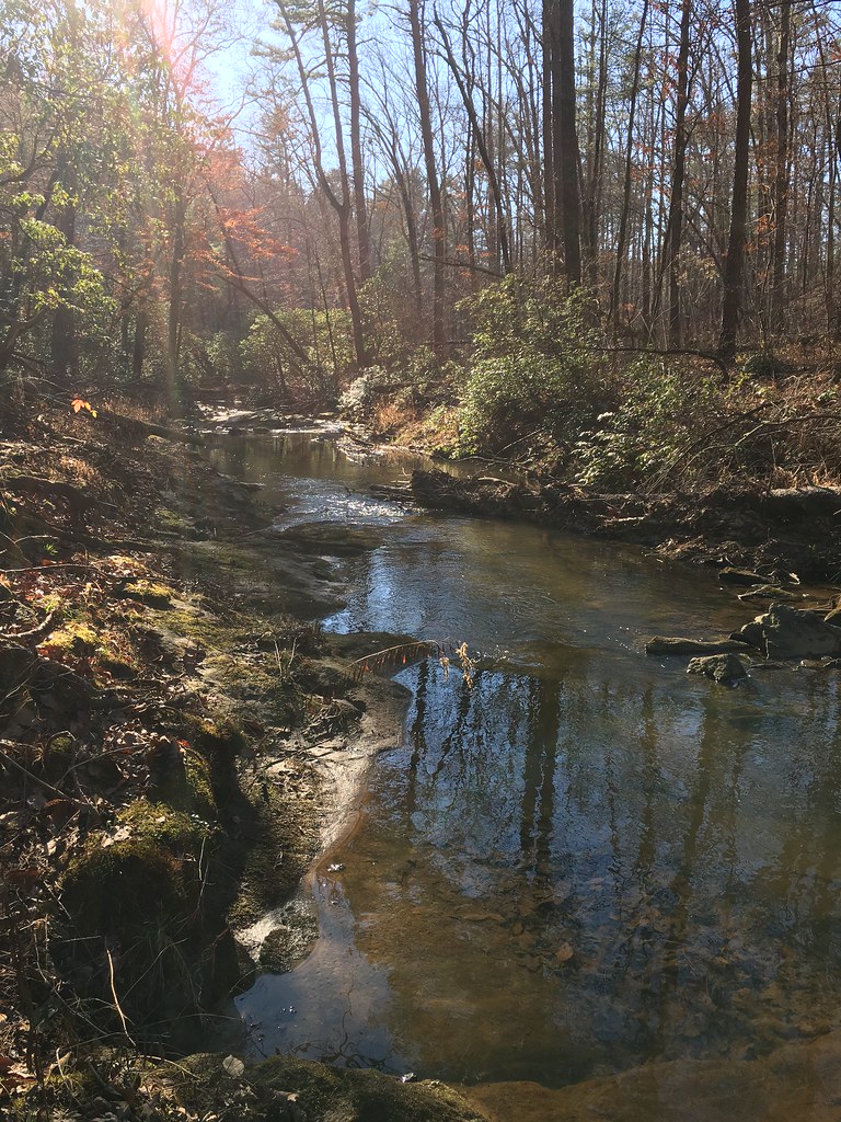 Photo: ChattOconeeNF, Public Domain Mark (via Flickr)
Broad River
~3 min drive
8.18-mile out-and-back trail on the Broad River in Georgia with 874 ft gain.
HIKE
FRADY BRANCH LOOP
Next door
13.56-mile out-and-back out-and-back in Georgia with 2,101 ft elevation gain
 Photo: pseabolt, CC BY 3.0 (via Wikimedia Commons)
Stone Place Trail
~25 min drive
1.08-mile out-and-back trail in Georgia with 304 ft elevation gain.
HIKE
Leatherwood Creek
~2 min drive
Creek-side out-and-back hike through Georgia forest with moderate difficulty.
HIKE
Trestle Loop
~7 min drive
7.96-mile loop in Georgia with 1,516 ft elevation gain and loss.
Photo: pseabolt, CC BY 3.0 (via Wikimedia Commons)Terrora Lake Loop Trail
~25 min drive
0.54-mile loop around Terrora Lake in Georgia with 193 ft of elevation gain.
HIKE
Ladyslipper
~8 min drive
10.52-mile out-and-back trail in Georgia with 1,004 ft elevation gain.
HIKE
Lake Russell Loop
~9 min drive
4.86-mile loop around Lake Russell in Georgia with 1,575 ft elevation gain.
Also worth it near here


