Backcountry Campsite 3
- Feb–May, Sep–Nov
- best months
Is Backcountry Campsite 3 open right now?
Closure in the area
There's a closure order in Chattahoochee-Oconee National Forests. It doesn't name Backcountry Campsite 3, so check the source for the area it covers (5 listed).
West Cowpen, FS Road 17, Road Maintenance
Agency closure covering Chattahoochee-Oconee National Forests · USFS · Chattahoochee-Oconee National Forests
Bear Creek Road, FS 241, Temporarily Closed
Agency closure covering Chattahoochee-Oconee National Forests · USFS · Chattahoochee-Oconee National Forests
Prescribed fire on Oconee Ranger District at Jasper County
Agency closure covering Chattahoochee-Oconee National Forests · USFS · Chattahoochee-Oconee National Forests
Muskrat Road, FS 218, Temporarily Closed
Agency closure covering Chattahoochee-Oconee National Forests · USFS · Chattahoochee-Oconee National Forests
Flash Flood Awareness
Agency closure covering Chattahoochee-Oconee National Forests · USFS · Chattahoochee-Oconee National Forests
As of · Source: USFS · Chattahoochee-Oconee National Forests. Agencies don't list every closure — check before you go.
- At 2,419 ft
- Conasauga Ranger DistrictFort Mountain State Park · Chattahoochee-Oconee National Forests
Backcountry Campsite 3 is a primitive backcountry camping location in Georgia, offering an authentic wilderness experience for those seeking solitude and self-sufficiency. This remote site is ideal for backpackers and wilderness enthusiasts looking to explore Georgia's backcountry on a first-come, first-served basis. The site suits adventurers interested in backcountry hiking, dispersed camping, and immersive nature experiences away from developed facilities.
Local outfitters
- Outdoor Adventure Rafting29 mi away
- Hiwassee Outfitters32 mi away
Not on Roamze yet. Their page has how to reach them.
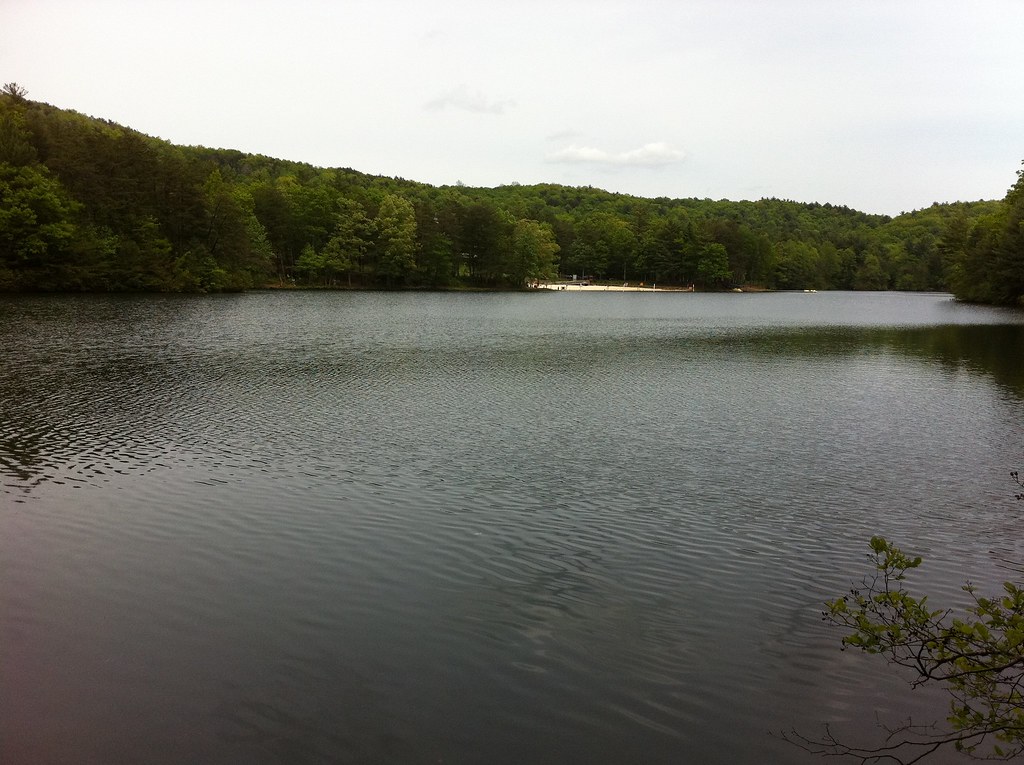 GahutiHikingPhoto: TranceMist, CC BY 2.0 (via Flickr)0.2 mi
- Big Rock TrailHikingPhoto: TranceMist, CC BY 2.0 (via Flickr)0.3 mi
- Lake TrailHikingPhoto: TranceMist, CC BY 2.0 (via Flickr)0.3 mi
 Fort Mountain State ParkState parkPhoto: Thomson200, CC0 (via Wikimedia Commons)1 mi
- Fort MountainSummit1.7 mi
 Grassy MountainSummitPhoto: Thomson200, CC0 (via Wikimedia Commons)7.6 mi
- Conasauga CreekCanoeing7.9 mi
 Bald MountainSummitPhoto: Thomson M, CC BY 3.0 (via Wikimedia Commons)8.9 mi
Source: Roamze catalog (indexable pages within 10 miles, PostGIS distance)
 Backcountry Campsite 4Camping · ~2 min drivePhoto: Thomson M, CC BY 3.0 (via Wikimedia Commons)
- Woodring Day Use Area ShelterCamping · ~18 min drive
- Rereg Dam Day Use Area ShelterCamping · ~18 min drive
- Doll Mountain Day Use Area ShelterCamping · ~20 min drive
 Tumbling Creek CgCamping · ~39 min drivePhoto: Harrison Keely, CC BY 4.0 (via Wikimedia Commons)
 Glamp Blue RidgeCamping · ~40 min drivePhoto: Thomson20192, CC0 (via Wikimedia Commons)
- Thunder Rock CampgroundCamping · ~44 min drive
 Blue Ridge / Toccoa River KOA HolidayCamping · ~44 min drivePhoto: Thomson200, CC0 (via Wikimedia Commons)
 Parksville CampgroundCamping · ~45 min drivePhoto: Peter K., CC BY-SA 3.0 (via Wikimedia Commons)
- Backcountry Campsite #2Camping · ~2 min drive
Best time to visit Backcountry Campsite 3
Best months: February–May and September–November. Best months have typical highs of 55–85 °F, lows of 30 °F or warmer (32 °F where the station doesn't record snow), at most one snowy day and no more than 12 wet days.
Jan
51° / 31°
Feb
55° / 34°
Mar
65° / 41°
Apr
73° / 48°
May
80° / 57°
Jun
86° / 65°
Jul
89° / 69°
Aug
89° / 68°
Sep
84° / 62°
Oct
75° / 49°
Nov
63° / 40°
Dec
54° / 34°
Typical high / low (°F) and days with rain or snow, 1991–2020. Measured at Dalton, GA, 9.8 mi away at 799 ft. The station sits about 1,600 ft lower than this place, so expect it a little cooler here. This station doesn't record snowfall. Source: NOAA NCEI U.S. Climate Normals 1991–2020.
Closures we've recorded since August 2026
Spring 2026 Forest-wide Fire Restrictions
Chattahoochee-Oconee National Forests · Order dated April 23, 2026; seen Aug 23, 2026 → lifted Oct 13, 2026 · Forest Service
Map and trail data © OpenStreetMap contributors
