A.T. Woods Hole Shelter
Is A.T. Woods Hole Shelter open right now?
Closure in the area
There's a closure order in Chattahoochee-Oconee National Forests. It doesn't name A.T. Woods Hole Shelter, so check the source for the area it covers (5 listed).
West Cowpen, FS Road 17, Road Maintenance
Agency closure covering Chattahoochee-Oconee National Forests · USFS · Chattahoochee-Oconee National Forests
Bear Creek Road, FS 241, Temporarily Closed
Agency closure covering Chattahoochee-Oconee National Forests · USFS · Chattahoochee-Oconee National Forests
Prescribed fire on Oconee Ranger District at Jasper County
Agency closure covering Chattahoochee-Oconee National Forests · USFS · Chattahoochee-Oconee National Forests
Muskrat Road, FS 218, Temporarily Closed
Agency closure covering Chattahoochee-Oconee National Forests · USFS · Chattahoochee-Oconee National Forests
Flash Flood Awareness
Agency closure covering Chattahoochee-Oconee National Forests · USFS · Chattahoochee-Oconee National Forests
As of · Source: USFS · Chattahoochee-Oconee National Forests. Agencies don't list every closure — check before you go.
- At 3,612 ft
- Blue Ridge Ranger DistrictChattahoochee-Oconee National Forests
A.T. Woods Hole Shelter is a small, rustic shelter camping area managed by the U.S. Forest Service in Georgia, offering 7 sites nestled in a woodland setting. This intimate backcountry facility operates on a first-come, first-served basis, making it ideal for hikers and backpackers seeking a primitive camping experience along the Appalachian Trail corridor. The shelter setting provides a quiet retreat for those exploring Georgia's mountain forests and nearby trail networks.
Local outfitters
- North Georgia Ultimate Canopy Tours29 mi away
- Hiwassee Outfitters44 mi away
Not on Roamze yet. Their page has how to reach them.
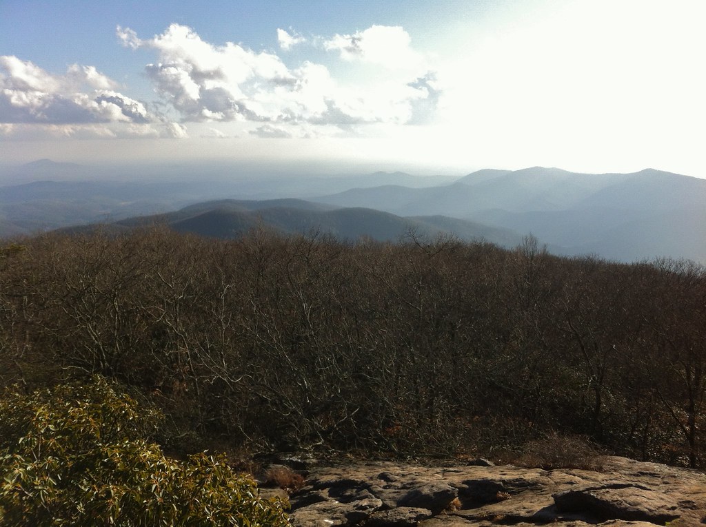 Woods Hole ShelterHikingPhoto: TranceMist, CC BY 2.0 (via Flickr)0.4 mi
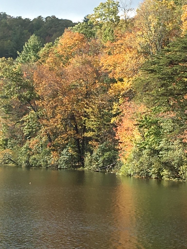 Slaughter CreekHikingPhoto: ChattOconeeNF, CC BY 2.0 (via Flickr)0.4 mi
- big cheeseRock climbing1 mi
- Blood MountainRock climbing1 mi
- Nottely FallsWaterfall2 mi
 Vogel State ParkState parkPhoto: Thomson200, CC0 (via Wikimedia Commons)2.3 mi
 Lake Winfield Scott Recreation AreaCampingPhoto: Recreation.gov (RIDB) / public domain3.6 mi
- Nottely RiverCanoeing4.9 mi
Source: Roamze catalog (indexable pages within 10 miles, PostGIS distance)
 DeSoto Falls CampgroundCamping · ~5 min drivePhoto: Bas van Oorschot, CC BY-SA 3.0 (via Wikimedia Commons)
 A.T. Gooch Mountain ShelterCamping · ~13 min drivePhoto: Chanilim714, CC BY-SA 3.0 (via Wikimedia Commons)
 Camp Hidden LakeCamping · ~17 min drivePhoto: Scott Long, CC BY 3.0 (via Wikimedia Commons)
 Bear Ridge Group CampCamping · ~21 min drivePhoto: Dsdugan, CC0 (via Wikimedia Commons)
- Lake Winfield Scott Recreation AreaCamping · ~6 min drive
- Freeman/AT CampsiteCamping · Next door
- Lake Winfield Scott CampgroundCamping · ~2 min drive
- Jarrard Gap CampsiteCamping · ~2 min drive
- A.T. Blood Mountain ShelterCamping · ~2 min drive
- Vogel State Park CampgroundCamping · ~4 min drive
Also worth it near here
- Woods Hole ShelterHiking · Next doorPhoto: TranceMist, CC BY 2.0 (via Flickr)
 Blood MountainSummit · ~2 min drivePhoto: Thomson200, CC0 (via Wikimedia Commons)
 DeSoto FallsWaterfall · ~4 min drivePhoto: Thomsonmg2000, CC0 (via Wikimedia Commons)
 Tesnatee Gap TrailRock climbing · ~10 min drivePhoto: Thomsonmg2000, CC0 (via Wikimedia Commons)
