Yellow Trail
- 1.8 mi
- one way
- 56 ft
- high point
- Point to point
- route
- Easy
- difficulty
- Oct–Apr
- best months
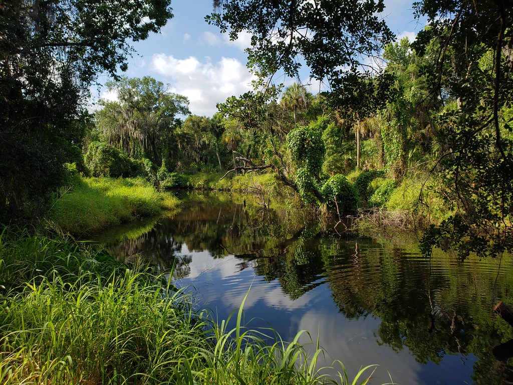
Yellow Trail is an easy 1.84-mile hike on city-managed land in Brooker Creek Headwaters, Florida. It runs point to point, so plan on either a car shuttle or a walk back the way you came. The route is essentially flat, with no elevation gain listed one way. The whole trail stays between about 50 and 56 feet. It starts at about 55 feet, and the steepest stretch, near the 0.94-mile mark, reaches only about a 2 percent grade. That makes it a straightforward walk for nearly anyone. Bikes and horses are not allowed. The cooler months are the most comfortable time to go. Typical averages from a nearby weather station run from highs around 69°F in January to about 76°F in March and November, with only six or seven wet days a month. Summer is hotter and wetter, with highs near 91°F and up to 16 wet days in August. Two other trails are close by: Red Trail is about 0.4 miles away and Blue Trail about 0.7 miles away.
Source: Roamze catalog (indexable pages within 10 miles, PostGIS distance)
 Lookout Point TrailHiking · ~34 min drivePhoto: jesseasmith, CC BY-SA 3.0 (via Wikimedia Commons)
 Golden Aster PreserveHiking · ~45 min drivePhoto: Always Ascetic, Public Domain Dedication (CC0) (via Flickr)
- Upland TrailHiking · ~34 min drivePhoto: jesseasmith, CC BY-SA 3.0 (via Wikimedia Commons)
 Skyway TrailHiking · ~51 min drivePhoto: zoso8203, Public Domain Mark (via Flickr)
 North Bay TrailHiking · ~42 min drivePhoto: Roman Eugeniusz, CC BY-SA 3.0 (via Wikimedia Commons)
- Brooker Creek Headwaters Nature Preserve TrailHiking · ~1 min drive
- Golden Aster Scrub Preserve TrailHiking · ~44 min drivePhoto: Always Ascetic, Public Domain Dedication (CC0) (via Flickr)
 Central LoopsHiking · ~52 min drivePhoto: mbarrison, CC BY-SA 2.0 (via Flickr)
 Green Swamp TrailHiking · ~54 min drivePhoto: mbarrison, CC BY-SA 2.0 (via Flickr)
 Palmetto PassHiking · ~58 min drivePhoto: heytampa, CC BY 2.0 (via Flickr)
Best time to visit Yellow Trail
Best months: October–April. Best months have typical highs of 55–85 °F, lows of 30 °F or warmer (32 °F where the station doesn't record snow), at most one snowy day and no more than 12 wet days.
Jan
69° / 51°
8 wet
Feb
72° / 54°
7 wet
Mar
76° / 58°
7 wet
Apr
81° / 63°
6 wet
May
86° / 69°
7 wet
Jun
90° / 74°
11 wet
Jul
91° / 76°
15 wet
Aug
91° / 76°
16 wet
Sep
89° / 74°
13 wet
Oct
84° / 67°
8 wet
Nov
76° / 59°
6 wet
Dec
71° / 53°
7 wet
Typical high / low (°F) and days with rain or snow, 1991–2020. Measured at Tarpon Spgs Sewage Plt, FL, 11.5 mi away at 6 ft. Source: NOAA NCEI U.S. Climate Normals 1991–2020.

Map and trail data © OpenStreetMap contributors
