Wright Lake Loop North
- 0.5 mi
- round trip
- 21 ft
- climb
- 18 ft
- high point
- Out and back
- route
- Oct–May
- best months
Is Wright Lake Loop North open right now?
Closure in the area
There's a closure order in National Forests in Florida. It doesn't name Wright Lake Loop North, so check the source for the area it covers.
Travel Management & Off-Highway Vehicle (OHV) Program
Agency closure covering National Forests in Florida · USFS · National Forests in Florida
Fire Restrictions in Effect for Ocala National Forest
Agency alert covering National Forests in Florida · USFS · National Forests in Florida
As of · Source: USFS · National Forests in Florida. Agencies don't list every closure — check before you go.
Wright Lake Loop North is a short, easy out-and-back hike in the Apalachicola Ranger District of the National Forests in Florida, managed by the Forest Service. The trail is about half a mile long, with a total elevation gain of about 21 feet, so it's a flat, low-effort walk that can be done in about half an hour. The route is natural-surface and not accessible. Bikes and horses are not allowed. The trail is open year-round, and the nearest town is Wewahitchka, about 15 miles away. Spring and fall are the most comfortable times to go. Typical averages from a nearby weather station in Wewahitchka show April highs around 78°F and October highs around 80°F, while July and August average highs near 89°F with the most wet days of the year. Wright Lake and Wright Lake Campground are both about 0.2 miles away, and Hickory Landing Campground is about 1.2 miles off. Wiregrass-Genetian is a hike about 4.3 miles away.
Best time to go · Oct–May
Best time to visit Wright Lake Loop North
Best months: October–May. Best months have typical highs of 55–85 °F, lows of 30 °F or warmer (32 °F where the station doesn't record snow), at most one snowy day and no more than 12 wet days.
Jan
63° / 40°
9 wet
Feb
66° / 43°
8 wet
Mar
72° / 49°
8 wet
Apr
78° / 54°
7 wet
May
85° / 62°
8 wet
Jun
88° / 69°
13 wet
Jul
89° / 72°
17 wet
Aug
89° / 72°
16 wet
Sep
86° / 68°
11 wet
Oct
80° / 58°
7 wet
Nov
71° / 47°
6 wet
Dec
65° / 42°
8 wet
Typical high / low (°F) and days with rain or snow, 1991–2020. Measured at Wewahitchka, FL, 14.6 mi away at 42 ft. Source: NOAA NCEI U.S. Climate Normals 1991–2020.
Keep exploring — more trails worth the drive
 Photo: Martin Haeusler, CC BY-SA 3.0 (via Wikimedia Commons)
Gap Point Trail
~42 min drive
1.81-mile point-to-point trail in Florida with 52 ft elevation loss
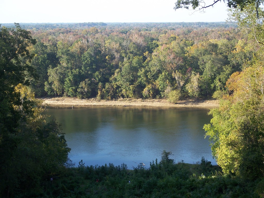 Photo: ebyabe, CC BY-SA 2.0 (via Flickr)
Torreya Challenge Trail
~1h 7m drive
11.9-mile out-and-back hike in Florida with 1,549 ft elevation gain and loss.
 Photo: The Bushranger, CC BY-SA 3.0 (via Wikimedia Commons)
Gf&a
~1h 14m drive
4.80-mile out-and-back trail in Florida with 164 ft gain.
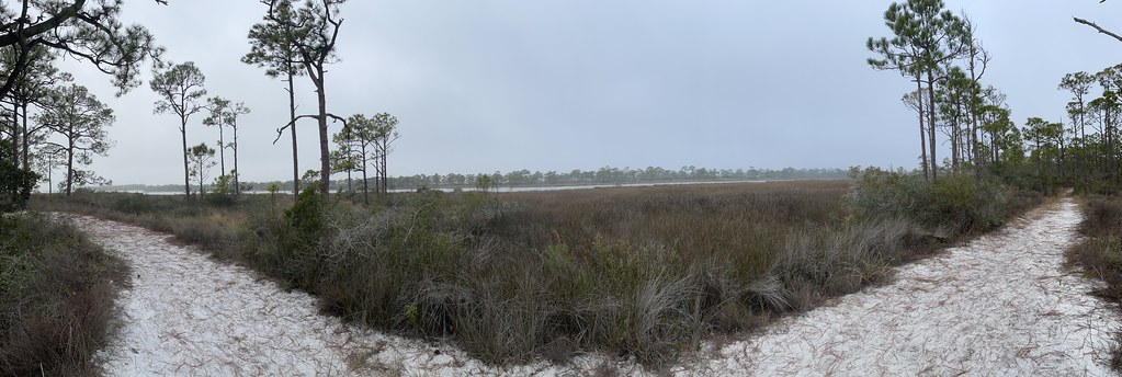 Photo: Dreaming in the deep south, CC BY 2.0 (via Flickr)
East Slough Ada Hikiing Trail
~42 min drive
1.55-mile point-to-point hike in Florida with 84 ft of elevation loss.
HIKE
Fnst - Lake George Section - Florida
~40 min drive
A 98-mile point-to-point Florida National Scenic Trail section through central Florida wilderness.
 Photo: Mike Tilley, CC BY 3.0 (via Wikimedia Commons)
Sally Ward Trail
~1h 17m drive
3.47-mile out-and-back trail in Florida with 199 ft elevation gain.
 Photo: Mike Tilley, CC BY 3.0 (via Wikimedia Commons)
Bayview Scenic Trail
~49 min drive
Bayview Scenic Trail is a 0.61-mile point-to-point trail in Florida with 31 feet of elevation loss.
HIKE
Torreya Trail
~1h 6m drive
6.20-mile loop in Florida with 873 ft elevation gain and loss.
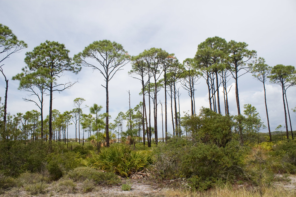 Photo: Numinosity by Gary J Wood, CC BY-SA 2.0 (via Flickr)
Maritime Hammock Trail
~51 min drive
0.46-mile point-to-point trail in Florida with 34 ft elevation loss
HIKE
Apalachicola National Forest Trail
~1h 7m drive
6.46-mile out-and-back hike in Florida's Apalachicola National Forest.

