Wkc Trail
- 1.5 mi
- loop
- 16 ft
- high point
- Loop
- route
- Easy
- difficulty
- Oct–Apr
- best months
Wkc Trail is a short, easy loop in Tillie K. Fowler Regional Park in Jacksonville, Florida, on city-managed land. The route is about 1.5 miles long and sits almost entirely flat, with a high point of 16 feet and a low of 7 feet. The trail is a loop, so it starts and ends at the same place, and it has no elevation gain to speak of. Spring and fall are the most comfortable times to go. Typical averages from a nearby weather station show March highs around 74°F and October highs around 82°F, while summer brings highs near 90°F and rain on about half the days in July and August. The trail is a simple outing that pairs easily with other parts of the park. Tillicum Campground is close by, and the park's other trails and facilities make it easy to extend a visit.
- Nearby · TIMU-FOCA-Hammock Trail · Pumpkin Hill Creek Preserve State Park Trail · TIMU-FOCA Visitor Center Trails
Best time to go · Oct–Apr
Best time to visit Wkc Trail
Best months: October–April. Best months have typical highs of 55–85 °F, lows of 30 °F or warmer (32 °F where the station doesn't record snow), at most one snowy day and no more than 12 wet days.
Jan
66° / 47°
8 wet
Feb
69° / 50°
8 wet
Mar
74° / 55°
8 wet
Apr
81° / 61°
7 wet
May
86° / 69°
8 wet
Jun
90° / 74°
14 wet
Jul
92° / 76°
16 wet
Aug
91° / 76°
15 wet
Sep
88° / 74°
12 wet
Oct
82° / 66°
8 wet
Nov
73° / 56°
7 wet
Dec
68° / 50°
8 wet
Typical high / low (°F) and days with rain or snow, 1991–2020. Measured at Jacksonville Nas, FL, 2.1 mi away at 20 ft. Source: NOAA NCEI U.S. Climate Normals 1991–2020.
Keep exploring — more trails worth the drive
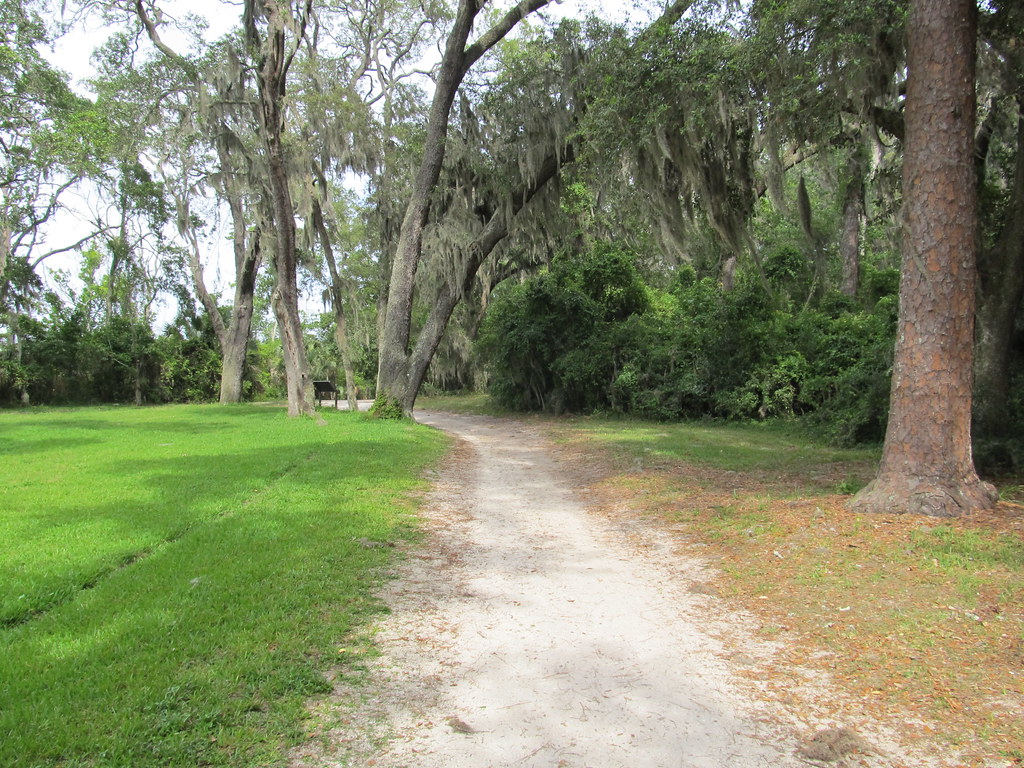 Photo: Ken Lund, CC BY-SA 2.0 (via Flickr)
TIMU-FOCA-Hammock Trail
~28 min drive
0.99-mile loop in Florida with 167 ft elevation gain/loss.
 Photo: KirkOls, CC BY 2.0 (via Flickr)
Pumpkin Hill Creek Preserve State Park Trail
~35 min drive
8.14-mile out-and-back trail in Florida with 195 ft elevation gain and loss.
 Photo: Ken Lund, CC BY-SA 2.0 (via Flickr)
TIMU-FOCA Visitor Center Trails
~28 min drive
0.40-mile out-and-back trail at TIMU-FOCA Visitor Center in Florida.
HIKE
Big Talbot Island State Park Trail
~38 min drive
7.13-mile out-and-back hike in Big Talbot Island State Park, Florida.
 Photo: davidwilson1949, CC BY 2.0 (via Flickr)
Willie Brown Trail
~28 min drive
1.09-mile out-and-back trail in Florida with 73 ft elevation gain.
HIKE
Timucuan Trail System
~35 min drive
6.58-mile out-and-back trail in Florida with 243 ft elevation gain/loss
 Photo: nickytheblade, CC BY 2.0 (via Flickr)
Spanish Pond Trail
~28 min drive
0.53-mile out-and-back hike in Florida with 26 ft elevation gain.
Photo: nickytheblade, CC BY 2.0 (via Flickr)Timucuan Trail
~29 min drive
1.24-mile out-and-back hike in Florida with 211 ft gain.
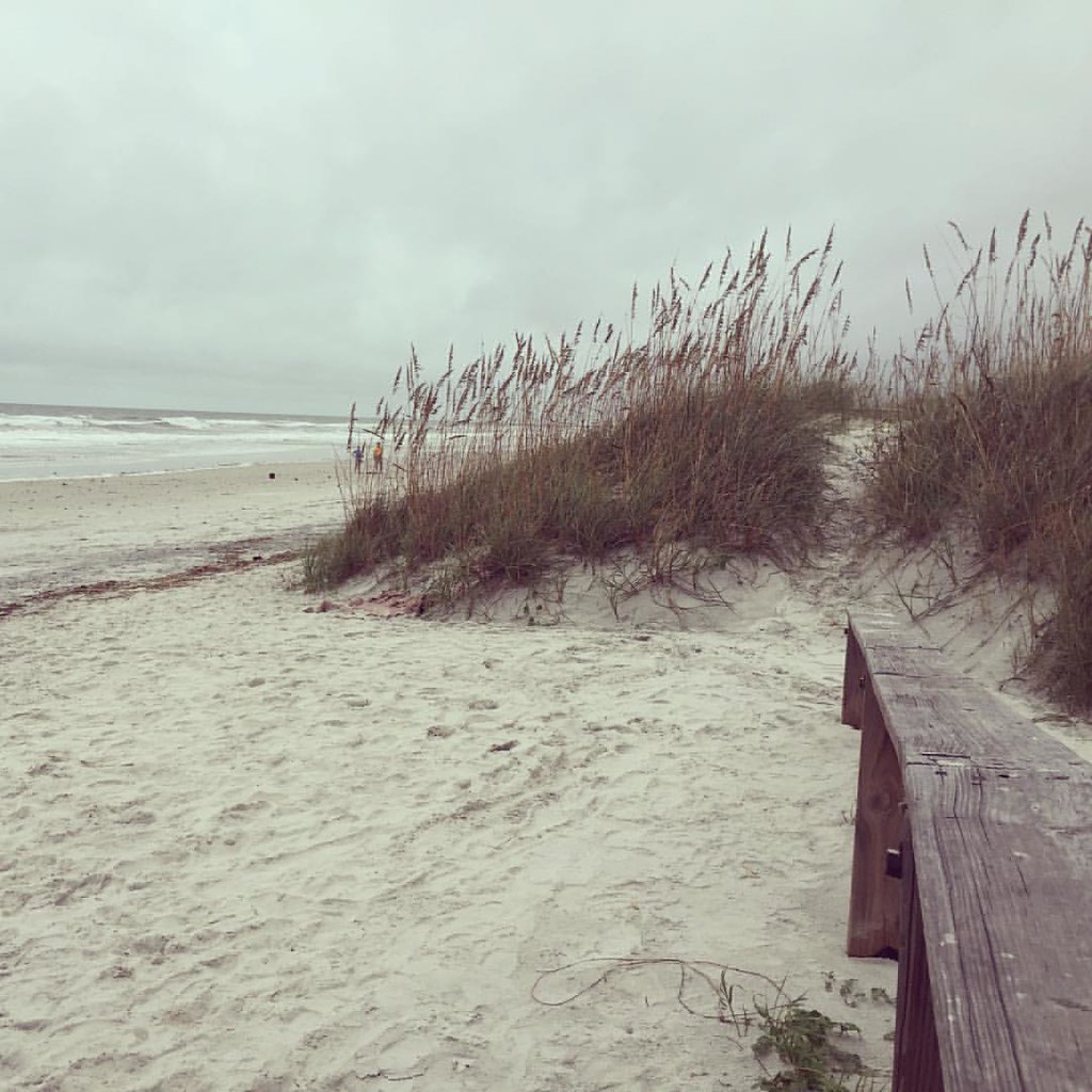 Photo: Hyokano, CC BY-SA 2.0 (via Flickr)
Dutton Island Park and Preserve Trail
~31 min drive
1.15-mile out-and-back trail in Florida with 144 ft gain and 181 ft loss.
 Photo: gary_leavens, CC BY-SA 2.0 (via Flickr)
Lae Loop Trail
~31 min drive
1.86-mile loop trail in Florida with 156 ft gain and 75 ft max elevation.

Map and trail data © OpenStreetMap contributors
