Timucuan Trail System
- 3.7 mi
- round trip
- 243 ft
- climb
- 56 ft
- high point
- Out and back
- route
- Oct–May
- best months
Is Timucuan Trail System open right now?
No closures listed
The National Park Service lists no closures for Timucuan Ecological and Historic Preserve.
As of · Source: NPS · Timucuan Ecological and Historic Preserve. Agencies don't list every closure — check before you go.
The Timucuan Trail System is a 7.3-mile out-and-back hike in Florida's Timucuan Ecological and Historic Preserve, managed by the National Park Service. The route is rated moderate, with a total elevation gain of 243 feet and a total loss of 243 feet over the round trip. The trail's flat profile makes it a steady walk rather than a climb, and the steepest stretch comes at about 1.5 miles in, with a grade of about 3 percent. Spring and fall are the most comfortable times to go. Typical averages from a nearby weather station show April highs around 77°F and October highs around 80°F, while July and August average about 90°F with the most wet days of the year. The hike takes about 2.5 hours. Several other trails sit within a couple of miles, including Deer Run Trail at 1.2 miles, Cedar Point Preserve Trail at 1.4 miles and Turkey Trot Trail at 1.5 miles. Big Talbot Island State Park Trail is about 1.8 miles away.
- Deer Run TrailHiking1.2 mi
- Cedar Point Preserve TrailHiking1.4 mi
- Turkey Trot TrailHiking1.5 mi
- Big Talbot Island State Park TrailHiking1.8 mi
- Bild Talbot Island State Park Hiking TrailHiking1.9 mi
 Pumpkin Hill Creek Preserve State Park TrailHikingPhoto: KirkOls, CC BY 2.0 (via Flickr)2 mi
- Main TrailHikingPhoto: KirkOls, CC BY 2.0 (via Flickr)2 mi
- Fort George Island AreaHiking2.1 mi
Source: Roamze catalog (indexable pages within 10 miles, PostGIS distance)
- Pumpkin Hill Creek Preserve State Park TrailHiking · ~3 min drivePhoto: KirkOls, CC BY 2.0 (via Flickr)
- Main TrailHiking · ~3 min drivePhoto: KirkOls, CC BY 2.0 (via Flickr)
- Big Talbot Island State Park TrailHiking · ~3 min drive
 Hammock TrailHiking · ~6 min drivePhoto: Rob Bixby, CC BY 2.0 (via Flickr)
- River Glen SidewalkHiking · ~27 min drive
- Piney Loop TrailHiking · ~6 min drivePhoto: Rob Bixby, CC BY 2.0 (via Flickr)
- Flatwoods TrailHiking · ~7 min drivePhoto: Rob Bixby, CC BY 2.0 (via Flickr)
 TIMU-FOCA Visitor Center TrailsHiking · ~8 min drivePhoto: Ken Lund, CC BY-SA 2.0 (via Flickr)
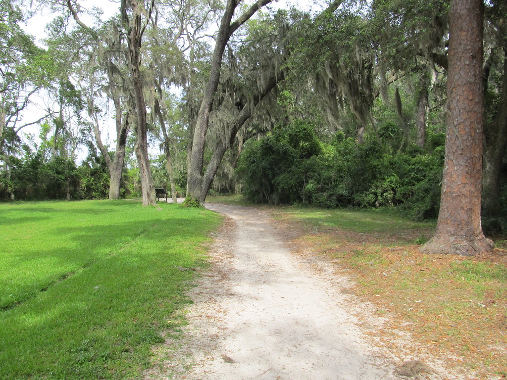 TIMU-FOCA-Hammock TrailHiking · ~8 min drivePhoto: Ken Lund, CC BY-SA 2.0 (via Flickr)
 Timucuan TrailHiking · ~8 min drivePhoto: nickytheblade, CC BY 2.0 (via Flickr)
Best time to visit Timucuan Trail System
Best months: October–May. Best months have typical highs of 55–85 °F, lows of 30 °F or warmer (32 °F where the station doesn't record snow), at most one snowy day and no more than 12 wet days.
Jan
64° / 47°
9 wet
Feb
66° / 49°
8 wet
Mar
71° / 54°
9 wet
Apr
77° / 60°
7 wet
May
83° / 68°
8 wet
Jun
88° / 73°
12 wet
Jul
90° / 75°
13 wet
Aug
89° / 75°
14 wet
Sep
86° / 73°
12 wet
Oct
80° / 66°
10 wet
Nov
72° / 57°
8 wet
Dec
66° / 50°
9 wet
Typical high / low (°F) and days with rain or snow, 1991–2020. Measured at Mayport Pilot Stn, FL, 4.1 mi away at 16 ft. This station doesn't record snowfall. Source: NOAA NCEI U.S. Climate Normals 1991–2020.
Map and trail data © OpenStreetMap contributors
