Wiregrass-Genetian
- 0.9 mi
- loop
- 18 ft
- high point
- Loop
- route
- Easy
- difficulty
- Oct–May
- best months
Is Wiregrass-Genetian open right now?
Closure in the area
There's a closure order in National Forests in Florida. It doesn't name Wiregrass-Genetian, so check the source for the area it covers.
Travel Management & Off-Highway Vehicle (OHV) Program
Agency closure covering National Forests in Florida · USFS · National Forests in Florida
Fire Restrictions in Effect for Ocala National Forest
Agency alert covering National Forests in Florida · USFS · National Forests in Florida
As of · Source: USFS · National Forests in Florida. Agencies don't list every closure — check before you go.
Wiregrass-Genetian is an easy loop hike in the Apalachicola Ranger District of the National Forests in Florida, about 0.9 miles long. The trail is flat, with a high point of 18 feet and a low of 12 feet. A short stretch at 0.14 miles in reaches a 7% grade, the steepest part of the route. Spring and fall are the most comfortable times to go. Typical averages from a nearby weather station show April highs around 76°F and October highs around 81°F, while July and August average highs near 90°F and bring the most wet days of the year. The trail is on natural surface and is not accessible. Bikes and horses are not allowed. Hickory Landing Campground sits about 3.3 miles away, and Wright Lake Campground is about 4.1 miles off. Wright Lake is a hike about 4.2 miles away, and paddlers can find the East River about 6.2 miles from the trail.
Best time to go · Oct–May
Best time to visit Wiregrass-Genetian
Best months: October–May. Best months have typical highs of 55–85 °F, lows of 30 °F or warmer (32 °F where the station doesn't record snow), at most one snowy day and no more than 12 wet days.
Jan
64° / 44°
10 wet
Feb
66° / 47°
9 wet
Mar
71° / 53°
8 wet
Apr
76° / 58°
7 wet
May
84° / 66°
7 wet
Jun
89° / 73°
11 wet
Jul
90° / 75°
15 wet
Aug
89° / 75°
15 wet
Sep
87° / 72°
11 wet
Oct
81° / 62°
8 wet
Nov
73° / 52°
9 wet
Dec
66° / 47°
10 wet
Typical high / low (°F) and days with rain or snow, 1991–2020. Measured at Apalachicola Ap, FL, 14.3 mi away at 19 ft. This station doesn't record snowfall. Source: NOAA NCEI U.S. Climate Normals 1991–2020.
Keep exploring — more trails worth the drive
 Photo: Martin Haeusler, CC BY-SA 3.0 (via Wikimedia Commons)
Gap Point Trail
~37 min drive
1.81-mile point-to-point trail in Florida with 52 ft elevation loss
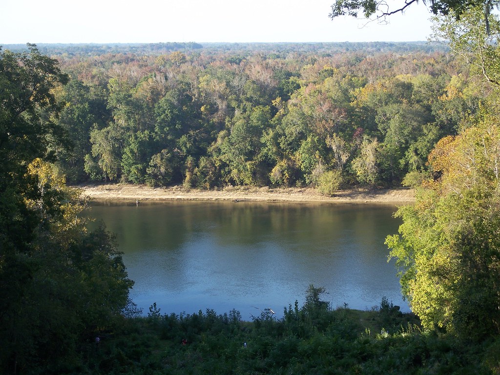 Photo: ebyabe, CC BY-SA 2.0 (via Flickr)
Torreya Challenge Trail
~1h 15m drive
11.9-mile out-and-back hike in Florida with 1,549 ft elevation gain and loss.
 Photo: The Bushranger, CC BY-SA 3.0 (via Wikimedia Commons)
Gf&a
~1h 19m drive
4.80-mile out-and-back trail in Florida with 164 ft gain.
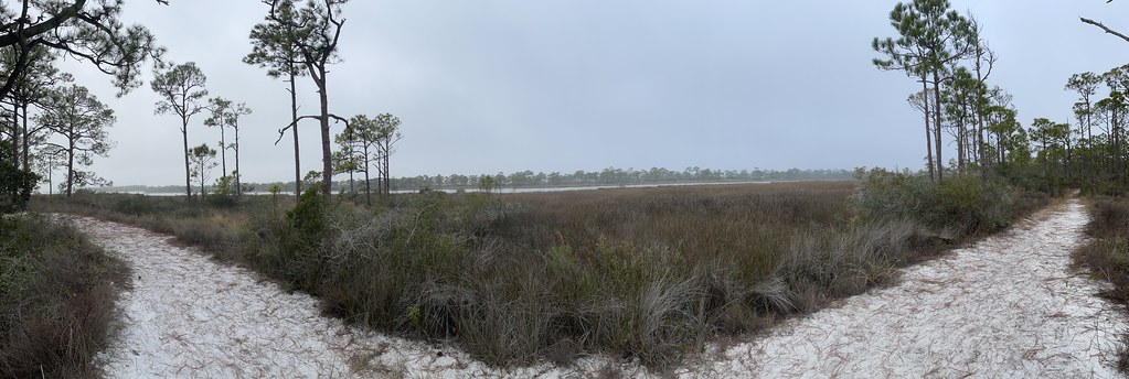 Photo: Dreaming in the deep south, CC BY 2.0 (via Flickr)
East Slough Ada Hikiing Trail
~37 min drive
1.55-mile point-to-point hike in Florida with 84 ft of elevation loss.
HIKE
Fnst - Lake George Section - Florida
~45 min drive
A 98-mile point-to-point Florida National Scenic Trail section through central Florida wilderness.
 Photo: Mike Tilley, CC BY 3.0 (via Wikimedia Commons)
Sally Ward Trail
~1h 21m drive
3.47-mile out-and-back trail in Florida with 199 ft elevation gain.
 Photo: Mike Tilley, CC BY 3.0 (via Wikimedia Commons)
Bayview Scenic Trail
~45 min drive
Bayview Scenic Trail is a 0.61-mile point-to-point trail in Florida with 31 feet of elevation loss.
HIKE
Apalachicola National Forest Trail
~1h 13m drive
6.46-mile out-and-back hike in Florida's Apalachicola National Forest.
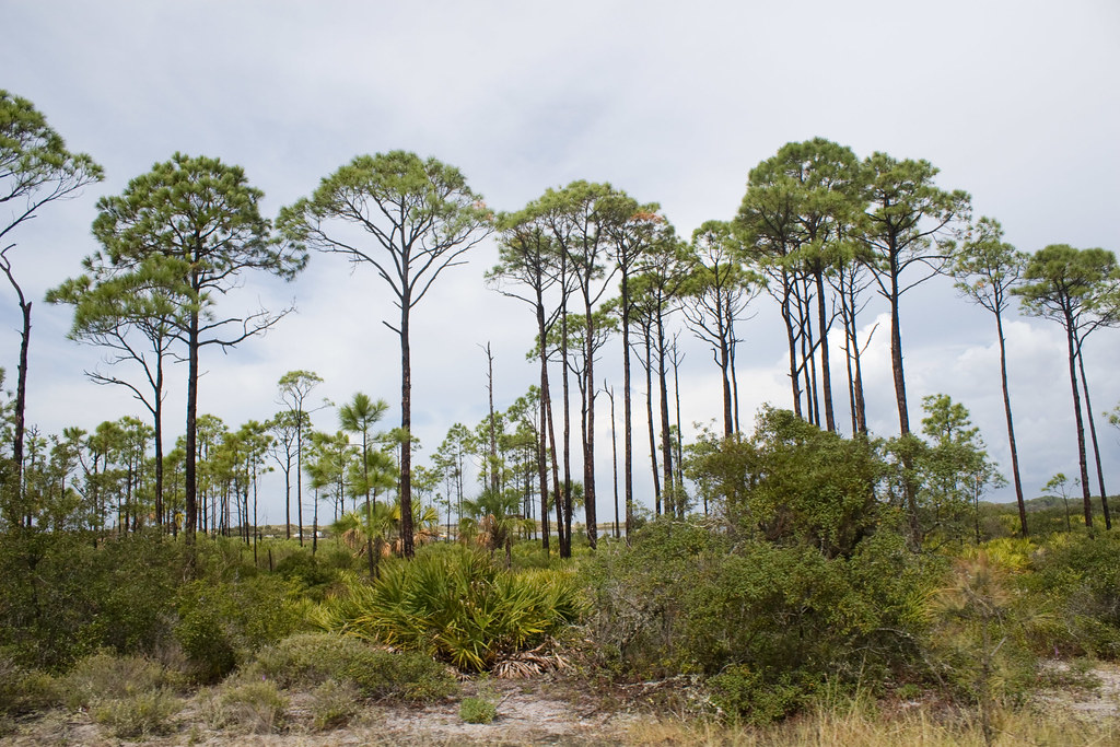 Photo: Numinosity by Gary J Wood, CC BY-SA 2.0 (via Flickr)
Maritime Hammock Trail
~46 min drive
0.46-mile point-to-point trail in Florida with 34 ft elevation loss
HIKE
Torreya Trail
~1h 13m drive
6.20-mile loop in Florida with 873 ft elevation gain and loss.

