William S Boylston Nature Trail
 Photo: Will Pittenger, CC BY-SA 3.0 (via Wikimedia Commons)
- 0.9 mi
- loop
- 16 ft
- high point
- Loop
- route
- Easy
- difficulty
- Nov–Apr
- best months
William S Boylston Nature Trail is a short, easy loop in Myakka River State Park in Florida, managed by State Park and Recreation. The trail is 0.88 miles long and sits at nearly sea level, with a high point of 16 feet and a low of 13 feet. It is a flat route with no elevation gain, and the steepest stretch comes at about 0.75 miles in, with a grade of about 2 percent. The most comfortable months for a visit are typically the cooler, drier stretch from November through March. Typical averages from a nearby weather station show highs around 74 to 81°F and only six to seven wet days a month, while summer brings highs near 92°F and rain on 15 to 18 days a month. The trail makes a quick outing, estimated to take about half an hour. Bikes are not allowed on it. Myakka State Park Boulder, a climbing area, is about 0.8 miles away, and the Bee Island Crosstrail and Myakka Hiking Trail are both within about 4.5 miles.
Best time to go · Nov–Apr
Best time to visit William S Boylston Nature Trail
Best months: November–April. Best months have typical highs of 55–85 °F, lows of 30 °F or warmer (32 °F where the station doesn't record snow), at most one snowy day and no more than 12 wet days.
Jan
74° / 50°
7 wet
Feb
78° / 52°
6 wet
Mar
81° / 55°
6 wet
Apr
85° / 60°
5 wet
May
90° / 65°
8 wet
Jun
92° / 71°
15 wet
Jul
92° / 73°
18 wet
Aug
93° / 74°
18 wet
Sep
91° / 72°
15 wet
Oct
86° / 66°
9 wet
Nov
81° / 57°
6 wet
Dec
77° / 53°
7 wet
Typical high / low (°F) and days with rain or snow, 1991–2020. Measured at Myakka Rvr Sp, FL, 0.9 mi away at 19 ft. Source: NOAA NCEI U.S. Climate Normals 1991–2020.
Keep exploring — more trails worth the drive
 Photo: Vironevaeh, CC BY-SA 2.0 (via Flickr)
Don Pedro Island State Park
~46 min drive
0.80-mile out-and-back trail in Don Pedro Island State Park, Florida
 Photo: Always Ascetic, Public Domain Dedication (CC0) (via Flickr)
Golden Aster Preserve
~1h 6m drive
6.27-mile out-and-back trail in Florida with 145 ft elevation gain.
HIKE
Alafia Rver State Park Trail
~1h 5m drive
23.42-mile out-and-back trail in Alafia Rver State Park, Florida.
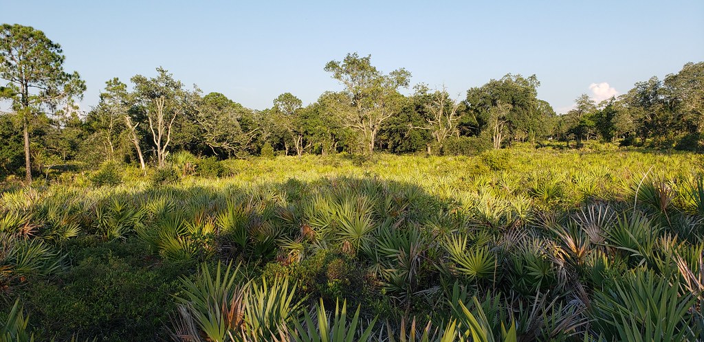 Photo: Always Ascetic, Public Domain Dedication (CC0) (via Flickr)
Little Manatee River State Park Trail
~49 min drive
21.29-mile out-and-back trail along the Little Manatee River in Florida.
 Photo: ebyabe, CC BY-SA 2.0 (via Flickr)
Paynes Creek Historic State Park Trail
~1h 7m drive
5.66-mile out-and-back trail in Paynes Creek Historic State Park, Florida.
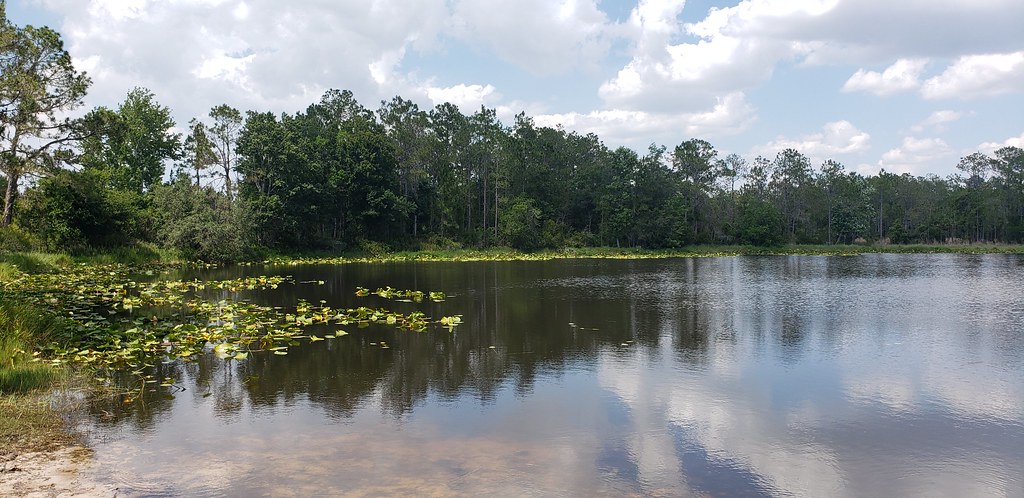 Photo: Always Ascetic, Public Domain Dedication (CC0) (via Flickr)
Powerline Road
~51 min drive
0.53-mile out-and-back trail in Florida's State Park and Recreation system.
 Photo: zoso8203, Public Domain Mark (via Flickr)
Skyway Trail
~1h 9m drive
6.66-mile out-and-back trail in Florida with 203 ft elevation gain/loss.
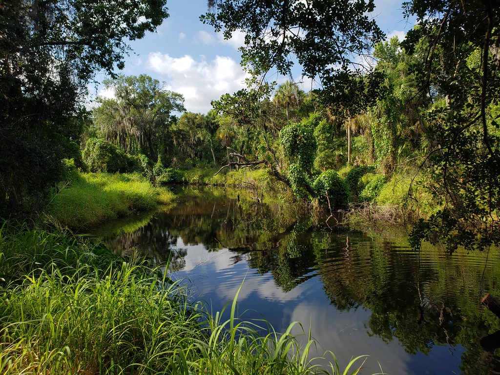 Photo: heytampa, CC BY 2.0 (via Flickr)
Tortoise Trail
~51 min drive
0.62-mile loop in Florida with 23 ft gain.
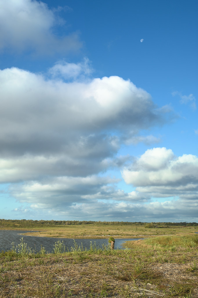 Photo: tehbieber, CC BY-SA 2.0 (via Flickr)
Eagle Loop
~49 min drive
3.82-mile out-and-back trail in Florida with 37 ft elevation gain.
Photo: heytampa, CC BY 2.0 (via Flickr)Palmetto Pass
~51 min drive
0.57-mile loop in Florida with 46 ft of elevation gain.


Map and trail data © OpenStreetMap contributors
