West Trail
- 1.8 mi
- one way
- 71 ft
- climb
- 130 ft
- high point
- Point to point
- route
- Oct–Apr
- best months
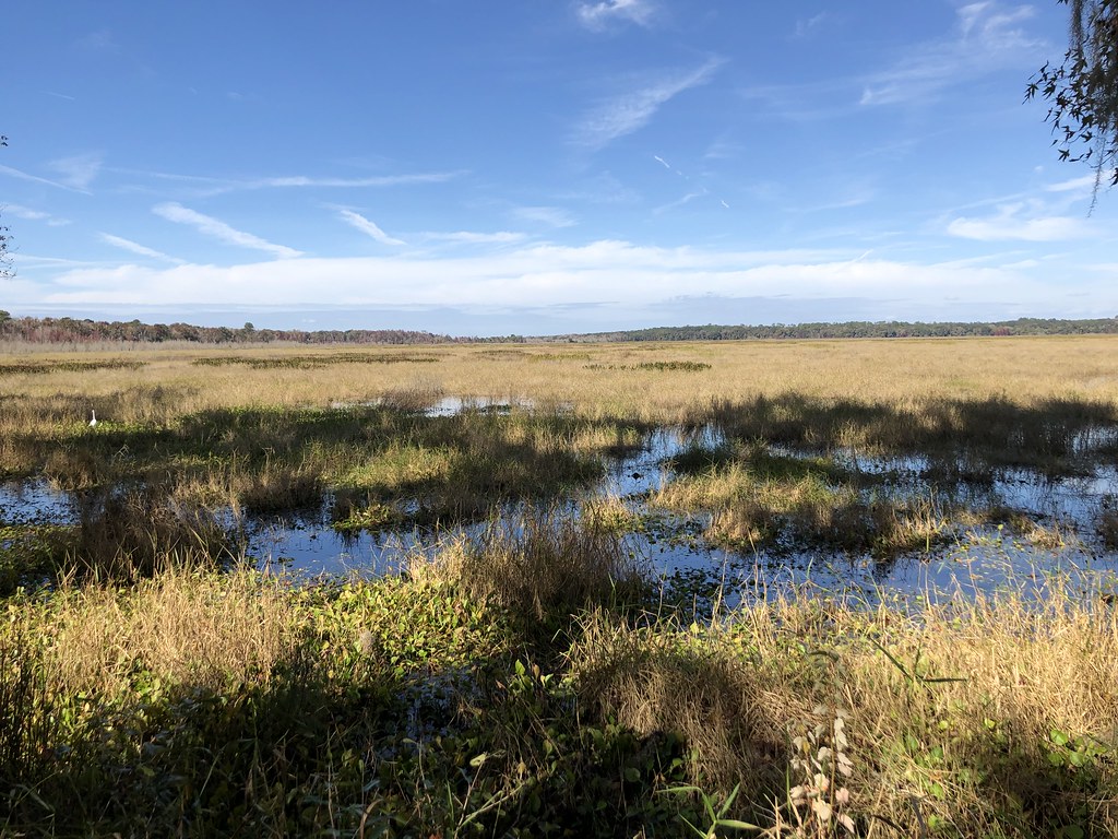
West Trail is an easy hike in Florida, about 1.8 miles long, that starts and ends at roughly the same elevation, with a high point of 130 feet. The trail runs through Sweetwater Preserve on county land, and it is a point-to-point route rather than a loop, so plan on beginning and ending at the trail's starting point. The route is short and gentle, with an elevation gain of about 71 feet and a loss of about 122 feet. The steepest stretch comes at about 1.3 miles, where the grade reaches 6 percent, but it stays well within easy territory for most hikers. Winter and early spring are the most comfortable time to go. Typical averages from a nearby weather station in Gainesville put January highs around 67°F with lows near 43°F, and March highs near 76°F. Summer is hotter and wetter, with highs around 91°F and about 16 wet days a month in July and August. The trail is part of a network of short walks in the area. East Trail and the Gainesville Hawthorne Downtown Connector are both about 0.7 miles away, and the Gainesville Depot Avenue Trail is about 1.2 miles off. Climbers can find the University of Florida climbing area about 2.1 miles away.
- East TrailHiking0.7 mi
- Gainesville Hawthorne Downtown ConnectorHiking0.7 mi
- Gainesville Depot Avenue TrailHiking1.2 mi
- Archer Road TrailHiking1.4 mi
- University of FloridaRock climbing2.1 mi
- Lexington CrossingRock climbing2.7 mi
- Prairie CreekCanoeing4.6 mi
- Memory BoulderRock climbing5.9 mi
Source: Roamze catalog (indexable pages within 10 miles, PostGIS distance)
 Morningside Nature Center TrailHiking · ~5 min drivePhoto: Alex Abair, CC BY 4.0 (via Wikimedia Commons)
 Bolen Bluff TrailHiking · ~9 min drivePhoto: gary_leavens, CC BY-SA 2.0 (via Flickr)
 Paynes Prairie Preserve State Park TrailHiking · ~12 min drivePhoto: Rob Bixby, CC BY 2.0 (via Flickr)
 Alfred a Ring Park TrailHiking · ~5 min drivePhoto: clembore — CC BY-SA 2.0 (via Flickr)
 Hammock LoopHiking · ~15 min drivePhoto: clembore, CC BY-SA 2.0 (via Flickr)
- Gainesville-Hawthorne State TrailHiking · ~10 min drive
 Springtree Park TrailHiking · ~6 min drivePhoto: clembore, CC BY-SA 2.0 (via Flickr)
- Gainesville Depot Avenue TrailHiking · ~2 min drive
- San Felasco Hammock Preserve State Park TrailHiking · ~17 min drive
- Jackson's Gap TrailHiking · ~11 min drivePhoto: Rob Bixby, CC BY 2.0 (via Flickr)
Best time to visit West Trail
Best months: October–April. Best months have typical highs of 55–85 °F, lows of 30 °F or warmer (32 °F where the station doesn't record snow), at most one snowy day and no more than 12 wet days.
Jan
67° / 43°
8 wet
Feb
71° / 46°
7 wet
Mar
76° / 50°
7 wet
Apr
81° / 56°
6 wet
May
87° / 63°
8 wet
Jun
90° / 70°
14 wet
Jul
91° / 72°
16 wet
Aug
91° / 72°
16 wet
Sep
88° / 69°
11 wet
Oct
82° / 61°
7 wet
Nov
75° / 51°
6 wet
Dec
69° / 45°
7 wet
Typical high / low (°F) and days with rain or snow, 1991–2020. Measured at Gainesville Rgnl Ap, FL, 5.1 mi away at 123 ft. Source: NOAA NCEI U.S. Climate Normals 1991–2020.

Map and trail data © OpenStreetMap contributors
