Jackson's Gap Trail
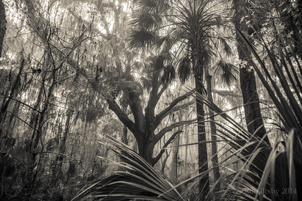 Photo: Rob Bixby, CC BY 2.0 (via Flickr)
- 1.1 mi
- round trip
- 116 ft
- climb
- 100 ft
- high point
- Out and back
- route
- Oct–Apr
- best months
Jackson's Gap Trail is a short, easy out-and-back hike in Paynes Prairie Preserve State Park in Florida, managed by State Park and Recreation. The trail is about 1.08 miles long, and the round trip covers roughly 2.2 miles with a total elevation gain of 116 feet, peaking at 100 feet. The climb is gentle, with the steepest stretch at about 0.21 miles in, rising about 4 percent. The most comfortable months for a visit are typically spring and fall. Typical averages from a nearby weather station in Gainesville show March highs around 76°F and October highs around 82°F, while summer brings highs near 91°F and the most wet days of the year. The trail sits close to several other routes. Chacala Trail is about 0.1 mile away and Paynes Prairie Preserve State Park Trail about 0.2 mile. Cone's Dike Trail is roughly 0.8 mile off, and Bolen Bluff Trail is about 3.1 miles away.
Best time to go · Oct–Apr
Best time to visit Jackson's Gap Trail
Best months: October–April. Best months have typical highs of 55–85 °F, lows of 30 °F or warmer (32 °F where the station doesn't record snow), at most one snowy day and no more than 12 wet days.
Jan
67° / 43°
8 wet
Feb
71° / 46°
7 wet
Mar
76° / 50°
7 wet
Apr
81° / 56°
6 wet
May
87° / 63°
8 wet
Jun
90° / 70°
14 wet
Jul
91° / 72°
16 wet
Aug
91° / 72°
16 wet
Sep
88° / 69°
11 wet
Oct
82° / 61°
7 wet
Nov
75° / 51°
6 wet
Dec
69° / 45°
7 wet
Typical high / low (°F) and days with rain or snow, 1991–2020. Measured at Gainesville Rgnl Ap, FL, 10.7 mi away at 123 ft. Source: NOAA NCEI U.S. Climate Normals 1991–2020.
Keep exploring — more trails worth the drive
Photo: Rob Bixby, CC BY 2.0 (via Flickr)Paynes Prairie Preserve State Park Trail
Next door
15.70-mile out-and-back trail in Florida with 364 ft gain and 650 ft loss.
 Photo: gary_leavens, CC BY-SA 2.0 (via Flickr)
Bolen Bluff Trail
~5 min drive
Easy 2-mile out-and-back trail through Florida's natural landscape.
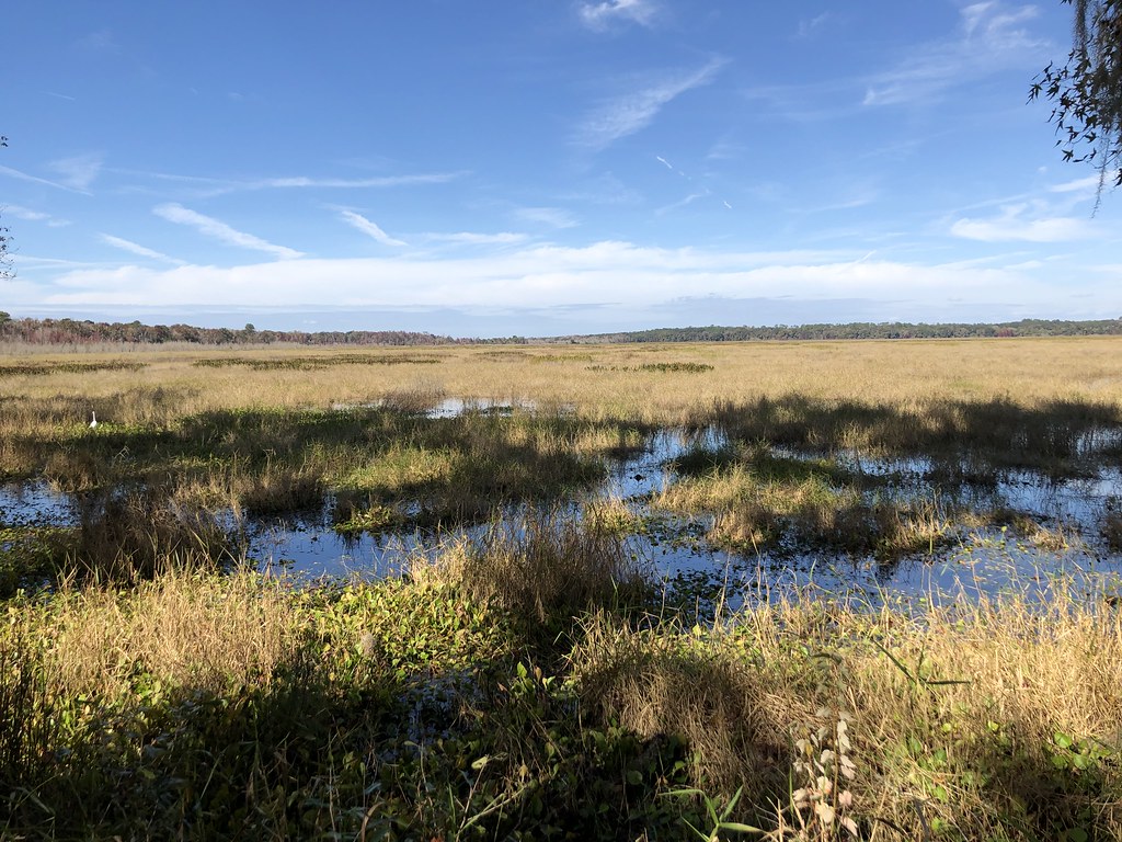 Photo: clembore, CC BY-SA 2.0 (via Flickr)
Still Branch Crossing
~6 min drive
Easy 1.95-mile point-to-point trail featuring a natural water crossing in Florida.
HIKE
Gainesville-Hawthorne State Trail
~9 min drive
15.95-mile out-and-back trail in Florida with 487 ft elevation gain
Photo: clembore, CC BY-SA 2.0 (via Flickr)Hammock Loop
~6 min drive
Scenic point-to-point trail through Florida hammock forest.
 Photo: Alex Abair, CC BY 4.0 (via Wikimedia Commons)
Morningside Nature Center Trail
~14 min drive
2.91-mile out-and-back trail at Morningside Nature Center in Florida.
HIKE
Archer Braid Trail
~24 min drive
14.46-mile out-and-back trail in Florida with 418 ft gain
HIKE
Cone's Dike Trail
~1 min drive
3.98-mile out-and-back hike in Florida with 80 ft gain.
 Photo: clembore — CC BY-SA 2.0 (via Flickr)
Alfred a Ring Park Trail
~17 min drive
1.25-mile out-and-back trail in Florida with 189 ft elevation gain.
HIKE
San Felasco Hammock Preserve State Park Trail
~27 min drive
15.89-mile out-and-back trail in San Felasco Hammock Preserve State Park, Florida

Map and trail data © OpenStreetMap contributors
