Puc Puggy Campground
 Photo: Michael Rivera, CC BY-SA 4.0 (via Wikimedia Commons)
- Oct–Apr
- best months
Clear today
Weather is good · OpenWeather · checked 9 min ago
- At 83 ft
- Paynes Prairie Preserve State Park
Puc Puggy Campground is a campground in Florida at about 83 feet. It is managed by the state park agency.
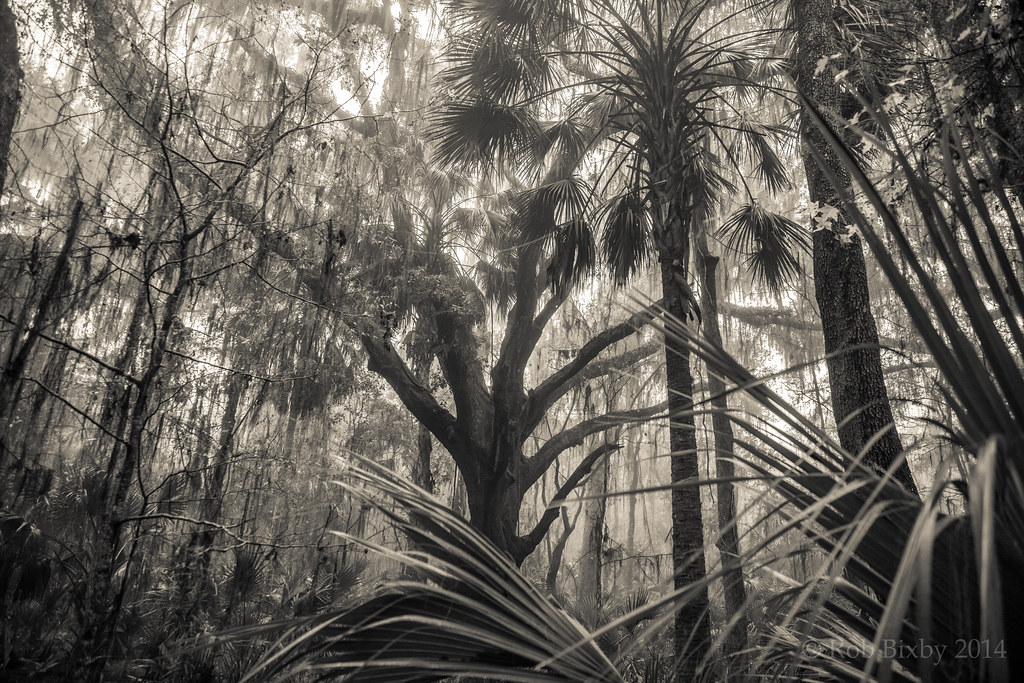 Chacala TrailHikingPhoto: Rob Bixby, CC BY 2.0 (via Flickr)0.9 mi
- Jackson's Gap TrailHikingPhoto: Rob Bixby, CC BY 2.0 (via Flickr)0.9 mi
- Paynes Prairie Preserve State Park TrailHikingPhoto: Rob Bixby, CC BY 2.0 (via Flickr)1.1 mi
 Paynes Prairie Preserve State ParkState parkPhoto: Ebyabe, CC BY-SA 3.0 (via Wikimedia Commons)3.2 mi
- Prairie CreekCanoeing5.8 mi
- Lexington CrossingRock climbing7.4 mi
- Solar Park PondState park7.9 mi
- University of FloridaRock climbing9 mi
Source: Roamze catalog (indexable pages within 10 miles, PostGIS distance)
 Citra RV ParkCamping · ~24 min drivePhoto: jofwooster, CC BY-SA 3.0 (via Wikimedia Commons)
 Keystone Heights RV ResortCamping · ~40 min drivePhoto: The Bushranger, CC BY-SA 4.0 (via Wikimedia Commons)
 Tent CampingCamping · ~49 min drivePhoto: LittleT889, CC BY-SA 4.0 (via Wikimedia Commons)
 Rainbow Springs CampgroundCamping · ~53 min drivePhoto: Florida Memory, Public domain (via Wikimedia Commons)
- Sportsman's Cove CampgroundCamping · ~12 min drive
- Southern HammockCamping · ~17 min drive
- Williston CrossingsCamping · ~21 min drive
- Camp DavisCamping · ~35 min drive
- Fort Hart TreehousesCamping · ~35 min drive
- Campsite 7Camping · ~35 min drive
Best time to visit Puc Puggy Campground
Best months: October–April. Best months have typical highs of 55–85 °F, lows of 30 °F or warmer (32 °F where the station doesn't record snow), at most one snowy day and no more than 12 wet days.
Jan
67° / 43°
8 wet
Feb
71° / 46°
7 wet
Mar
76° / 50°
7 wet
Apr
81° / 56°
6 wet
May
87° / 63°
8 wet
Jun
90° / 70°
14 wet
Jul
91° / 72°
16 wet
Aug
91° / 72°
16 wet
Sep
88° / 69°
11 wet
Oct
82° / 61°
7 wet
Nov
75° / 51°
6 wet
Dec
69° / 45°
7 wet
Typical high / low (°F) and days with rain or snow, 1991–2020. Measured at Gainesville Rgnl Ap, FL, 11.4 mi away at 123 ft. Source: NOAA NCEI U.S. Climate Normals 1991–2020.
Map and trail data © OpenStreetMap contributors
