Tomoka State Park Trail
 Photo: Bahadorjn, CC BY 2.0 (via Flickr)
- 0.9 mi
- round trip
- 99 ft
- climb
- 14 ft
- high point
- Out and back
- route
- Oct–May
- best months
Tomoka State Park Trail is a short out-and-back hike in Florida covering 0.87 miles with 93 feet of elevation gain. The trail follows a straightforward path through the park's landscape.
Local outfitters
Not on Roamze yet. Their page has how to reach them.
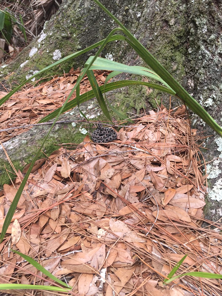 Bulow Plantation Ruins Historic State Park TrailHiking · ~12 min drivePhoto: zappowbang, CC BY-SA 2.0 (via Flickr)
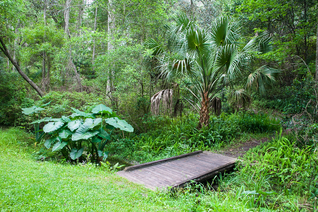 Ravine Gardens State Park TrailHiking · ~1h 7m drivePhoto: Rob Bixby, CC BY 2.0 (via Flickr)
- Graham Swamp Conservation Area TrailHiking · ~21 min drive
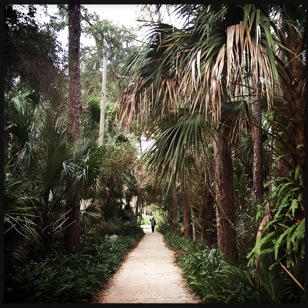 Washington Oaks Gardens State Park TrailHiking · ~36 min drivePhoto: CaptMikey9, CC BY 2.0 (via Flickr)
- Lake George Conservation Area TrailHiking · ~48 min drive
- Colbert Lane Bike PathHiking · ~28 min drive
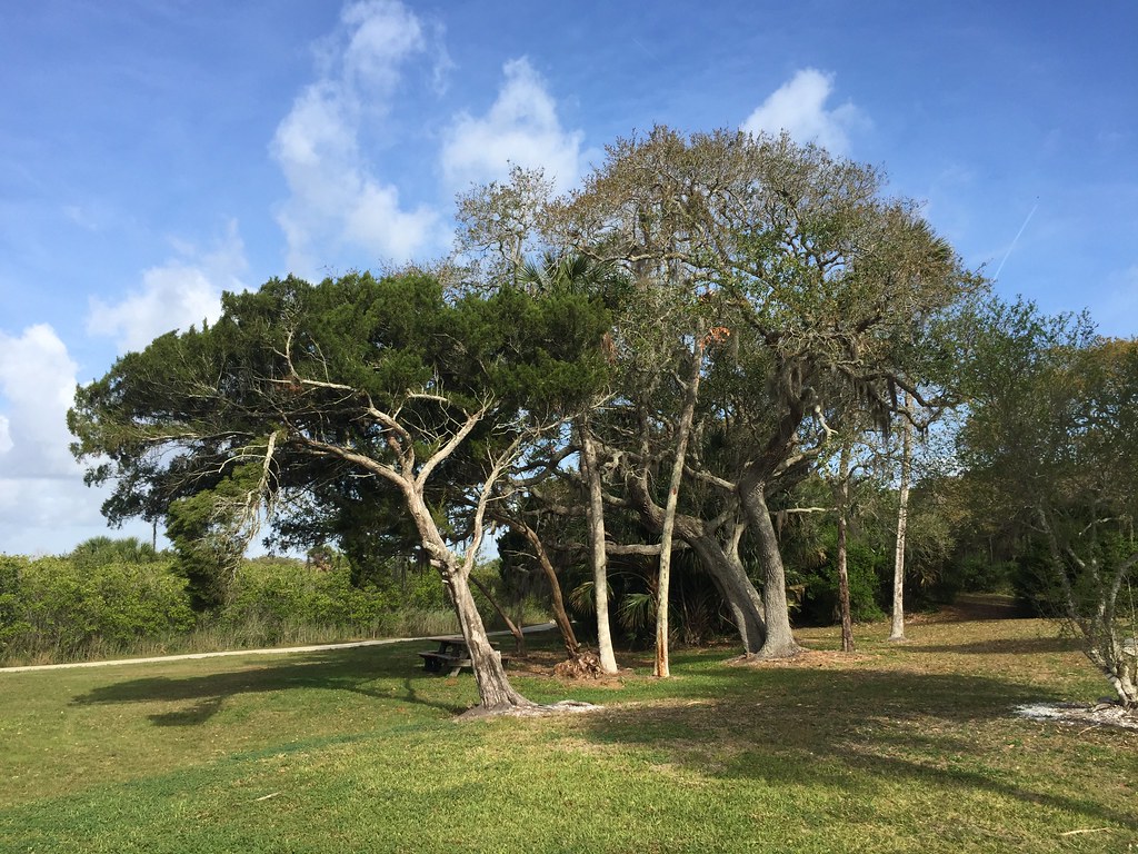 SR Seminole Rest TrailHiking · ~1h 2m drivePhoto: clembore, CC BY-SA 2.0 (via Flickr)
- Paisley Woods Mtn BikeHiking · ~1h 4m drive
- Longleaf Pine Preserve Blue TrailHiking · ~34 min drive
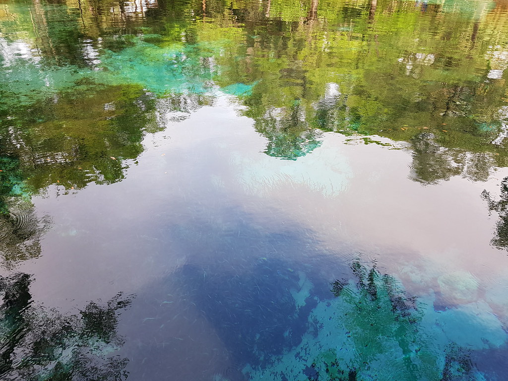 Juniper Springs Nature TrailHiking · ~1h 7m drivePhoto: Guillaume Capron, CC BY-SA 2.0 (via Flickr)
Best time to visit Tomoka State Park Trail
Best months: October–May. Best months have typical highs of 55–85 °F, lows of 30 °F or warmer (32 °F where the station doesn't record snow), at most one snowy day and no more than 12 wet days.
Jan
69° / 49°
8 wet
Feb
70° / 52°
7 wet
Mar
74° / 57°
7 wet
Apr
79° / 62°
6 wet
May
84° / 69°
7 wet
Jun
88° / 73°
12 wet
Jul
89° / 75°
14 wet
Aug
89° / 76°
14 wet
Sep
87° / 74°
13 wet
Oct
82° / 68°
10 wet
Nov
76° / 60°
8 wet
Dec
71° / 53°
8 wet
Typical high / low (°F) and days with rain or snow, 1991–2020. Measured at Daytona Beach, FL, 11.2 mi away at 29 ft. This station doesn't record snowfall. Source: NOAA NCEI U.S. Climate Normals 1991–2020.

