Bulow Plantation Ruins Historic State Park Trail
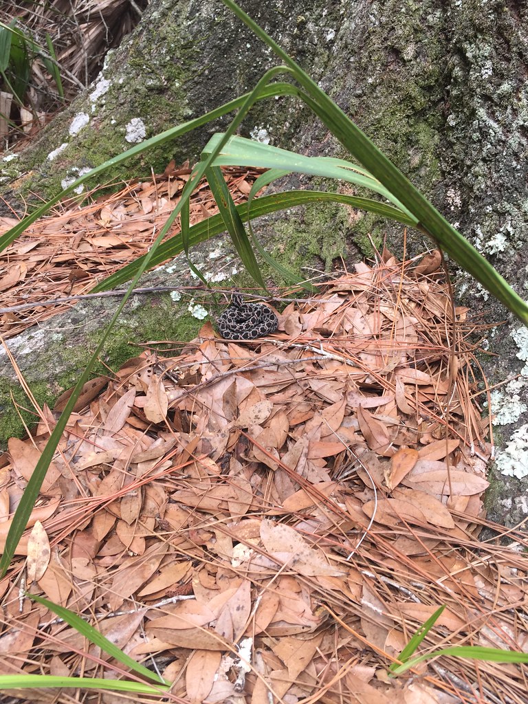 Photo: zappowbang, CC BY-SA 2.0 (via Flickr)
- 0.4 mi
- round trip
- 47 ft
- climb
- 8 ft
- high point
- Out and back
- route
- Oct–May
- best months
Bulow Plantation Ruins Historic State Park Trail is a short out-and-back trail in Florida's Bulow Plantation Ruins Historic State Park. The 0.40-mile route features 23 feet of elevation gain and 47 feet of elevation loss.
Local outfitters
Not on Roamze yet. Their page has how to reach them.
 Tomoka State Park TrailHiking · ~12 min drivePhoto: Bahadorjn, CC BY 2.0 (via Flickr)
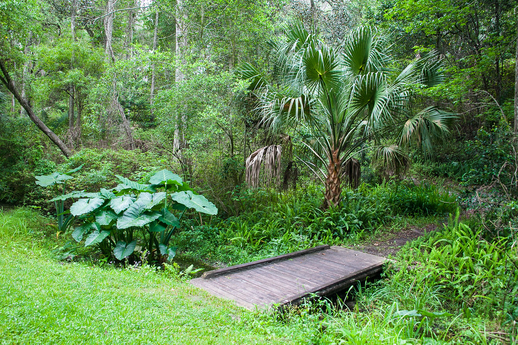 Ravine Gardens State Park TrailHiking · ~57 min drivePhoto: Rob Bixby, CC BY 2.0 (via Flickr)
- Graham Swamp Conservation Area TrailHiking · ~9 min drive
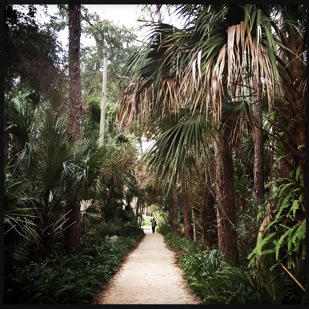 Washington Oaks Gardens State Park TrailHiking · ~24 min drivePhoto: CaptMikey9, CC BY 2.0 (via Flickr)
- Lake George Conservation Area TrailHiking · ~44 min drive
- Colbert Lane Bike PathHiking · ~16 min drive
 Juniper Springs Nature TrailHiking · ~1h 6m drivePhoto: Guillaume Capron, CC BY-SA 2.0 (via Flickr)
- Paisley Woods Mtn BikeHiking · ~1h 8m drive
- Moses Creek Conservation Area TrailHiking · ~40 min drive
- Faver-Dykes State Park TrailHiking · ~30 min drive
Best time to visit Bulow Plantation Ruins Historic State Park Trail
Best months: October–May. Best months have typical highs of 55–85 °F, lows of 30 °F or warmer (32 °F where the station doesn't record snow), at most one snowy day and no more than 12 wet days.
Jan
65° / 49°
10 wet
Feb
68° / 52°
9 wet
Mar
72° / 56°
9 wet
Apr
78° / 62°
7 wet
May
83° / 70°
8 wet
Jun
86° / 76°
12 wet
Jul
88° / 77°
14 wet
Aug
88° / 77°
15 wet
Sep
86° / 76°
13 wet
Oct
81° / 69°
11 wet
Nov
74° / 60°
9 wet
Dec
68° / 53°
10 wet
Typical high / low (°F) and days with rain or snow, 1991–2020. Measured at Palm Coast 6ne, FL, 14 mi away at 5 ft. This station doesn't record snowfall. Source: NOAA NCEI U.S. Climate Normals 1991–2020.

