Ravine Gardens State Park Trail
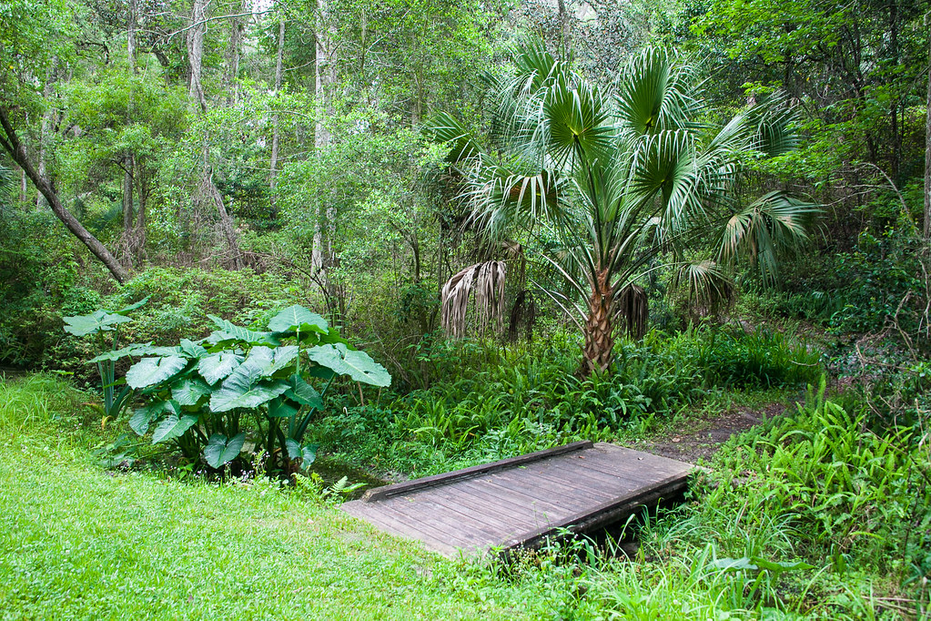 Photo: Rob Bixby, CC BY 2.0 (via Flickr)
- 4.0 mi
- round trip
- 779 ft
- climb
- 82 ft
- high point
- Out and back
- route
- Oct–May
- best months
Ravine Gardens State Park Trail is a 7.9-mile out-and-back hike through Ravine Gardens State Park in Florida, managed by State Park and Recreation. The trail climbs from about 81 feet to about 82 feet, with a total elevation gain and loss of 779 feet each way, and the steepest section comes at about 2.9 miles in, where the grade reaches 4%. Spring and fall are the most comfortable times to go. Typical averages from a nearby weather station run from highs around 74°F in March to 80°F in April and October, while July and August average highs near 90°F with more frequent wet days. The trip takes about 3 hours. Murphy Creek Conservation Area Trail is about 4.2 miles away, and the Florida National Scenic Trail - Northern Region lies about 6.4 miles off.
- Murphy Creek Conservation Area TrailHiking4.2 mi
- Florida National Scenic Trail - Northern RegionHiking6.4 mi
Source: Roamze catalog (indexable pages within 10 miles, PostGIS distance)
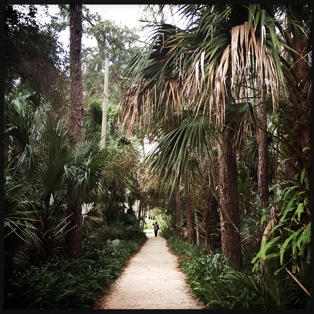 Washington Oaks Gardens State Park TrailHiking · ~45 min drivePhoto: CaptMikey9, CC BY 2.0 (via Flickr)
 Lake, Alachua, Marion (Lam) TrHiking · ~56 min drivePhoto: Miosotis Jade, CC BY-SA 4.0 (via Wikimedia Commons)
- Moses Creek Conservation Area TrailHiking · ~41 min drive
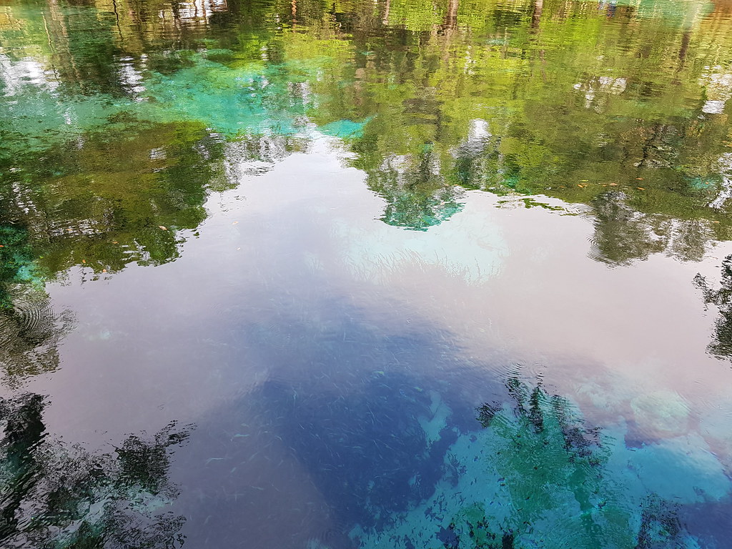 Juniper Springs Nature TrailHiking · ~53 min drivePhoto: Guillaume Capron, CC BY-SA 2.0 (via Flickr)
- Lake George Conservation Area TrailHiking · ~39 min drive
- Camp Blanding RoadwalkHiking · ~42 min drive
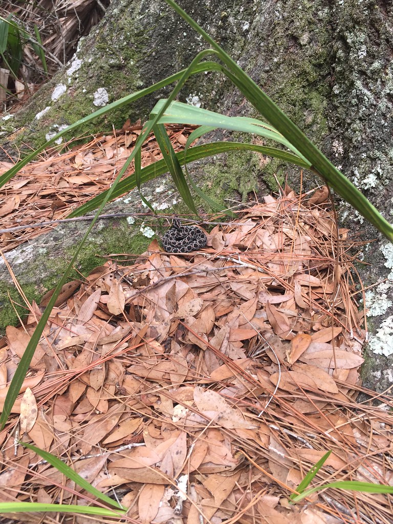 Bulow Plantation Ruins Historic State Park TrailHiking · ~57 min drivePhoto: zappowbang, CC BY-SA 2.0 (via Flickr)
- Gainesville-Hawthorne State TrailHiking · ~1h drive
- Sr 21 Path (Keystone Heights to Mike Roess Gold Head Branch Sp)Hiking · ~44 min drive
 Military Trail LoopHiking · ~1h 4m drivePhoto: homeredwardprice, CC BY 2.0 (via Wikimedia Commons)
Best time to visit Ravine Gardens State Park Trail
Best months: October–May. Best months have typical highs of 55–85 °F, lows of 30 °F or warmer (32 °F where the station doesn't record snow), at most one snowy day and no more than 12 wet days.
Jan
64° / 47°
8 wet
Feb
68° / 50°
8 wet
Mar
74° / 54°
8 wet
Apr
80° / 59°
7 wet
May
85° / 65°
9 wet
Jun
88° / 71°
14 wet
Jul
90° / 73°
17 wet
Aug
89° / 73°
17 wet
Sep
86° / 71°
15 wet
Oct
80° / 65°
10 wet
Nov
73° / 57°
7 wet
Dec
67° / 51°
8 wet
Typical high / low (°F) and days with rain or snow, 1991–2020. Measured at Federal Pt, FL, 10.8 mi away at 5 ft. Source: NOAA NCEI U.S. Climate Normals 1991–2020.

