Fort George Island Area
- 3.0 mi
- loop
- 22 ft
- climb
- 58 ft
- high point
- Loop
- route
- Oct–May
- best months
Is Fort George Island Area open right now?
No closures listed
The National Park Service lists no closures for Timucuan Ecological and Historic Preserve.
As of · Source: NPS · Timucuan Ecological and Historic Preserve. Agencies don't list every closure — check before you go.
The Fort George Island Area is a 3-mile loop hike in Florida, set within the Timucuan Ecological and Historic Preserve and Fort George Island Cultural State Park. The route is an easy walk with a low elevation gain of 22 feet, and it sits at a low point of about 6 feet, rising to a high of 58 feet. The steepest stretch comes at about 0.83 miles in, with a grade of 4 percent. Spring and fall are the most comfortable times to go. Typical averages from a nearby weather station show April highs around 77°F and October highs around 80°F, while July and August average highs near 90°F with the most wet days of the year. The Fort George Island Cultural State Park Trail lies just 0.2 miles away, and the Bild Talbot Island State Park Hiking Trail, Big Talbot Island State Park Trail and Little Talbot Island State Park Trail are all within about 2 miles.
Conditions and forecast on Mount Cornelia
Daily highs and lows, wind and the chance of precipitation at the summit and route start for the next 7 days, from the Open-Meteo model.
- Fort George Island Cultural State Park TrailHiking0.2 mi
- Bild Talbot Island State Park Hiking TrailHiking1.1 mi
- Big Talbot Island State Park TrailHiking1.5 mi
- Little Talbot Island State Park TrailHiking1.9 mi
- Timucuan Trail SystemHiking2.1 mi
- Deer Run TrailHiking3.2 mi
- Cedar Point Preserve TrailHiking3.5 mi
- Turkey Trot TrailHiking3.6 mi
Source: Roamze catalog (indexable pages within 10 miles, PostGIS distance)
 Pumpkin Hill Creek Preserve State Park TrailHiking · ~7 min drivePhoto: KirkOls, CC BY 2.0 (via Flickr)
- Main TrailHiking · ~7 min drivePhoto: KirkOls, CC BY 2.0 (via Flickr)
- Big Talbot Island State Park TrailHiking · ~3 min drive
 Timucuan TrailHiking · ~8 min drivePhoto: nickytheblade, CC BY 2.0 (via Flickr)
- Timucuan Trail SystemHiking · ~4 min drive
- Spanish Pond TrailHiking · ~8 min drivePhoto: nickytheblade, CC BY 2.0 (via Flickr)
- River Glen SidewalkHiking · ~30 min drive
 TIMU-FOCA Visitor Center TrailsHiking · ~9 min drivePhoto: Ken Lund, CC BY-SA 2.0 (via Flickr)
 Hammock TrailHiking · ~9 min drivePhoto: Rob Bixby, CC BY 2.0 (via Flickr)
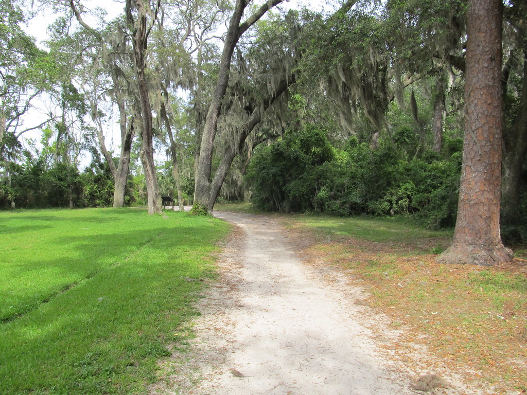 TIMU-FOCA-Hammock TrailHiking · ~9 min drivePhoto: Ken Lund, CC BY-SA 2.0 (via Flickr)
Best time to visit Fort George Island Area
Best months: October–May. Best months have typical highs of 55–85 °F, lows of 30 °F or warmer (32 °F where the station doesn't record snow), at most one snowy day and no more than 12 wet days.
Jan
64° / 47°
9 wet
Feb
66° / 49°
8 wet
Mar
71° / 54°
9 wet
Apr
77° / 60°
7 wet
May
83° / 68°
8 wet
Jun
88° / 73°
12 wet
Jul
90° / 75°
13 wet
Aug
89° / 75°
14 wet
Sep
86° / 73°
12 wet
Oct
80° / 66°
10 wet
Nov
72° / 57°
8 wet
Dec
66° / 50°
9 wet
Typical high / low (°F) and days with rain or snow, 1991–2020. Measured at Mayport Pilot Stn, FL, 2.5 mi away at 16 ft. This station doesn't record snowfall. Source: NOAA NCEI U.S. Climate Normals 1991–2020.
Route details
- Distance
- 3.0 mi
- Climbing
- About 22 ft
- Summit
- 62 ft
- Difficulty
- Easy
- Time
- About 1 hour
Questions about this route
How long is the Fort George Island Area on Mount Cornelia?
About 3.0 mi.
How much elevation gain is on the Fort George Island Area?
About 22 ft of climbing round trip.
How hard is the Fort George Island Area?
It is rated easy.
How long does the Fort George Island Area take?
About 1 hour round trip.
