Snake Bight Trail
- 1.9 mi
- one way
- 3 ft
- high point
- Point to point
- route
- Easy
- difficulty
- Nov–Apr
- best months
Is Snake Bight Trail open right now?
Closure in the area
There's a closure order in Everglades National Park. It doesn't name Snake Bight Trail, so check the source for the area it covers.
Current Alerts and Conditions
Park closure covering Everglades National Park · NPS · Everglades National Park
Roadwork may cause delays on US 41/Tamiami Trail
Park alert covering Everglades National Park · NPS · Everglades National Park
As of · Source: NPS · Everglades National Park. Agencies don't list every closure — check before you go.
Snake Bight Trail is a short, easy hike in Everglades National Park in Florida, managed by the National Park Service. The trail is about 1.85 miles long and runs almost flat, with no elevation gain and only a slight drop of about 13 feet along the way. It is a point-to-point route, so plan on a one-way trip rather than a loop. The most comfortable time to go is winter and early spring. Typical averages from a nearby weather station at Flamingo show January highs around 76°F with lows near 58°F and only about seven wet days. Summer is hotter and wetter, with highs near 90°F and about 14 to 15 wet days a month from July through September. A fee is charged for the trail, and bikes are not allowed. The Snake Bight Hiking Trail starts just 0.1 mile away, and the Rowdy Bend Trail is about 1.4 miles off. Paddlers can reach the Coot Bay Pond Canoe Trail at about 2.3 miles and the Hells Bay Canoe Trail at about 3.4 miles.
Best time to go · Nov–Apr
Best time to visit Snake Bight Trail
Best months: November–April. Best months have typical highs of 55–85 °F, lows of 30 °F or warmer (32 °F where the station doesn't record snow), at most one snowy day and no more than 12 wet days.
Jan
76° / 58°
7 wet
Feb
78° / 60°
5 wet
Mar
81° / 62°
5 wet
Apr
84° / 66°
5 wet
May
87° / 70°
8 wet
Jun
89° / 75°
13 wet
Jul
90° / 76°
15 wet
Aug
90° / 76°
14 wet
Sep
89° / 75°
15 wet
Oct
87° / 71°
11 wet
Nov
82° / 65°
7 wet
Dec
78° / 61°
7 wet
Typical high / low (°F) and days with rain or snow, 1991–2020. Measured at Flamingo Rs, FL, 4.8 mi away at 3 ft. Source: NOAA NCEI U.S. Climate Normals 1991–2020.
Keep exploring — more trails worth the drive
 Photo: Guillaume Capron, CC BY-SA 2.0 (via Flickr)
Rowdy Bend Trail
~2 min drive
2.58-mile point-to-point trail in Florida with 56 ft elevation gain.
 Photo: SridharSaraf, CC BY-SA 2.0 (via Flickr)
Long Pine Key Trail
~34 min drive
6.64-mile point-to-point trail through Florida's pine flatwoods.
HIKE
Rowdy Bend Hiking Trail
~5 min drive
Rowdy Bend Trail is 2.6 miles one way. Explore an overgrown old roadbed through shady buttonwoods and open coastal prairie. This is an opportunity for good woodland bird watching. Combine this trail with the Main Park Road (use caution!) and the Snake Bight Trail for a 12.6-mi…
 Photo: daveynin, CC BY 2.0 (via Flickr)
Fr#6
~34 min drive
3.83-mile out-and-back trail in Florida with 83 ft of elevation gain.
HIKE
Christian Point Hiking Trail
~8 min drive
Christian Point is 1.6 miles one way. Wander a rustic path through a wide diversity of habitats. The trail begins in dense mangroves and buttonwoods full of bromeliads, or airplants. Next, investigate the unusual, salt–loving vegetation of open coastal prairie. Dead buttonwood…
HIKE
Coastal Prairie Trail
~11 min drive
6.19-mile point-to-point trail in Florida with 155 ft elevation loss.
HIKE
Bear Lake Trail
~8 min drive
Located at the end of Bear Lake Road (2 miles long), Bear Lake Trail is 1.6 miles one way. Biking is allowed on Bear Lake Road only and not permitted on Bear Lake Trail. Journey through a dense hardwood hammock mixed with mangroves. The trail follows the old Homestead Canal…
HIKE
Z4 Need Name 4
~54 min drive
6.61-mile out-and-back trail in Florida with 10 ft gain.
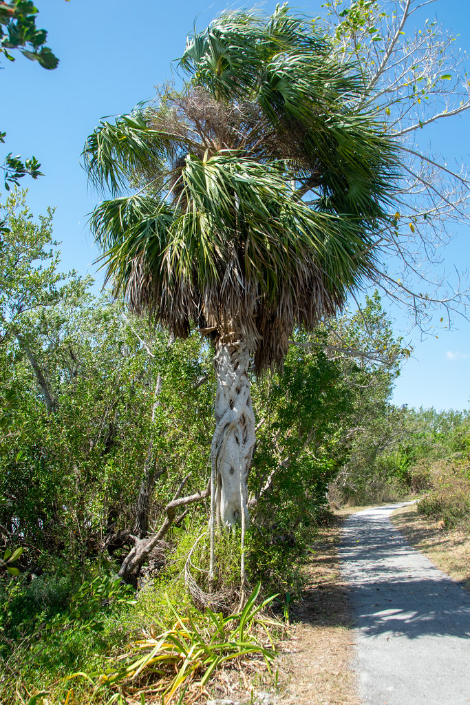 Photo: Paul and Jill, CC BY 2.0 (via Flickr)
Eco Pond
~10 min drive
0.49-mile loop trail in Florida with 19 ft elevation loss.
HIKE
Z4 Need Name 5
~54 min drive
5.46-mile out-and-back trail in Florida with 18 ft elevation gain

Map and trail data © OpenStreetMap contributors
