Rattlesnake Well Loop
- 1.0 mi
- round trip
- 15 ft
- climb
- 19 ft
- high point
- Out and back
- route
- Oct–Apr
- best months
Is Rattlesnake Well Loop open right now?
Closure in the area
There's a closure order in National Forests in Florida. It doesn't name Rattlesnake Well Loop, so check the source for the area it covers.
Travel Management & Off-Highway Vehicle (OHV) Program
Agency closure covering National Forests in Florida · USFS · National Forests in Florida
Fire Restrictions in Effect for Ocala National Forest
Agency alert covering National Forests in Florida · USFS · National Forests in Florida
As of · Source: USFS · National Forests in Florida. Agencies don't list every closure — check before you go.
Rattlesnake Well Loop is a 1-mile out-and-back hike in the Seminole Ranger District of the National Forests in Florida, managed by the Forest Service. The trail is rated easy, with no elevation gain or loss, and it runs on natural ground. The most comfortable months for a visit are typically late fall through spring. Typical averages from a nearby weather station in Deland show November highs around 76°F with lows near 54°F, while summer brings highs in the low 90s and rain on about 16 to 17 days a month from June through August. The trail is not accessible, and bikes and horses are not allowed. The St. Francis Trail lies about a mile away, and the River Forest Group Site campground is about 1.1 miles off. Farther out, the Eastside Trail is roughly 6.4 miles away, and Clearwater Lake campground is about 9 miles away.
Local outfitters
Not on Roamze yet. Their page has how to reach them.
Best time to go · Oct–Apr
Best time to visit Rattlesnake Well Loop
Best months: October–April. Best months have typical highs of 55–85 °F, lows of 30 °F or warmer (32 °F where the station doesn't record snow), at most one snowy day and no more than 12 wet days.
Jan
69° / 45°
8 wet
Feb
72° / 47°
7 wet
Mar
76° / 51°
8 wet
Apr
81° / 57°
7 wet
May
86° / 64°
9 wet
Jun
89° / 70°
16 wet
Jul
91° / 72°
17 wet
Aug
90° / 73°
16 wet
Sep
88° / 71°
14 wet
Oct
82° / 63°
10 wet
Nov
76° / 54°
8 wet
Dec
71° / 48°
8 wet
Typical high / low (°F) and days with rain or snow, 1991–2020. Measured at Deland 1 Sse, FL, 6.7 mi away at 25 ft. Source: NOAA NCEI U.S. Climate Normals 1991–2020.
Keep exploring — more trails worth the drive
 Photo: gary_leavens, CC BY-SA 2.0 (via Flickr)
Lower Wekiva River Preserve State Park Trail
~24 min drive
0.65-mile out-and-back trail on the Wekiva River in Florida.
 Photo: gary_leavens, CC BY-SA 2.0 (via Wikimedia Commons)
Wekiwa Volksmarch Trail
~35 min drive
5-mile point-to-point trail in Florida with 343 ft elevation gain.
 Photo: Miosotis Jade, CC BY-SA 4.0 (via Wikimedia Commons)
Lake, Alachua, Marion (Lam) Tr
~45 min drive
44.00-mile out-and-back trail in Florida with 724 ft gain and 791 ft loss.
Photo: gary_leavens, CC BY-SA 2.0 (via Wikimedia Commons)Wekiwa East-West
~35 min drive
1.12-mile point-to-point trail in Florida with 61 ft gain.
HIKE
Lower Wekiva Loop - Outer 11Mi
~22 min drive
6.10-mile point-to-point trail in Florida with 262 ft gain.
HIKE
Paisley Woods Mtn Bike
~15 min drive
44-mile out-and-back mountain bike trail through Florida woodland terrain.
Photo: gary_leavens, CC BY-SA 2.0 (via Wikimedia Commons)Wekiwa Main Hiking Trail
~36 min drive
8.2-mile point-to-point trail through Wekiwa Springs State Park's diverse ecosystems.
HIKE
Longleaf Pine Preserve Blue Trail
~25 min drive
7.86-mile point-to-point hike in Florida with 131 ft elevation gain.
HIKE
Flatwoods Riding Loop
~25 min drive
28-mile out-and-back trail in Florida with 488 ft elevation gain
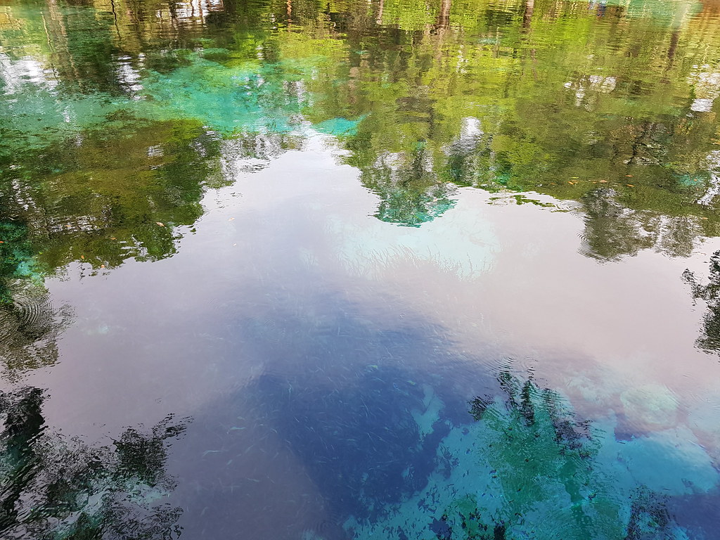 Photo: Guillaume Capron, CC BY-SA 2.0 (via Flickr)
Juniper Springs Nature Trail
~37 min drive
Easy out-and-back nature trail through Florida springs landscape.

