Orange Trail
- 1.4 mi
- round trip
- 161 ft
- climb
- 10 ft
- high point
- Out and back
- route
- Oct–May
- best months
Caution today
Weather is marginal · OpenWeather · checked 7 h ago
Orange Trail is an easy, low-elevation out-and-back hike of about 2.7 miles on the Guana River Site of the Florida State Department of Conservation's GTMNERR. It lies within the state's conservation lands and is a short walk from the Guana River Site's trail network. The route stays nearly flat, with the highest point on the trail reaching about 10 feet and the lowest about 4 feet. The steepest stretch comes at about 1.1 miles in, where the grade reaches roughly 5 percent, but it is not a significant climb. The most comfortable months for a visit are typically March and November, when typical averages from the nearby St Augustine Lighthouse weather station run to highs around 74°F and 75°F with lows in the mid-50s. Summer is hotter and wetter, with July highs averaging about 91°F and around 13 wet days. The Purple Trail lies about 1.3 miles away, and the Red Trail is about 2.3 miles away.
Best time to go · Oct–May
Best time to visit Orange Trail
Best months: October–May. Best months have typical highs of 55–85 °F, lows of 30 °F or warmer (32 °F where the station doesn't record snow), at most one snowy day and no more than 12 wet days.
Jan
67° / 48°
9 wet
Feb
70° / 50°
8 wet
Mar
74° / 55°
8 wet
Apr
80° / 61°
7 wet
May
85° / 67°
8 wet
Jun
89° / 72°
12 wet
Jul
91° / 74°
13 wet
Aug
90° / 74°
14 wet
Sep
87° / 73°
13 wet
Oct
82° / 67°
10 wet
Nov
75° / 58°
8 wet
Dec
69° / 51°
9 wet
Typical high / low (°F) and days with rain or snow, 1991–2020. Measured at St Augustine Lighthouse, FL, 9.8 mi away at 12 ft. Source: NOAA NCEI U.S. Climate Normals 1991–2020.
Keep exploring — more trails worth the drive
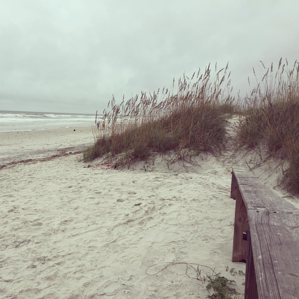 Photo: Hyokano, CC BY-SA 2.0 (via Flickr)
Dutton Island Park and Preserve Trail
~39 min drive
1.15-mile out-and-back trail in Florida with 144 ft gain and 181 ft loss.
 Photo: KirkOls, CC BY 2.0 (via Flickr)
Pumpkin Hill Creek Preserve State Park Trail
~54 min drive
8.14-mile out-and-back trail in Florida with 195 ft elevation gain and loss.
 Photo: davidwilson1949, CC BY 2.0 (via Flickr)
Willie Brown Trail
~44 min drive
1.09-mile out-and-back trail in Florida with 73 ft elevation gain.
HIKE
Purple Trail
~2 min drive
2.67-mile out-and-back hike in Florida with 127 ft gain.
 Photo: nickytheblade, CC BY 2.0 (via Flickr)
Timucuan Trail
~45 min drive
1.24-mile out-and-back hike in Florida with 211 ft gain.
HIKE
Moses Creek Conservation Area Trail
~32 min drive
7.59-mile out-and-back trail in Florida with 315 ft elevation gain.
Photo: nickytheblade, CC BY 2.0 (via Flickr)Spanish Pond Trail
~45 min drive
0.53-mile out-and-back hike in Florida with 26 ft elevation gain.
HIKE
Big Talbot Island State Park Trail
~52 min drive
7.13-mile out-and-back hike in Big Talbot Island State Park, Florida.
 Photo: Ken Lund, CC BY-SA 2.0 (via Flickr)
TIMU-FOCA Visitor Center Trails
~46 min drive
0.40-mile out-and-back trail at TIMU-FOCA Visitor Center in Florida.
HIKE
Timucuan Trail System
~52 min drive
6.58-mile out-and-back trail in Florida with 243 ft elevation gain/loss

Map and trail data © OpenStreetMap contributors
