Myakka Hiking Trail
- 32.6 mi
- one way
- 20 ft
- climb
- 43 ft
- high point
- Point to point
- route
Myakka Hiking Trail is a 32.6-mile point-to-point route in Myakka River State Park in Florida, managed by State Park and Recreation. The trail is rated easy, with an elevation gain of 20 feet, and it runs from a low point of 15 feet to a high of 43 feet. Bikes and horses are not allowed. The most comfortable months for a visit are typically the cooler part of the year. Typical averages from a nearby weather station show January highs around 74°F with lows near 50°F, while summer brings highs in the low 90s and rain on about 15 to 18 days a month from June through September. Bee Island Crosstrail lies about 1.4 miles away, and William S Boylston Nature Trail is about 4.5 miles off. Myakka State Park Boulder, a climbing area, is about 5.1 miles away, and paddlers can head to Big Slough, about 9.7 miles away.
Keep exploring — more trails worth the drive
 Photo: Will Pittenger, CC BY-SA 3.0 (via Wikimedia Commons)
William S Boylston Nature Trail
~8 min drive
0.88-mile loop trail in Florida with 46 ft elevation gain.
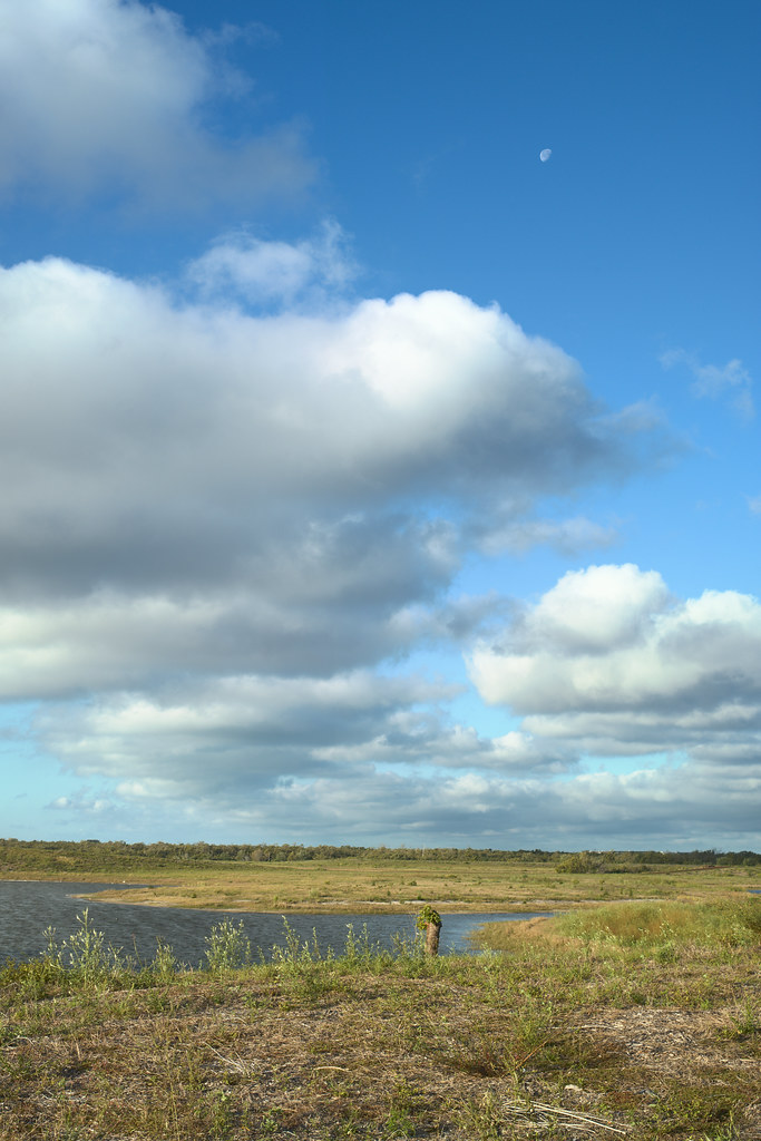 Photo: tehbieber, CC BY-SA 2.0 (via Flickr)
Eagle Loop
~57 min drive
3.82-mile out-and-back trail in Florida with 37 ft elevation gain.
HIKE
Alafia Rver State Park Trail
~1h 5m drive
23.42-mile out-and-back trail in Alafia Rver State Park, Florida.
 Photo: Vironevaeh, CC BY-SA 2.0 (via Flickr)
Don Pedro Island State Park
~44 min drive
0.80-mile out-and-back trail in Don Pedro Island State Park, Florida
 Photo: ebyabe, CC BY-SA 2.0 (via Flickr)
Paynes Creek Historic State Park Trail
~1h 3m drive
5.66-mile out-and-back trail in Paynes Creek Historic State Park, Florida.
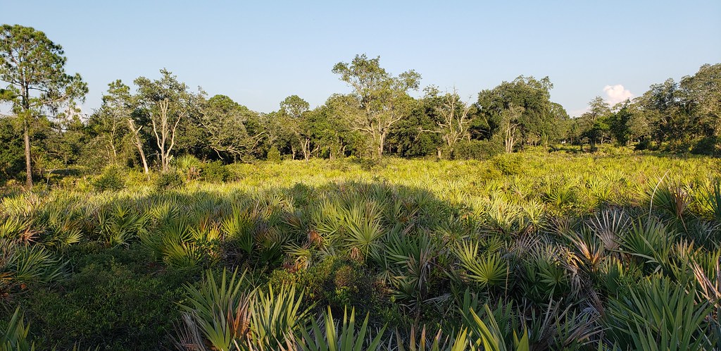 Photo: Always Ascetic, Public Domain Dedication (CC0) (via Flickr)
Little Manatee River State Park Trail
~53 min drive
21.29-mile out-and-back trail along the Little Manatee River in Florida.
 Photo: Always Ascetic, Public Domain Dedication (CC0) (via Flickr)
Golden Aster Preserve
~1h 9m drive
6.27-mile out-and-back trail in Florida with 145 ft elevation gain.
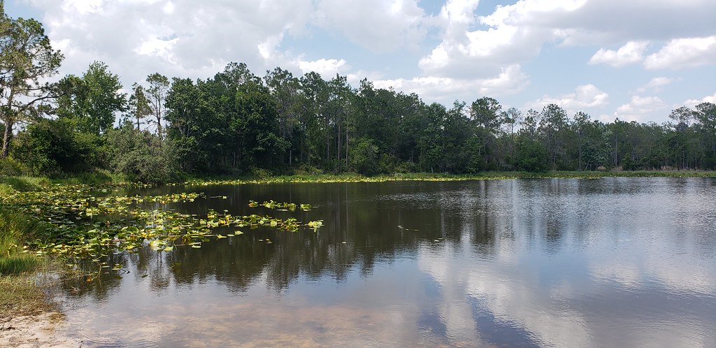 Photo: Always Ascetic, Public Domain Dedication (CC0) (via Flickr)
Powerline Road
~54 min drive
0.53-mile out-and-back trail in Florida's State Park and Recreation system.
 Photo: zoso8203, Public Domain Mark (via Flickr)
Skyway Trail
~1h 15m drive
6.66-mile out-and-back trail in Florida with 203 ft elevation gain/loss.
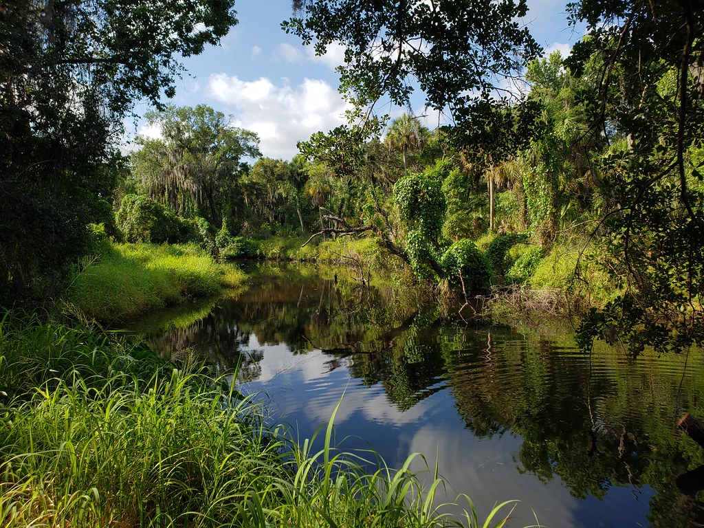 Photo: heytampa, CC BY 2.0 (via Flickr)
Tortoise Trail
~55 min drive
0.62-mile loop in Florida with 23 ft gain.


Map and trail data © OpenStreetMap contributors
