Leffis Key Foot Path
- 0.3 mi
- round trip
- 3 ft
- climb
- 8 ft
- high point
- Out and back
- route
- Nov–Apr
- best months
Caution today
Weather is marginal · OpenWeather · checked just now
Leffis Key Foot Path is a short, flat walk of about 0.6 miles on Coquina Bayside Park, county land in Florida. The route is an out-and-back with no real climb, rising from 8 feet at the start to a high point of 8 feet, and the total elevation gain and loss are each about 3 feet. It's an easy hike that takes roughly half an hour to complete. Spring is the most comfortable time to go. Typical averages from a nearby weather station run highs in the upper 70s and low 80s from March through April, with only five or six wet days a month. Summer brings highs around 90 and rain on 16 or 17 days in July and August. The Leffis Key Trail starts about 0.1 mile away, and Eagle Loop and Emerson Point Park Trail are both within about six miles.
- Leffis Key TrailHiking0.1 mi
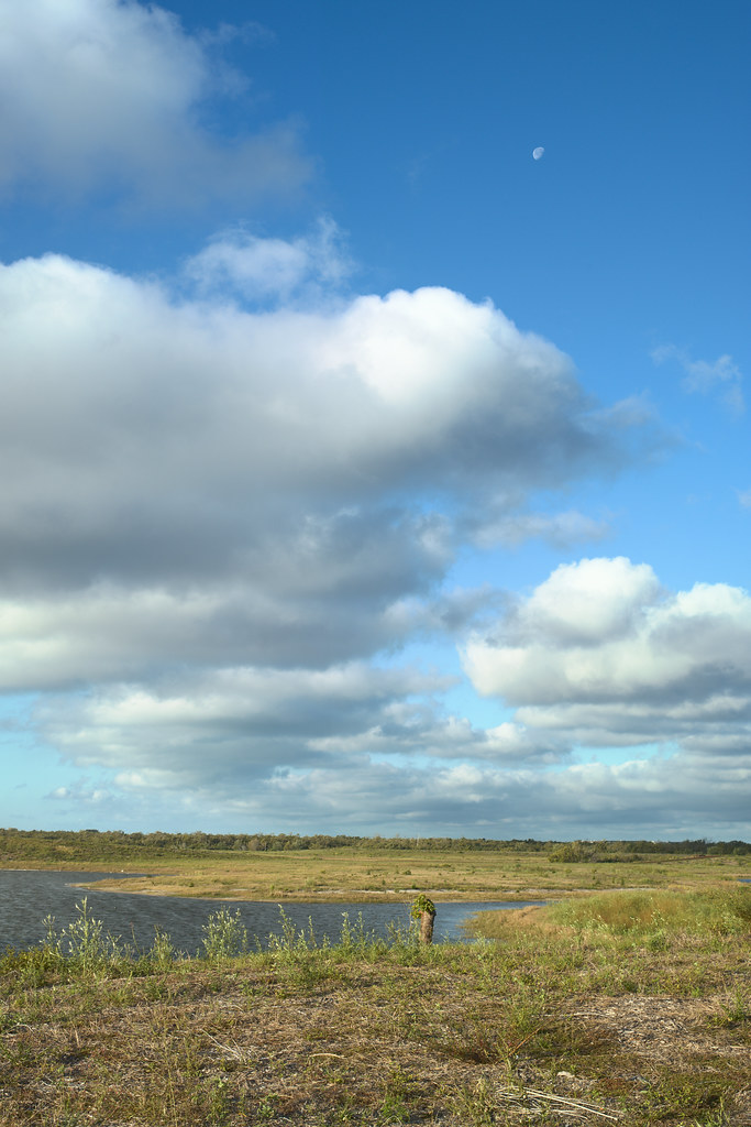 Eagle LoopHikingPhoto: tehbieber, CC BY-SA 2.0 (via Flickr)4.1 mi
- Emerson Point Park TrailHiking6.2 mi
Source: Roamze catalog (indexable pages within 10 miles, PostGIS distance)
- Eagle LoopHiking · ~7 min drivePhoto: tehbieber, CC BY-SA 2.0 (via Flickr)
 North Bay TrailHiking · ~40 min drivePhoto: Roman Eugeniusz, CC BY-SA 3.0 (via Wikimedia Commons)
- Alafia Rver State Park TrailHiking · ~1h 9m drive
 Skyway TrailHiking · ~32 min drivePhoto: zoso8203, Public Domain Mark (via Flickr)
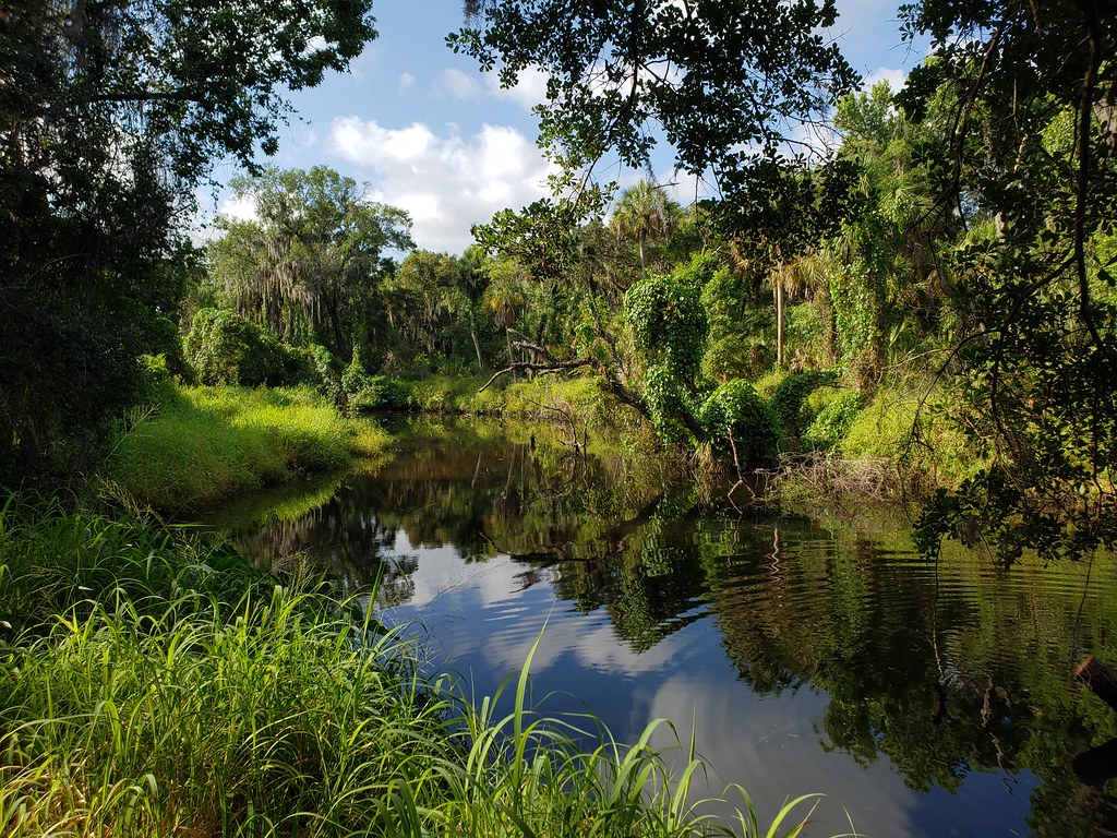 Palmetto PassHiking · ~40 min drivePhoto: heytampa, CC BY 2.0 (via Flickr)
 Golden Aster PreserveHiking · ~54 min drivePhoto: Always Ascetic, Public Domain Dedication (CC0) (via Flickr)
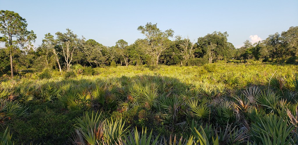 Little Manatee River State Park TrailHiking · ~41 min drivePhoto: Always Ascetic, Public Domain Dedication (CC0) (via Flickr)
- Emerson Point Park TrailHiking · ~11 min drive
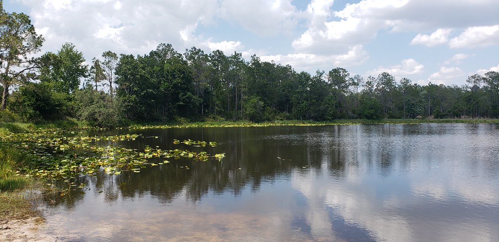 Powerline RoadHiking · ~41 min drivePhoto: Always Ascetic, Public Domain Dedication (CC0) (via Flickr)
- Fort De Soto Recreational TrailHiking · ~23 min drive
Best time to visit Leffis Key Foot Path
Best months: November–April. Best months have typical highs of 55–85 °F, lows of 30 °F or warmer (32 °F where the station doesn't record snow), at most one snowy day and no more than 12 wet days.
Jan
72° / 52°
8 wet
Feb
75° / 55°
7 wet
Mar
78° / 58°
6 wet
Apr
83° / 63°
5 wet
May
88° / 68°
7 wet
Jun
90° / 74°
12 wet
Jul
91° / 75°
16 wet
Aug
92° / 75°
17 wet
Sep
90° / 74°
13 wet
Oct
86° / 68°
8 wet
Nov
80° / 60°
6 wet
Dec
75° / 55°
8 wet
Typical high / low (°F) and days with rain or snow, 1991–2020. Measured at Sarasota Bradenton Ap, FL, 8.8 mi away at 28 ft. This station doesn't record snowfall. Source: NOAA NCEI U.S. Climate Normals 1991–2020.

Map and trail data © OpenStreetMap contributors
