Fishing Trail
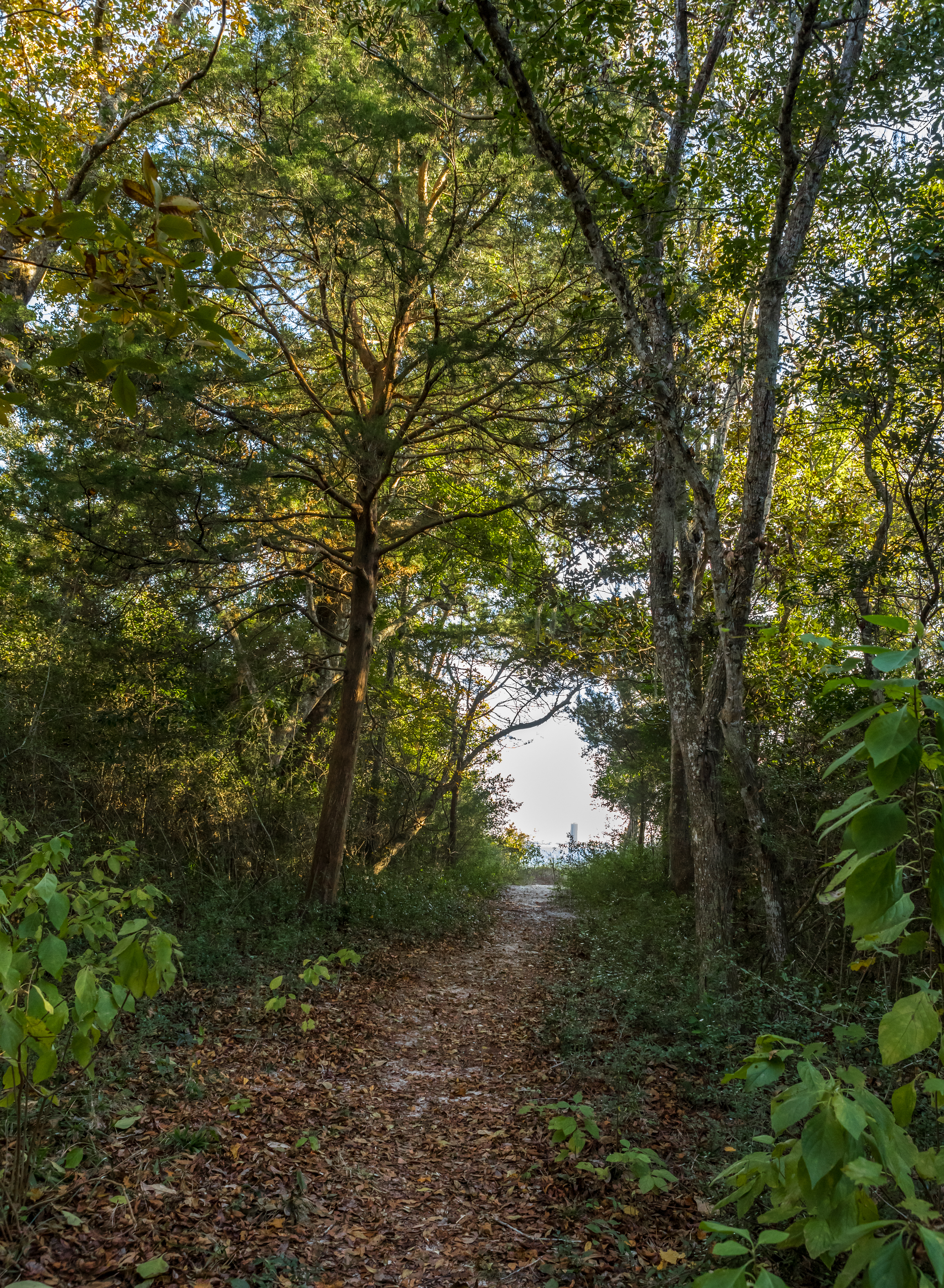 Photo: Owens
- 1.2 mi
- round trip
- 14 ft
- climb
- 39 ft
- high point
- Out and back
- route
- Oct–May
- best months
Is Fishing Trail open right now?
Closure in the area
There's a closure order in Gulf Islands National Seashore. It doesn't name Fishing Trail, so check the source for the area it covers.
Battery 234 Loop Road Closure
Park closure covering Gulf Islands National Seashore · NPS · Gulf Islands National Seashore
Rip Current Status
Park alert covering Gulf Islands National Seashore · NPS · Gulf Islands National Seashore
Road workers on Park Road in Davis Bayou
Park alert covering Gulf Islands National Seashore · NPS · Gulf Islands National Seashore
As of · Source: NPS · Gulf Islands National Seashore. Agencies don't list every closure — check before you go.
The Fishing Trail is a short, easy walk in Gulf Islands National Seashore in Florida, managed by the National Park Service. It runs the length of the Santa Rosa Sound side of the Naval Live Oaks Area, about 1.2 miles long one way, and connects to the Brackenridge Loop Trail and overlook. The trail is parallel to US Highway 98, and the total out-and-back distance is about 1.8 miles. The trail passes through dense forest down to the sandy bay, where visitors can observe wildlife. Several water access points along the way make it easy to stop for fishing or to launch a kayak. Trailheads sit at the intersection with the Brackenridge Nature Trail and at three pullouts on the south side of US Highway 98 going east from Gulf Breeze to Naval Live Oaks. Spring and fall are the most comfortable times to visit. Typical averages from a nearby weather station show April highs around 78°F and October highs around 81°F, while July and August average in the low 90s with more frequent wet days. Fishing Trail Beach Access is just 0.1 mile away, and the NLO Browns Pond Trail and NLO Old Quarry Trail are both within a mile. Fort Pickens Campground is about 9 miles off.
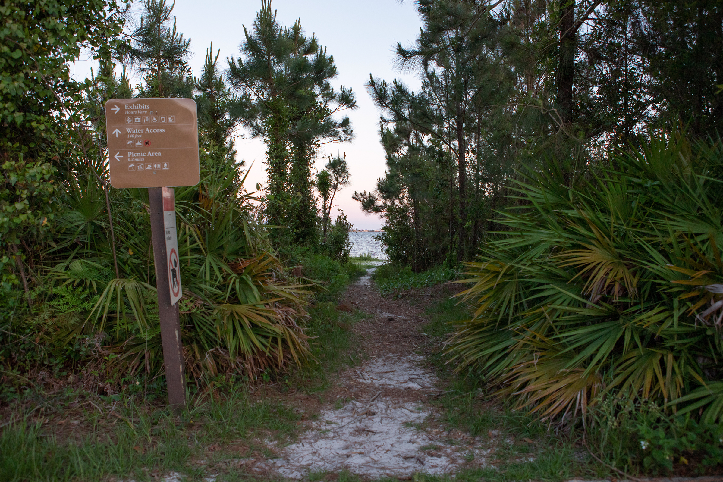 Fishing Trail Beach AccessHikingPhoto: Owens0.1 mi
- NLO Browns Pond TrailHiking0.7 mi
- NLO Old Quarry TrailHiking0.9 mi
- NLO Andrew Jackson Trail (LCS 05406 STRC NUM N-11)Hiking1 mi
 Fort Pickens Campground: Loop ACamping8.6 mi
 Fort Pickens Campground: Loop ECamping8.8 mi
 Fort Pickens Campground: Loop CCamping8.8 mi
- PcolaRock climbing9.5 mi
Source: Roamze catalog (indexable pages within 10 miles, PostGIS distance)
- Fishing Trail Beach AccessHiking · Next door
- Beach Walk TrailHiking · ~6 min drive
- Timber Lake TrailsHiking · ~56 min drive
- North South TrailHiking · ~2 min drive
- Florida National Scenic Trail - Panhandle RegionHiking · ~22 min drive
- Perdido TrailHiking · ~1h 5m drive
- Beaver Pond TrailHiking · ~2 min drive
- Brown's Pond TrailHiking · ~2 min drive
- Old Borrow Pit TrailHiking · ~3 min drive
 FP Blackbird Marsh Nature TrailHiking · ~15 min drivePhoto: gary_leavens, CC BY-SA 2.0 (via Flickr)
Also worth it near here
Best time to visit Fishing Trail
Best months: October–May. Best months have typical highs of 55–85 °F, lows of 30 °F or warmer (32 °F where the station doesn't record snow), at most one snowy day and no more than 12 wet days.
Jan
63° / 44°
10 wet
Feb
66° / 47°
8 wet
Mar
72° / 53°
8 wet
Apr
78° / 59°
7 wet
May
85° / 67°
8 wet
Jun
90° / 73°
12 wet
Jul
92° / 75°
15 wet
Aug
91° / 75°
14 wet
Sep
89° / 72°
9 wet
Oct
81° / 62°
7 wet
Nov
72° / 51°
7 wet
Dec
65° / 46°
9 wet
Typical high / low (°F) and days with rain or snow, 1991–2020. Measured at Pensacola Rgnl Ap, FL, 8.5 mi away at 112 ft. This station doesn't record snowfall. Source: NOAA NCEI U.S. Climate Normals 1991–2020.

