Pensacola Beach: Santa Rosa Island Authority, James P. Morgan Park
- Oct–May
- best months
Is Pensacola Beach: Santa Rosa Island Authority, James P. Morgan Park open right now?
Closure in the area
There's a closure order in Gulf Islands National Seashore. It doesn't name Pensacola Beach: Santa Rosa Island Authority, James P. Morgan Park, so check the source for the area it covers.
Battery 234 Loop Road Closure
Park closure covering Gulf Islands National Seashore · NPS · Gulf Islands National Seashore
Rip Current Status
Park alert covering Gulf Islands National Seashore · NPS · Gulf Islands National Seashore
Road workers on Park Road in Davis Bayou
Park alert covering Gulf Islands National Seashore · NPS · Gulf Islands National Seashore
As of · Source: NPS · Gulf Islands National Seashore. Agencies don't list every closure — check before you go.
Pensacola Beach: Santa Rosa Island Authority, James P. Morgan Park is a beach within Gulf Islands National Seashore in Florida, about 2.5 miles from the town of Gulf Breeze. It sits on the Santa Rosa Island side of the seashore, and the park is managed by the Santa Rosa Island Authority. Spring and fall are the most comfortable times to visit. Typical averages from a nearby weather station show April highs around 78°F and October highs around 81°F, while July and August average in the low 90s with the most wet days of the year. Several trails lie close by. Fishing Trail Beach Access and the Fishing Trail are both about 1.7 miles away, and the NLO Andrew Jackson Trail is about 1.8 miles off. For an overnight stay, Fort Pickens Campground is roughly 7.5 miles away.
- Parking
- Small lot
- Restrooms
- None
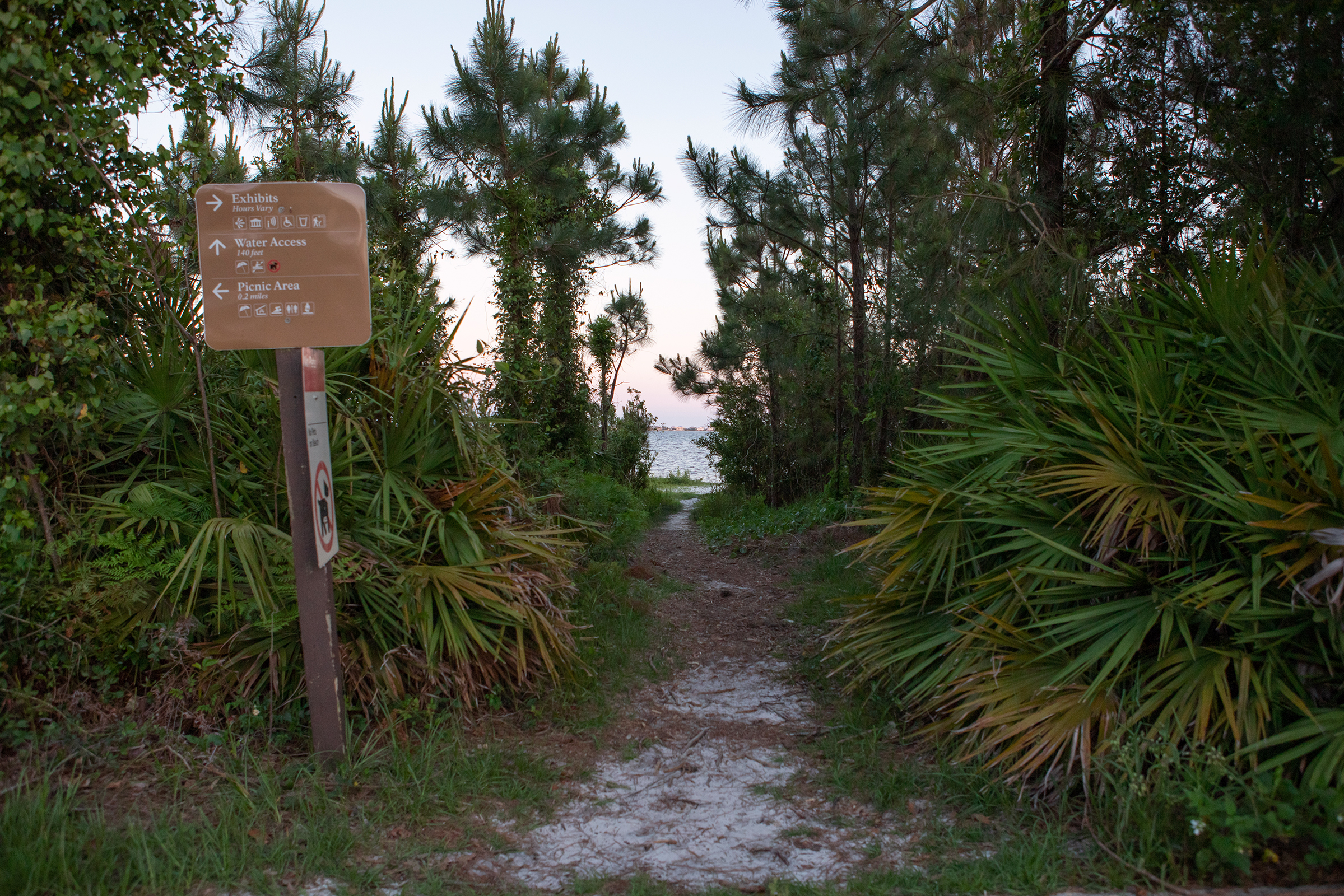 Fishing Trail Beach AccessHikingPhoto: Owens1.7 mi
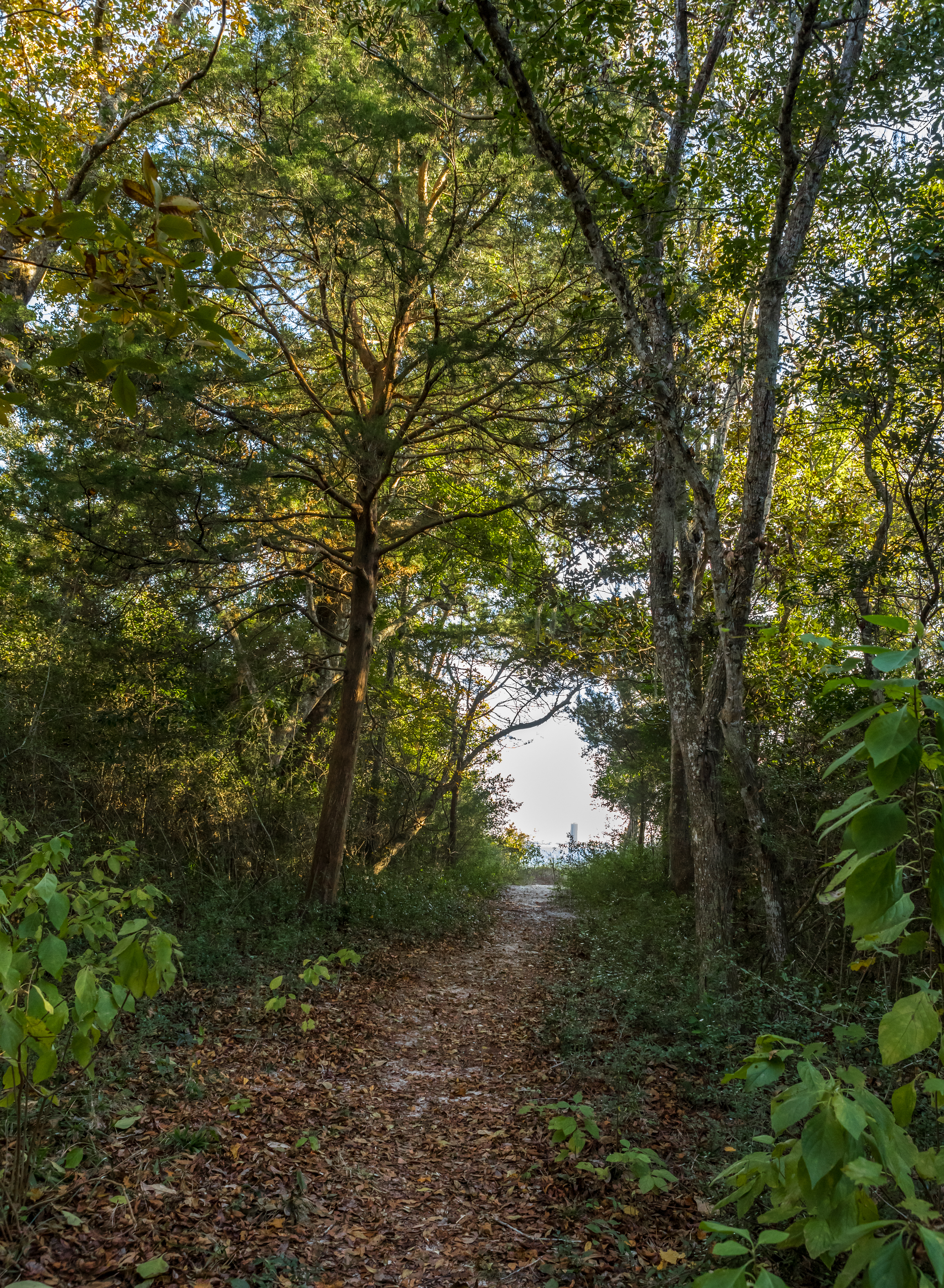 Fishing TrailHikingPhoto: Owens1.7 mi
- NLO Andrew Jackson Trail (LCS 05406 STRC NUM N-11)Hiking1.8 mi
- Florida National Scenic Trail - Panhandle RegionHiking2.2 mi
 Fort Pickens Campground: Loop ACamping7.5 mi
 Fort Pickens Campground: Loop ECamping7.7 mi
 Fort Pickens Campground: Loop CCamping7.8 mi
 Fort Pickens Campground: Loop BCamping7.8 mi
Source: Roamze catalog (indexable pages within 10 miles, PostGIS distance)
- Pensacola Beach: Santa Rosa Island Authority, Quietwater BeachBeach · Next door
- Pensacola Beach: Pensacola Beach Gulf Pier; Pensacola Beach ParkBeach · ~1 min drive
- Pensacola Beach, Casino BeachBeach · ~1 min drive
- Pensacola Beach, Casino Beach: Pedestrian Walkway 1Beach · ~1 min drive
- Pensacola Beach: Santa Rosa Island Authority (east)Beach · ~1 min drive
- Pensacola Beach, Casino Beach: Pedestrian Walkway 2Beach · ~2 min drive
- Pensacola Beach, Casino Beach: Pedestrian Walkway 3Beach · ~2 min drive
- Pensacola Beach, Casino Beach: Avienda 10Beach · ~2 min drive
- Pensacola Beach, Casino Beach: Ariola Drive Pedestrian Walkway 1Beach · ~2 min drive
- Pensacola Beach, Casino Beach: Ariola Drive Pedestrian Walkway 2Beach · ~2 min drive
Best time to visit Pensacola Beach: Santa Rosa Island Authority, James P. Morgan Park
Best months: October–May. Best months have typical highs of 55–85 °F, lows of 30 °F or warmer (32 °F where the station doesn't record snow), at most one snowy day and no more than 12 wet days.
Jan
63° / 44°
10 wet
Feb
66° / 47°
8 wet
Mar
72° / 53°
8 wet
Apr
78° / 59°
7 wet
May
85° / 67°
8 wet
Jun
90° / 73°
12 wet
Jul
92° / 75°
15 wet
Aug
91° / 75°
14 wet
Sep
89° / 72°
9 wet
Oct
81° / 62°
7 wet
Nov
72° / 51°
7 wet
Dec
65° / 46°
9 wet
Typical high / low (°F) and days with rain or snow, 1991–2020. Measured at Pensacola Rgnl Ap, FL, 9.8 mi away at 112 ft. We don't have this place's elevation, so higher spots nearby can run cooler. This station doesn't record snowfall. Source: NOAA NCEI U.S. Climate Normals 1991–2020.

