Fort Pickens Campground: Loop E
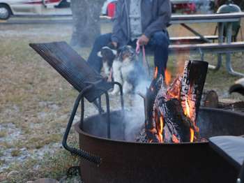
- Oct–May
- best months
Is Fort Pickens Campground: Loop E open right now?
Closure in the area
There's a closure order in Gulf Islands National Seashore. It doesn't name Fort Pickens Campground: Loop E, so check the source for the area it covers.
Battery 234 Loop Road Closure
Park closure covering Gulf Islands National Seashore · NPS · Gulf Islands National Seashore
Rip Current Status
Park alert covering Gulf Islands National Seashore · NPS · Gulf Islands National Seashore
Road workers on Park Road in Davis Bayou
Park alert covering Gulf Islands National Seashore · NPS · Gulf Islands National Seashore
As of · Source: NPS · Gulf Islands National Seashore. Agencies don't list every closure — check before you go.
- At 4 ft
- Gulf Islands National Seashore
Fort Pickens Campground: Loop E is a campground within Gulf Islands National Seashore in Florida, about 0.1 mile from Fort Pickens Campground: Loop D and Loop B. The site sits among several loops of the same campground, with Loop A about half a mile away. Spring and fall are the most comfortable times to visit. Typical averages from a nearby weather station show April highs around 75°F and October highs around 79°F, while July and August average highs near 89°F with the most wet days of the year. The campground's other loops are close by, and the Cycle Path is about 2 miles away. Across the state line in Alabama, the Florida National Scenic Trail - Panhandle Region and the Beach Walk Trail are each about 6 miles off.
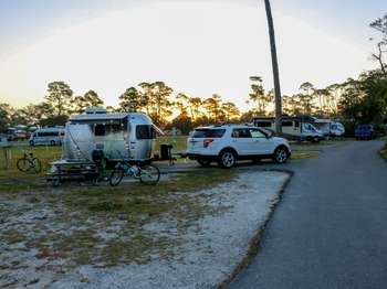 Fort Pickens Campground: Loop DCamping0.1 mi
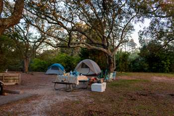 Fort Pickens Campground: Loop BCamping0.1 mi
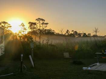 Fort Pickens Campground: Loop CCamping0.1 mi
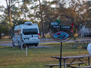 Fort Pickens Campground: Loop ACamping0.5 mi
- Cycle PathHiking2.1 mi
- Florida National Scenic Trail - Panhandle RegionHiking5.7 mi
- Beach Walk TrailHiking5.7 mi
- NLO Andrew Jackson Trail (LCS 05406 STRC NUM N-11)Hiking8 mi
Source: Roamze catalog (indexable pages within 10 miles, PostGIS distance)
- Fort Pickens Campground: Loop DCamping · Next door
- Fort Pickens Campground: Loop BCamping · Next door
- Fort Pickens Campground: Loop CCamping · Next door
- Fort Pickens Campground: Loop ACamping · Next door
 Scout Camp AreaCamping · ~4 min drivePhoto: Breault, Public domain (via Wikimedia Commons)
 Naval Live Oaks Youth Group CampingCamping · ~15 min drivePhoto: Skye Marthaler, CC BY-SA 3.0 (via Wikimedia Commons)
 Gulf Breeze Rv ParkCamping · ~32 min drivePhoto: j2003af, CC BY-SA 3.0 (via Wikimedia Commons)
 Santa Rosa RV ResortCamping · ~42 min drivePhoto: j2003af, CC BY-SA 3.0 (via Wikimedia Commons)
 Dean CampsiteCamping · ~43 min drivePhoto: Navarre0107, Public domain (via Wikimedia Commons)
- Campground Loops B, C, D, ECamping · Next door
Also worth it near here
 FP Blackbird Marsh Nature TrailHiking · Next doorPhoto: gary_leavens, CC BY-SA 2.0 (via Flickr)
- Gulf Islands National Seashore, West Santa Rosa Island, Ft. Pickens: Gulf Islands National Seashore, Ft. PickensBeach · ~2 min drive
- Canoe/Kayak launchBoat launch · ~13 min drive
- PcolaRock climbing · ~17 min drive
Best time to visit Fort Pickens Campground: Loop E
Best months: October–May. Best months have typical highs of 55–85 °F, lows of 30 °F or warmer (32 °F where the station doesn't record snow), at most one snowy day and no more than 12 wet days.
Jan
61° / 42°
9 wet
Feb
64° / 45°
8 wet
Mar
69° / 50°
8 wet
Apr
75° / 57°
7 wet
May
82° / 65°
7 wet
Jun
87° / 72°
10 wet
Jul
89° / 74°
13 wet
Aug
89° / 73°
13 wet
Sep
86° / 70°
9 wet
Oct
79° / 60°
7 wet
Nov
70° / 49°
7 wet
Dec
64° / 45°
8 wet
Typical high / low (°F) and days with rain or snow, 1991–2020. Measured at Pensacola Forest Sherman Nas, FL, 3 mi away at 28 ft. This station doesn't record snowfall. Source: NOAA NCEI U.S. Climate Normals 1991–2020.
