Cycle Path
At a glance
Cycle Path is an easy, out-and-back hike of about 4 miles on the edge of Gulf Islands National Seashore in Florida, where it meets the grounds of Naval Air Station Pensacola. The route rises only about 10 feet from its starting point, with the high point at 35 feet, and the steepest stretch comes at about half a mile in, with a grade of about 4 percent. Spring and fall are the most comfortable times to go. Typical averages from a nearby weather station show April highs around 75°F and October highs around 79°F, while July and August average highs near 89°F with the most wet days of the year. Fort Pickens Campground's Loop D and Loop E are both about 2 miles away. The Florida National Scenic Trail - Panhandle Region and the Beach Walk Trail are each about 7 miles off.
- round trip
- 2.1 mi
- climb
- 119 ft
- high point
- 35 ft
- route
- Out and back
- time
- About 45 minutes
- best months
- Oct–May
Where it is: Gulf Islands National Seashore · Naval Air Station Pensacola FL
Near: Pensacola
Best time to visit Cycle Path
Best months: October–May. Best months have typical highs of 55–85 °F, lows of 30 °F or warmer (32 °F where the station doesn't record snow), at most one snowy day and no more than 12 wet days.
Jan
61°
42°
9 wet
Feb
64°
45°
8 wet
Mar
69°
50°
8 wet
Apr
75°
57°
7 wet
May
82°
65°
7 wet
Jun
87°
72°
10 wet
Jul
89°
74°
13 wet
Aug
89°
73°
13 wet
Sep
86°
70°
9 wet
Oct
79°
60°
7 wet
Nov
70°
49°
7 wet
Dec
64°
45°
8 wet
Typical high / low (°F) and days with rain or snow, 1991–2020. Measured at Pensacola Forest Sherman Nas, FL, 1.1 mi away at 28 ft. This station doesn't record snowfall. Source: NOAA NCEI U.S. Climate Normals 1991–2020.
Been here? Tell people how it was.
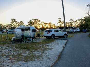 Fort Pickens Campground: Loop DCamping2.1 mi
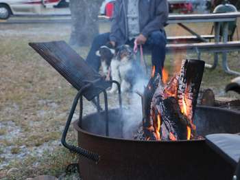 Fort Pickens Campground: Loop ECamping2.1 mi
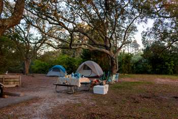 Fort Pickens Campground: Loop BCamping2.1 mi
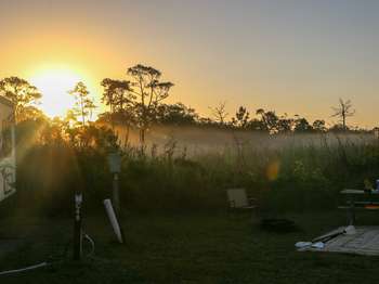 Fort Pickens Campground: Loop CCamping2.2 mi
- Florida National Scenic Trail - Panhandle RegionHiking7.3 mi
- Beach Walk TrailHiking7.3 mi
- NLO Andrew Jackson Trail (LCS 05406 STRC NUM N-11)Hiking9 mi
- PcolaRock climbing9.1 mi
 FP Blackbird Marsh Nature TrailHikingPhoto: gary_leavens, CC BY-SA 2.0 (via Flickr)~4 min drive
- Beach Walk TrailHiking~13 min drive
- Perdido TrailHiking~58 min drive
 PK Discovery TrailHikingPhoto: Antonio Zugaldia from Washington, D.C., United States, CC BY 2.0 (via Wikimedia Commons)~13 min drive
- Florida National Scenic Trail - Panhandle RegionHiking~39 min drive
- Timber Lake TrailsHiking~1h 13m drive
- Perdido Key Discovery TrailHiking~13 min drive
- Fishing TrailHiking~17 min drive
- Fishing Trail Beach AccessHiking~17 min drive
- North South TrailHiking~18 min drive
Also worth it near here
Conditions and forecast
Daily highs and lows, wind and the chance of precipitation at Start for the next 7 days, from the Open-Meteo model.

Ask about this place
Questions about Cycle Path: conditions, access, timing. Answers say when something isn't known.
