Cecil Field Greenway
- 8.5 mi
- round trip
- 446 ft
- climb
- 86 ft
- high point
- Out and back
- route
- Oct–Apr
- best months
Caution today
Weather is marginal · OpenWeather · checked 10 h ago
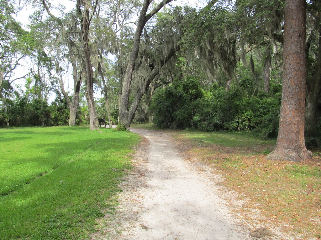
Cecil Field Greenway is an easy, out-and-back hike of about 17 miles in Taye' Brown Regional Park in Florida, on city-managed land. The route starts and ends at roughly 83 feet, with a high point of 86 feet and a total elevation gain of about 32 feet. The climb is gentle, with the steepest stretch at about 4.3 miles, where the grade reaches about 5%. Spring and fall are the most comfortable times to go. Typical averages from a nearby weather station show March highs around 76°F and October highs around 82°F, while July and August average in the low 90s. Sandridge Trail lies about 8 miles away and makes a good pairing for a longer outing in the area.
Source: Roamze catalog (indexable pages within 10 miles, PostGIS distance)
 Lae Loop TrailHiking · ~44 min drivePhoto: gary_leavens, CC BY-SA 2.0 (via Flickr)
 Pumpkin Hill Creek Preserve State Park TrailHiking · ~50 min drivePhoto: KirkOls, CC BY 2.0 (via Flickr)
- Old Alachua TrailHiking · ~38 min drive
 TIMU-FOCA-Hammock TrailHiking · ~45 min drivePhoto: Ken Lund, CC BY-SA 2.0 (via Flickr)
- River Glen SidewalkHiking · ~49 min drive
 TIMU-FOCA Visitor Center TrailsHiking · ~45 min drivePhoto: Ken Lund, CC BY-SA 2.0 (via Flickr)
- Timucuan Trail SystemHiking · ~51 min drive
 Willie Brown TrailHiking · ~46 min drivePhoto: davidwilson1949, CC BY 2.0 (via Flickr)
- Camp Blanding RoadwalkHiking · ~48 min drive
 Spanish Pond TrailHiking · ~46 min drivePhoto: nickytheblade, CC BY 2.0 (via Flickr)
Best time to visit Cecil Field Greenway
Best months: October–April. Best months have typical highs of 55–85 °F, lows of 30 °F or warmer (32 °F where the station doesn't record snow), at most one snowy day and no more than 12 wet days.
Jan
66° / 41°
Feb
70° / 44°
Mar
76° / 48°
Apr
81° / 54°
May
86° / 61°
Jun
90° / 69°
Jul
92° / 72°
Aug
91° / 72°
Sep
88° / 69°
Oct
82° / 59°
Nov
74° / 49°
Dec
68° / 44°
Typical high / low (°F) and days with rain or snow, 1991–2020. Measured at Jackson Whitehouse Nolf, FL, 7.6 mi away at 99 ft. This station doesn't record snowfall. Source: NOAA NCEI U.S. Climate Normals 1991–2020.
Map and trail data © OpenStreetMap contributors
