Camel Lake Loop
- 2.0 mi
- loop
- 80 ft
- high point
- Loop
- route
- Easy
- difficulty
- Oct–May
- best months
Caution at last check
Agency alerts are in effect for this area; weather is marginal · USFS, OpenWeather · checked 14 h ago
Is Camel Lake Loop open right now?
Closure in the area
There's a closure order in National Forests in Florida. It doesn't name Camel Lake Loop, so check the source for the area it covers.
Travel Management & Off-Highway Vehicle (OHV) Program
Agency closure covering National Forests in Florida · USFS · National Forests in Florida
Fire Restrictions in Effect for Ocala National Forest
Agency alert covering National Forests in Florida · USFS · National Forests in Florida
As of · Source: USFS · National Forests in Florida. Agencies don't list every closure — check before you go.
Camel Lake Loop is a 2-mile easy loop in the Apalachicola Ranger District of the National Forests in Florida, managed by the Forest Service. The trail runs on natural sandy beach terrain, and it sits about 0.1 mile from Camel Lake Campground, making it an easy outing for hikers who want to stay close to camp. The loop connects to a larger network of trails, including the Florida Trail, Camel Lake to Savannahs and the Trail of Lakes, so it works well as a starting point for a longer hike. The trail is not accessible, and bikes and horses are not allowed. Spring and fall are the most comfortable times to go. Typical averages from the nearby Wewahitchka weather station show October highs around 80°F with lows near 58°F and only about seven wet days, while July and August bring highs near 89°F and rain on roughly 16 to 17 days a month. Nearby, Little Camel Lake is about 0.4 mile away, and the Trail of Lakes is about 2.6 miles off. Paddlers can head to Equaloxic Creek, about 6.5 miles away, or Finns Slough, about 7.7 miles away.
- Camel Lake CampgroundCamping0.1 mi
- Little Camel LakeHiking0.4 mi
- Trail of LakesHiking2.6 mi
- Equaloxic CreekCanoeing6.5 mi
- Finns SloughCanoeing7.7 mi
- Florida RiverCanoeing7.9 mi
Source: Roamze catalog (indexable pages within 10 miles, PostGIS distance)
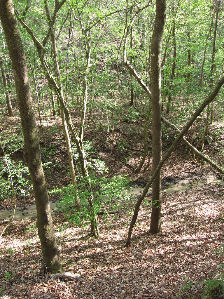 Garden of Eden TrailHiking · ~22 min drivePhoto: cm195902, CC BY 2.0 (via Flickr)
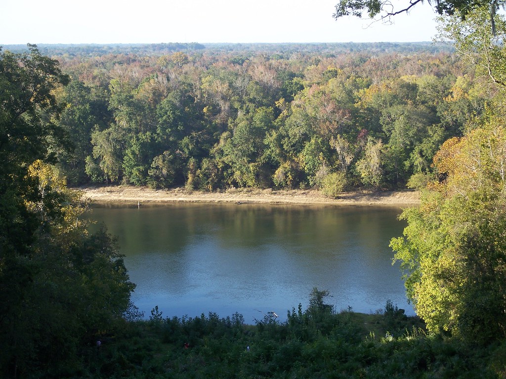 Torreya Challenge TrailHiking · ~35 min drivePhoto: ebyabe, CC BY-SA 2.0 (via Flickr)
 Gf&aHiking · ~1h 2m drivePhoto: The Bushranger, CC BY-SA 3.0 (via Wikimedia Commons)
- Weeping Ridge TrailHiking · ~35 min drivePhoto: ebyabe, CC BY-SA 2.0 (via Flickr)
- Fnst - Lake George Section - FloridaHiking · ~35 min drive
- Torreya TrailHiking · ~33 min drive
- Trail of LakesHiking · ~4 min drive
- Apalachicola National Forest TrailHiking · ~49 min drive
- Wright Lake Loop NorthHiking · ~32 min drive
- Center Hiking LoopHiking · ~54 min drive
Best time to visit Camel Lake Loop
Best months: October–May. Best months have typical highs of 55–85 °F, lows of 30 °F or warmer (32 °F where the station doesn't record snow), at most one snowy day and no more than 12 wet days.
Jan
63° / 40°
9 wet
Feb
66° / 43°
8 wet
Mar
72° / 49°
8 wet
Apr
78° / 54°
7 wet
May
85° / 62°
8 wet
Jun
88° / 69°
13 wet
Jul
89° / 72°
17 wet
Aug
89° / 72°
16 wet
Sep
86° / 68°
11 wet
Oct
80° / 58°
7 wet
Nov
71° / 47°
6 wet
Dec
65° / 42°
8 wet
Typical high / low (°F) and days with rain or snow, 1991–2020. Measured at Wewahitchka, FL, 16.9 mi away at 42 ft. Source: NOAA NCEI U.S. Climate Normals 1991–2020.

