Bee Island Crosstrail
- 1.8 mi
- one way
- 39 ft
- high point
- Point to point
- route
- Easy
- difficulty
- Nov–Apr
- best months
Bee Island Crosstrail is a short, easy walk of about 1.8 miles through Myakka River State Park in Florida, managed by State Park and Recreation. The trail is a point-to-point route with no elevation gain, running from a low point of about 24 feet to a high of about 39 feet. It is a flat, low-impact outing, and the total loss of about 41 feet makes it a gentle walk in either direction. The most comfortable months for a visit are typically the cooler, drier stretch from November through March, when typical averages from a nearby weather station run from highs around 74°F in January to about 81°F in March, with only six or seven wet days a month. Summer is hotter and wetter, with highs near 92°F and about 18 wet days in July and August. The trail is easy to fit into a longer day in the park. Myakka Hiking Trail lies about 1.4 miles away, and William S Boylston Nature Trail is about 3.9 miles off. Climbers can head to Myakka State Park Boulder, about 4.6 miles away, and paddlers can reach the Myakka River, about 9.3 miles away.
Best time to go · Nov–Apr
Best time to visit Bee Island Crosstrail
Best months: November–April. Best months have typical highs of 55–85 °F, lows of 30 °F or warmer (32 °F where the station doesn't record snow), at most one snowy day and no more than 12 wet days.
Jan
74° / 50°
7 wet
Feb
78° / 52°
6 wet
Mar
81° / 55°
6 wet
Apr
85° / 60°
5 wet
May
90° / 65°
8 wet
Jun
92° / 71°
15 wet
Jul
92° / 73°
18 wet
Aug
93° / 74°
18 wet
Sep
91° / 72°
15 wet
Oct
86° / 66°
9 wet
Nov
81° / 57°
6 wet
Dec
77° / 53°
7 wet
Typical high / low (°F) and days with rain or snow, 1991–2020. Measured at Myakka Rvr Sp, FL, 4.7 mi away at 19 ft. Source: NOAA NCEI U.S. Climate Normals 1991–2020.
Keep exploring — more trails worth the drive
 Photo: Will Pittenger, CC BY-SA 3.0 (via Wikimedia Commons)
William S Boylston Nature Trail
~7 min drive
0.88-mile loop trail in Florida with 46 ft elevation gain.
 Photo: ebyabe, CC BY-SA 2.0 (via Flickr)
Paynes Creek Historic State Park Trail
~1h 2m drive
5.66-mile out-and-back trail in Paynes Creek Historic State Park, Florida.
HIKE
Alafia Rver State Park Trail
~1h 3m drive
23.42-mile out-and-back trail in Alafia Rver State Park, Florida.
 Photo: Vironevaeh, CC BY-SA 2.0 (via Flickr)
Don Pedro Island State Park
~46 min drive
0.80-mile out-and-back trail in Don Pedro Island State Park, Florida
 Photo: Always Ascetic, Public Domain Dedication (CC0) (via Flickr)
Golden Aster Preserve
~1h 7m drive
6.27-mile out-and-back trail in Florida with 145 ft elevation gain.
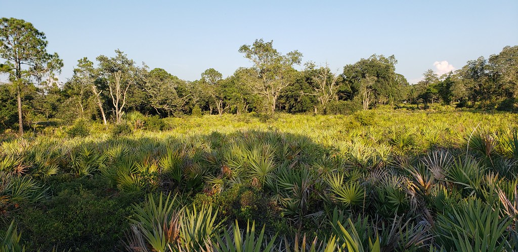 Photo: Always Ascetic, Public Domain Dedication (CC0) (via Flickr)
Little Manatee River State Park Trail
~51 min drive
21.29-mile out-and-back trail along the Little Manatee River in Florida.
 Photo: zoso8203, Public Domain Mark (via Flickr)
Skyway Trail
~1h 13m drive
6.66-mile out-and-back trail in Florida with 203 ft elevation gain/loss.
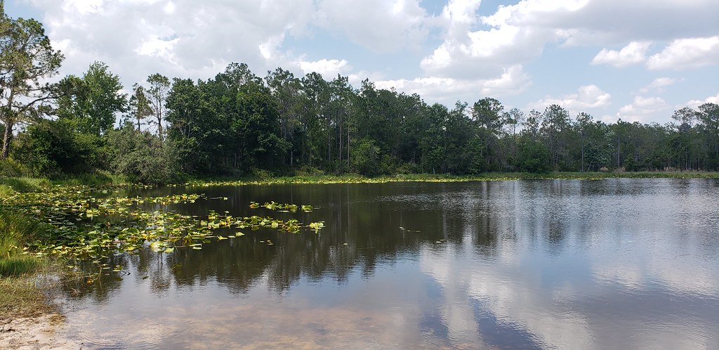 Photo: Always Ascetic, Public Domain Dedication (CC0) (via Flickr)
Powerline Road
~52 min drive
0.53-mile out-and-back trail in Florida's State Park and Recreation system.
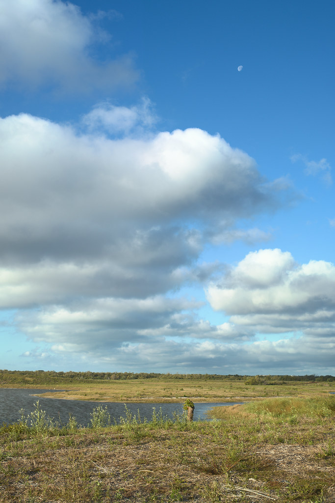 Photo: tehbieber, CC BY-SA 2.0 (via Flickr)
Eagle Loop
~55 min drive
3.82-mile out-and-back trail in Florida with 37 ft elevation gain.
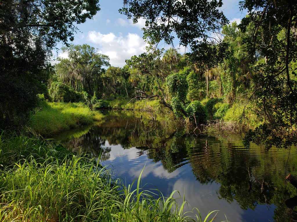 Photo: heytampa, CC BY 2.0 (via Flickr)
Tortoise Trail
~53 min drive
0.62-mile loop in Florida with 23 ft gain.


Map and trail data © OpenStreetMap contributors
