Campground Loops B, C, D, E
- 201
- sites
- Oct–May
- best months
Is Campground Loops B, C, D, E open right now?
Closure in the area
There's a closure order in Gulf Islands National Seashore. It doesn't name Campground Loops B, C, D, E, so check the source for the area it covers.
Battery 234 Loop Road Closure
Park closure covering Gulf Islands National Seashore · NPS · Gulf Islands National Seashore
Rip Current Status
Park alert covering Gulf Islands National Seashore · NPS · Gulf Islands National Seashore
Road workers on Park Road in Davis Bayou
Park alert covering Gulf Islands National Seashore · NPS · Gulf Islands National Seashore
As of · Source: NPS · Gulf Islands National Seashore. Agencies don't list every closure — check before you go.
- 201 sites for group and RV and tent campingReservable on Recreation.gov
- At 4 ft
- Gulf Islands National Seashore
Campground Loops B, C, D, E is a campground in Florida at about 4 feet. It is managed by the National Park Service.
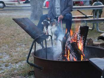 Fort Pickens Campground: Loop ECamping0.1 mi
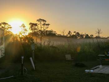 Fort Pickens Campground: Loop CCamping0.1 mi
- Gulf Islands National Seashore, West Santa Rosa Island, Ft. Pickens: Gulf Islands National Seashore, Ft. PickensBeach0.9 mi
- Cycle PathHiking2.2 mi
- Pensacola Beach: Gulf Islands National Seashore, West Santa Rosa IslandBeach5.7 mi
- Florida National Scenic Trail - Panhandle RegionHiking5.7 mi
 Big Lagoon State ParkState parkPhoto: Ebyabe, CC BY-SA 3.0 (via Wikimedia Commons)8.2 mi
 Tarkiln Bayou Preserve State ParkState parkPhoto: Ebyabe, CC BY-SA 3.0 (via Wikimedia Commons)9.8 mi
Source: Roamze catalog (indexable pages within 10 miles, PostGIS distance)
- Fort Pickens Campground: Loop ECamping · Next door
- Fort Pickens Campground: Loop CCamping · Next door
- Fort Pickens Campground: Loop BCamping · Next door
- Fort Pickens Campground: Loop DCamping · Next door
- Fort Pickens Campground: Loop ACamping · Next door
 Scout Camp AreaCamping · ~4 min drivePhoto: Breault, Public domain (via Wikimedia Commons)
 Naval Live Oaks Youth Group CampingCamping · ~15 min drivePhoto: Skye Marthaler, CC BY-SA 3.0 (via Wikimedia Commons)
 Gulf Breeze Rv ParkCamping · ~32 min drivePhoto: j2003af, CC BY-SA 3.0 (via Wikimedia Commons)
 Santa Rosa RV ResortCamping · ~42 min drivePhoto: j2003af, CC BY-SA 3.0 (via Wikimedia Commons)
 Dean CampsiteCamping · ~43 min drivePhoto: Navarre0107, Public domain (via Wikimedia Commons)
Also worth it near here
 FP Blackbird Marsh Nature TrailHiking · Next doorPhoto: gary_leavens, CC BY-SA 2.0 (via Flickr)
- Gulf Islands National Seashore, West Santa Rosa Island, Ft. Pickens: Gulf Islands National Seashore, Ft. PickensBeach · ~2 min drive
- Canoe/Kayak launchBoat launch · ~13 min drive
- PcolaRock climbing · ~17 min drive
Best time to visit Campground Loops B, C, D, E
Best months: October–May. Best months have typical highs of 55–85 °F, lows of 30 °F or warmer (32 °F where the station doesn't record snow), at most one snowy day and no more than 12 wet days.
Jan
61° / 42°
9 wet
Feb
64° / 45°
8 wet
Mar
69° / 50°
8 wet
Apr
75° / 57°
7 wet
May
82° / 65°
7 wet
Jun
87° / 72°
10 wet
Jul
89° / 74°
13 wet
Aug
89° / 73°
13 wet
Sep
86° / 70°
9 wet
Oct
79° / 60°
7 wet
Nov
70° / 49°
7 wet
Dec
64° / 45°
8 wet
Typical high / low (°F) and days with rain or snow, 1991–2020. Measured at Pensacola Forest Sherman Nas, FL, 3.1 mi away at 28 ft. This station doesn't record snowfall. Source: NOAA NCEI U.S. Climate Normals 1991–2020.
Facts about this campground
Campground Loops B, C, D, E
201 sites for group and RV and tent camping
Map and trail data © OpenStreetMap contributors
