Rosamond Johnson Beach: Gulf Islands National Seashore, East Perdido Key
About
Rosamond Johnson Beach is a stretch of sand on East Perdido Key within Gulf Islands National Seashore in Florida, about 5 miles from Pensacola Station. Spring and fall are the most comfortable times to visit. Typical averages from a nearby weather station show April highs around 75°F and October highs near 79°F, while July and August average highs of about 89°F with the most wet days of the year. Nearby, the Cycle Path is about 5.6 miles away. Fort Pickens Campground has several loops, including Loop D at about 6.4 miles and Loop A at about 6.7 miles.
Beach Details
Lifeguards
On duty (often seasonal)
Parking
None at the access
Fee
Entrance 8.00
Restrooms
Yes
Accessible access
Yes
As published by the managing agency. Lifeguards, fees and dog rules are often seasonal, so check posted signs before you swim.
Location
Rosamond Johnson Beach: Gulf Islands National Seashore, East Perdido Key
Florida
Data: Florida Department of Environmental Protection, Florida Coastal Management Program. Source metadata · Official page
Facts about this place
When to go
Best time to go: Oct–May. The mildest months here, with typical highs of 61–82°F and lows of 42–65°F.
Typical monthly averages (not a forecast) from the Pensacola Forest Sherman Nas, FL weather station, 4.9 mi away. High / low in °F.
- Jan61° high42° low
- Feb64° high45° low
- Mar69° high50° low
- Apr75° high57° low
- May82° high65° low
- Jun87° high72° low
- Jul89° high74° low
- Aug89° high73° low
- Sep86° high70° low
- Oct79° high60° low
- Nov70° high49° low
- Dec64° high45° low
Where it is
- Gulf Islands National Seashore · National Park Service
- Nearest town
- Pensacola Station, Florida · 4.9 mi
Source: NPS Land Resources boundaries; USGS GNIS populated places
Conditions
Active alerts for Gulf Islands National Seashore as of Oct 9, 2026:
Hurricane Isaias Closures Mississippi
Park Closure · posted Oct 8, 2026
Hurricane Isaias Closures Florida
Park Closure · posted Oct 8, 2026
Caution · posted Aug 24, 2026
Information · posted Aug 24, 2026
Information · posted Aug 24, 2026
Road workers on Park Road in Davis Bayou
Caution · posted Aug 24, 2026
Park Closure · posted Aug 24, 2026
Source: NPS Alerts API
Nearby
- Cycle PathHiking5.6 mi
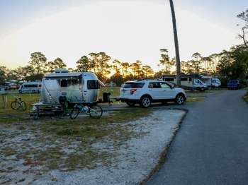 Fort Pickens Campground: Loop DCamping6.4 mi
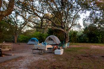 Fort Pickens Campground: Loop BCamping6.4 mi
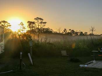 Fort Pickens Campground: Loop CCamping6.4 mi
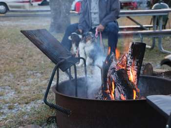 Fort Pickens Campground: Loop ECamping6.4 mi
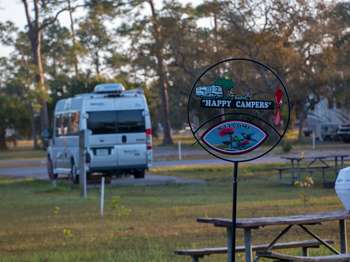 Fort Pickens Campground: Loop ACamping6.7 mi
Source: Roamze catalog (indexable pages within 10 miles, PostGIS distance)
Is Rosamond Johnson Beach: Gulf Islands National Seashore, East Perdido Key open right now?
Closure in the area
There's a closure order in Gulf Islands National Seashore. It doesn't name Rosamond Johnson Beach: Gulf Islands National Seashore, East Perdido Key, so check the source for the area it covers (2 listed).
Hurricane Isaias Closures Florida
Park closure covering Gulf Islands National Seashore · NPS · Gulf Islands National Seashore
Battery 234 Loop Road Closure
Park closure covering Gulf Islands National Seashore · NPS · Gulf Islands National Seashore
Rip Current Status
Park alert covering Gulf Islands National Seashore · NPS · Gulf Islands National Seashore
Road workers on Park Road in Davis Bayou
Park alert covering Gulf Islands National Seashore · NPS · Gulf Islands National Seashore
As of · Source: NPS · Gulf Islands National Seashore. Agencies don't list every closure — check before you go.
Best time to visit Rosamond Johnson Beach: Gulf Islands National Seashore, East Perdido Key
Best months: October–May. Best months have typical highs of 55–85 °F, lows of 30 °F or warmer (32 °F where the station doesn't record snow), at most one snowy day and no more than 12 wet days.
Jan
61° / 42°
9 wet
Feb
64° / 45°
8 wet
Mar
69° / 50°
8 wet
Apr
75° / 57°
7 wet
May
82° / 65°
7 wet
Jun
87° / 72°
10 wet
Jul
89° / 74°
13 wet
Aug
89° / 73°
13 wet
Sep
86° / 70°
9 wet
Oct
79° / 60°
7 wet
Nov
70° / 49°
7 wet
Dec
64° / 45°
8 wet
Typical high / low (°F) and days with rain or snow, 1991–2020. Measured at Pensacola Forest Sherman Nas, FL, 4.9 mi away at 28 ft. We don't have this place's elevation, so higher spots nearby can run cooler. This station doesn't record snowfall. Source: NOAA NCEI U.S. Climate Normals 1991–2020.
