Bald Mountain
- 1,101 ft
- summit
- 2
- ways up
- Apr–Oct
- best months
Bald Mountain is a summit in Connecticut, rising to 1,101 feet about 1.8 miles from the town of Somers. The Bald Mountain White Trail and Bald Mountain Red Trail both start within a quarter mile of the top, and the Bald Mountain Green Trail is about 0.8 miles away, so the mountain works well as a base for a short outing or a longer day of hiking on several of its trails. Late spring and early fall are the most comfortable times to go. Typical averages from a nearby weather station in Staffordville show May highs around 68°F and September highs around 73°F, with July the warmest month at about 81°F. That station sits roughly 365 feet lower than the summit, so temperatures on top run a little cooler. Other options close by include the Perkins Mtn Orange Trail and Lakeside Trail, both about 1.8 miles away. Paddlers can reach the Scantic River, about 3.3 miles off, and climbers can head to Battleship Rock in Massachusetts, about 9 miles away.
Conditions and forecast
Daily highs and lows, wind and the chance of precipitation at the summit and route start for the next 7 days, from the Open-Meteo model.
- Summit elevation
- 1,101 ft
Elevation from USGS 3D Elevation Program terrain data (about 10 m resolution).
- Bald Mountain White TrailEasyabout 207 ft of climbing0.9 mi
- Bald Mountain Red TrailEasyabout 276 ft of climbing2.4 mi
Compare the routes Bald Mountain White Trail Bald Mountain Red Trail Climbing About 207 ft About 276 ft Round trip 0.9 mi 2.4 mi Difficulty Easy Easy Terrain Hike Hike Map © Mapbox © OpenStreetMap contributors Questions about Bald Mountain
How tall is Bald Mountain?
1,101 ft (336 m).
How many routes go to the summit of Bald Mountain?
2: Bald Mountain White Trail and Bald Mountain Red Trail.
What is the shortest route up Bald Mountain?
Bald Mountain White Trail, about 0.9 mi.
- The Pinnacle928 ft · Connecticut1 route0.9 mi away
- Perkins Mountain989 ft · Connecticut2 routes2.2 mi away
 Soapstone Mountain1,073 ft · Connecticut1 route2.3 mi awayPhoto: Morrowlong, CC BY-SA 3.0 (via Wikimedia Commons)
 Peaked Mountain1,217 ft · Massachusetts2 routes5.3 mi awayPhoto: John Phelan, CC BY-SA 3.0 (via Wikimedia Commons)
- Box Hill852 ft · Connecticut1 route13 mi away
- Leadmine Mountain967 ft · Massachusetts1 route16 mi away
- Bald Mountain White TrailHiking0.2 mi
- Bald Mountain Red TrailHiking0.2 mi
- Bald Mountain Green TrailHiking0.8 mi
 Perkins Mtn Orange TrailHikingPhoto: randomduck, CC BY-SA 2.0 (via Flickr)1.8 mi
- Lakeside TrailHikingPhoto: randomduck, CC BY-SA 2.0 (via Flickr)1.8 mi
 Scantic RiverCanoeingPhoto: John Phelan, CC BY-SA 3.0 (via Wikimedia Commons)3.3 mi
- Middle RiverCanoeing4.5 mi
- Battleship RockRock climbing9.1 mi
Source: Roamze catalog (indexable pages within 10 miles, PostGIS distance)
- Soapstone MountainSummit · ~4 min drivePhoto: Morrowlong, CC BY-SA 3.0 (via Wikimedia Commons)
- Peaked MountainSummit · ~9 min drivePhoto: John Phelan, CC BY-SA 3.0 (via Wikimedia Commons)
 Fox HillSummit · ~16 min drivePhoto: Elipongo, Public domain (via Wikimedia Commons)
 Meeting House HillSummit · ~21 min drivePhoto: John Phelan, CC BY-SA 3.0 (via Wikimedia Commons)
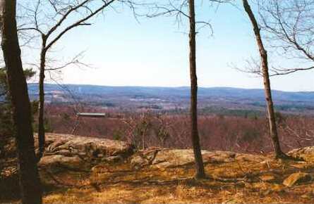 Provin MountainSummit · ~28 min drivePhoto: 5ju989nfhs50 at English Wikipedia, CC BY 3.0 (via Wikimedia Commons)
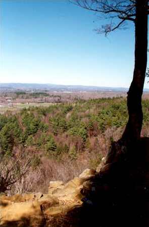 West Suffield MountainSummit · ~28 min drivePhoto: 5ju989nfhs50 at English Wikipedia, CC BY 3.0 (via Wikimedia Commons)
 Peak MountainSummit · ~29 min drivePhoto: 5ju989nfhs50 at English Wikipedia, CC BY 3.0 (via Wikimedia Commons)
 Hatchett HillSummit · ~31 min drivePhoto: 5ju989nfhs50 at English Wikipedia, CC BY 3.0 (via Wikimedia Commons)
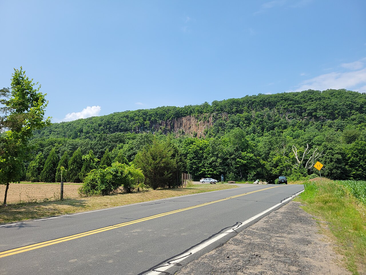 Manitook MountainSummit · ~32 min drivePhoto: John Phelan, CC BY 4.0 (via Wikimedia Commons)
 Mount TomSummit · ~36 min drivePhoto: Creator:Thomas Charles Farrer, Public domain (via Wikimedia Commons)
Best time to visit Bald Mountain
Best months: April–October. Best months have typical highs of 55–85 °F, lows of 30 °F or warmer (32 °F where the station doesn't record snow), at most one snowy day and no more than 12 wet days.
Jan
34° / 14°
Feb
36° / 15°
Mar
44° / 22°
Apr
57° / 33°
May
68° / 43°
Jun
76° / 53°
Jul
81° / 59°
Aug
79° / 58°
Sep
73° / 51°
Oct
60° / 39°
Nov
49° / 30°
Dec
39° / 21°
Typical high / low (°F) and days with rain or snow, 1991–2020. Measured at Staffordville, CT, 7.7 mi away at 736 ft. This station doesn't record snowfall. Source: NOAA NCEI U.S. Climate Normals 1991–2020.
