Bald Mountain Red Trail
- 2.4 mi
- loop
- 276 ft
- climb
- 1,100 ft
- high point
- Loop
- route
- Apr–Oct
- best months
Bald Mountain Red Trail is a 2.43-mile loop in Connecticut with 2,144 feet of elevation gain and 2,427 feet of elevation loss.
Best time to go · Apr–Oct
Best time to visit Bald Mountain Red Trail
Best months: April–October. Best months have typical highs of 55–85 °F, lows of 30 °F or warmer (32 °F where the station doesn't record snow), at most one snowy day and no more than 12 wet days.
Jan
34° / 14°
Feb
36° / 15°
Mar
44° / 22°
Apr
57° / 33°
May
68° / 43°
Jun
76° / 53°
Jul
81° / 59°
Aug
79° / 58°
Sep
73° / 51°
Oct
60° / 39°
Nov
49° / 30°
Dec
39° / 21°
Typical high / low (°F) and days with rain or snow, 1991–2020. Measured at Staffordville, CT, 7.9 mi away at 736 ft. This station doesn't record snowfall. Source: NOAA NCEI U.S. Climate Normals 1991–2020.
Keep exploring — more trails worth the drive
 Photo: randomduck, CC BY-SA 2.0 (via Flickr)
Perkins Mtn Orange Trail
~3 min drive
0.66-mile point-to-point trail on Perkins Mountain in Connecticut
Photo: randomduck, CC BY-SA 2.0 (via Flickr)Lakeside Trail
~3 min drive
1.02-mile loop trail in Connecticut with 500 ft elevation gain.
 Photo: randomduck, CC BY-SA 2.0 (via Flickr)
Blue-Yellow Bypass Trail
~4 min drive
0.43-mile point-to-point trail in Connecticut with 75 ft gain.
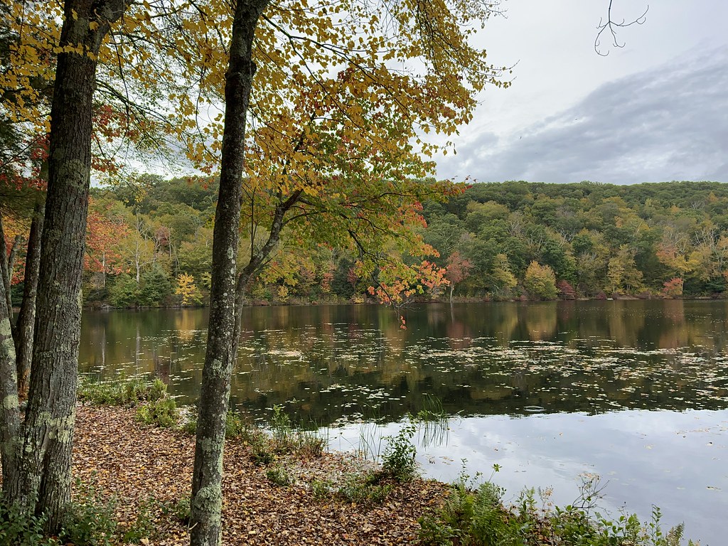 Photo: randomduck, CC BY-SA 2.0 (via Flickr)
Lower Trail
~4 min drive
0.31-mile point-to-point trail in Connecticut with 129 ft gain
Photo: randomduck, CC BY-SA 2.0 (via Flickr)Old Shenipsit Trail
~4 min drive
0.70-mile point-to-point trail in Connecticut with 210 ft gain and 344 ft loss.
Photo: randomduck, CC BY-SA 2.0 (via Flickr)Perkins Mtn Red Trail
~4 min drive
0.34-mile point-to-point trail in Connecticut with 30 ft gain.
 Photo: randomduck, CC BY-SA 2.0 (via Flickr)
Shenipsit Forest Trail
~4 min drive
0.95-mile out-and-back trail in Connecticut with 230 ft gain.
 Photo: clembore, CC BY-SA 2.0 (via Flickr)
Kathy's Trail
~8 min drive
Kathy's Trail is a 0.46-mile point-to-point trail in Massachusetts with 51 ft of elevation gain.
HIKE
Bald Mountain White Trail
Next door
0.91-mile loop on Bald Mountain in Connecticut with 642 ft gain
HIKE
Bald Mountain Green Trail
~2 min drive
Short point-to-point woodland walk on Bald Mountain in Connecticut.

Route details
- Distance
- 2.4 mi
- Climbing
- About 276 ft
- Summit
- 1,101 ft
- Difficulty
- Easy
- Time
- About 2 hours
Other routes up Bald Mountain
Questions about this route
How long is the Bald Mountain Red Trail on Bald Mountain?
About 2.4 mi.
How much elevation gain is on the Bald Mountain Red Trail?
About 276 ft of climbing round trip.
How hard is the Bald Mountain Red Trail?
It is rated easy.
How long does the Bald Mountain Red Trail take?
About 2 hours round trip.
How many routes go up Bald Mountain?
2: Bald Mountain White Trail and Bald Mountain Red Trail.
Conditions and forecast on Bald Mountain
Daily highs and lows, wind and the chance of precipitation at the summit and route start for the next 7 days, from the Open-Meteo model.
Map and trail data © OpenStreetMap contributors
