Camp Shalom
Campground
Campground · 4.6 mi from the trail
Yellow Trail is a short, easy hike in Connecticut, about 1.5 miles from the town of Simsbury. The route is 1.8 miles long, with a one-way elevation gain of 305 feet, and it rises from about 630 feet to about 686 feet. The steepest stretch comes early, around 0.16 miles in, with a grade of about 9 percent. Late spring and early fall are the most comfortable times to go. Typical averages from a nearby weather station in Barkhamsted show May highs around 70°F and September highs around 75°F, with July the warmest month at about 84°F. Bikes are not allowed on this trail. Several other trails sit close by, including the Purple Trail about 0.6 miles away and the Red Trail about 0.7 miles away. Climbers can find Firetown Road and Crown Jewel about 6 miles off, and paddlers can head to Stony Brook, roughly 8 miles away.
Camp Shalom
Campground
 If it rainsDaderot, Public domain · Wikimedia Commons
A. Everett Austin House
Museum
Places © OpenStreetMap contributors · Photos: Daderot, Public domain (commons)
More in MiddletownBest months: April and June–October. Best months have typical highs of 55–85 °F, lows of 30 °F or warmer (32 °F where the station doesn't record snow), at most one snowy day and no more than 12 wet days.
Jan
34° / 14°
11 wet
Feb
37° / 15°
9 wet
Mar
46° / 24°
10 wet
Apr
59° / 35°
11 wet
May
70° / 45°
13 wet
Jun
79° / 55°
12 wet
Jul
84° / 60°
12 wet
Aug
82° / 58°
10 wet
Sep
75° / 51°
9 wet
Oct
63° / 40°
11 wet
Nov
50° / 30°
10 wet
Dec
39° / 21°
11 wet
Typical high / low (°F) and days with rain or snow, 1991–2020. Measured at Barkhamsted, CT, 10.3 mi away at 710 ft. This station doesn't record snowfall. Source: NOAA NCEI U.S. Climate Normals 1991–2020.
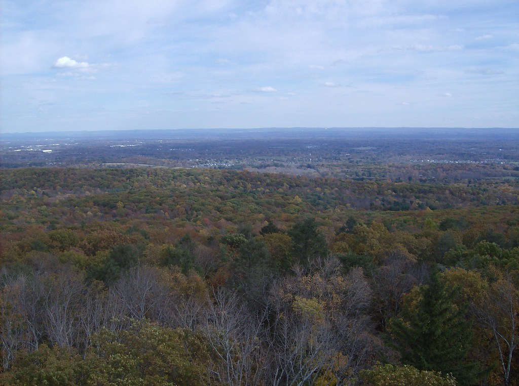 Photo: David_Morris, CC BY 2.0 (via Flickr)
Green Trail
~2 min drive
Green Trail is a 0.35-mile point-to-point trail in Connecticut.
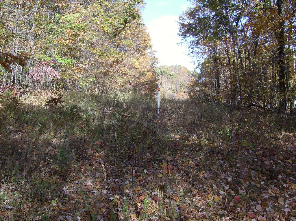 Photo: David_Morris, CC BY 2.0 (via Flickr)
White Trail
~4 min drive
0.40-mile loop trail in Connecticut with 72 ft elevation gain.
HIKE
Orange-Blue Trail
~8 min drive
0.71-mile point-to-point trail in Connecticut with 387 ft gain
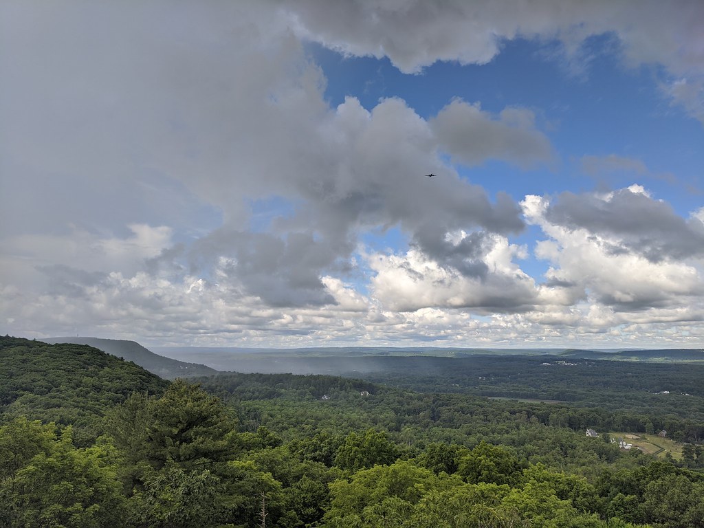 Photo: dddaag, CC BY 2.0 (via Flickr)
Aloha Trail
~2 min drive
0.55-mile loop trail in Connecticut with 87 ft elevation gain
HIKE
Purple Trail
~1 min drive
0.47-mile point-to-point trail in Connecticut with 300 ft elevation loss.
 Photo: David_Morris, CC BY 2.0 (via Flickr)
Talcott Mt Bypass Trail
~5 min drive
1.32-mile point-to-point trail in Connecticut with 229 ft gain and 288 ft loss.
Photo: David_Morris, CC BY 2.0 (via Flickr)Auer Farm Connector Trail
~5 min drive
1.04-mile point-to-point trail in Connecticut with 303 ft gain
 Photo: ianml, CC BY-SA 2.0 (via Flickr)
White Trail
~8 min drive
Quick point-to-point Connecticut trail ideal for beginners.
 Photo: dddaag, CC BY 2.0 (via Flickr)
North Trail
~8 min drive
North Trail is a 3.54-mile point-to-point trail in Connecticut.
Photo: dddaag, CC BY 2.0 (via Flickr)Spring Pond Trail
~8 min drive
0.42-mile point-to-point trail with 127 ft gain in Connecticut
Map and trail data © OpenStreetMap contributors

