Polaris
Campground
Campground · 1.5 mi from the trail
Town Hill Road is a short, easy hike in Connecticut, about half a mile long and rated easy. It starts at roughly 855 feet and ends at about 876 feet, with a total climb of 62 feet and a small drop of 42 feet along the way. The route is flat for most of it, and the steepest stretch comes early on, around 0.08 miles in, with a grade of about 4 percent. The nearest town is Tolles, about a mile away. The most comfortable months for a visit are late spring and early fall. Typical averages from a nearby weather station in Burlington put May highs around 70°F and September highs around 75°F, with July the warmest month at about 84°F. Several other spots sit within a few miles. The Whitestone Cliffs Trail and the climbing areas Right Side and Upper Tier are all about 2.8 miles away. The Naugatuck River, a canoeing route, is about 3.5 miles off.
Polaris
Campground
 If it rainsJohn Phelan, CC BY 4.0 · Wikimedia Commons
Industry museum in Terryville, Connecticut
Places © OpenStreetMap contributors · Photos: John Phelan, CC BY 4.0 (commons)
More in MiddletownBest months: April–October. Best months have typical highs of 55–85 °F, lows of 30 °F or warmer (32 °F where the station doesn't record snow), at most one snowy day and no more than 12 wet days.
Jan
36° / 17°
10 wet · 4 snow
Feb
39° / 18°
9 wet · 3 snow
Mar
47° / 26°
10 wet · 2 snow
Apr
59° / 36°
11 wet
May
70° / 47°
12 wet
Jun
78° / 57°
11 wet
Jul
84° / 62°
11 wet
Aug
82° / 60°
10 wet
Sep
75° / 53°
9 wet
Oct
63° / 41°
10 wet
Nov
52° / 32°
9 wet
Dec
41° / 24°
11 wet · 2 snow
Typical high / low (°F) and days with rain or snow, 1991–2020. Measured at Burlington, CT, 10.7 mi away at 505 ft. Source: NOAA NCEI U.S. Climate Normals 1991–2020.
 Photo: H. Morrow Long, CC BY-SA 3.0 (via Wikimedia Commons)
Whitestone Cliffs Trail
~5 min drive
1.36-mile loop with 372 ft elevation gain in Connecticut
 Photo: H. Morrow Long, CC BY-SA 3.0 (via Wikimedia Commons)
Mattatuck Trail
~6 min drive
3.30-mile out-and-back trail in Connecticut with 1,374 ft elevation gain.
 Photo: H. Morrow Long, CC BY-SA 3.0 (via Wikimedia Commons)
Branch Brook Trail
~5 min drive
0.79-mile point-to-point trail in Connecticut with 293 ft gain.
 Photo: H. Morrow Long, CC BY-SA 3.0 (via Wikimedia Commons)
Hancock Brook Trail
~7 min drive
2.58-mile loop trail in Connecticut with 1,391 ft elevation gain.
 Photo: H. Morrow Long, CC BY-SA 3.0 (via Wikimedia Commons)
Jericho Trail
~6 min drive
3.25-mile point-to-point trail in Connecticut with 878 ft gain and 1,052 ft loss.
HIKE
Blue-Yellow Trail
~8 min drive
8.78-mile point-to-point Connecticut trail through woodland terrain.
 Photo: Morrowlong, CC BY-SA 4.0 (via Wikimedia Commons)
Nature Center
~10 min drive
2.52-mile point-to-point trail in Connecticut with 489 ft gain and 526 ft loss.
HIKE
Tunxis Trail
~9 min drive
A 45-mile point-to-point Connecticut trail through forests and highlands.
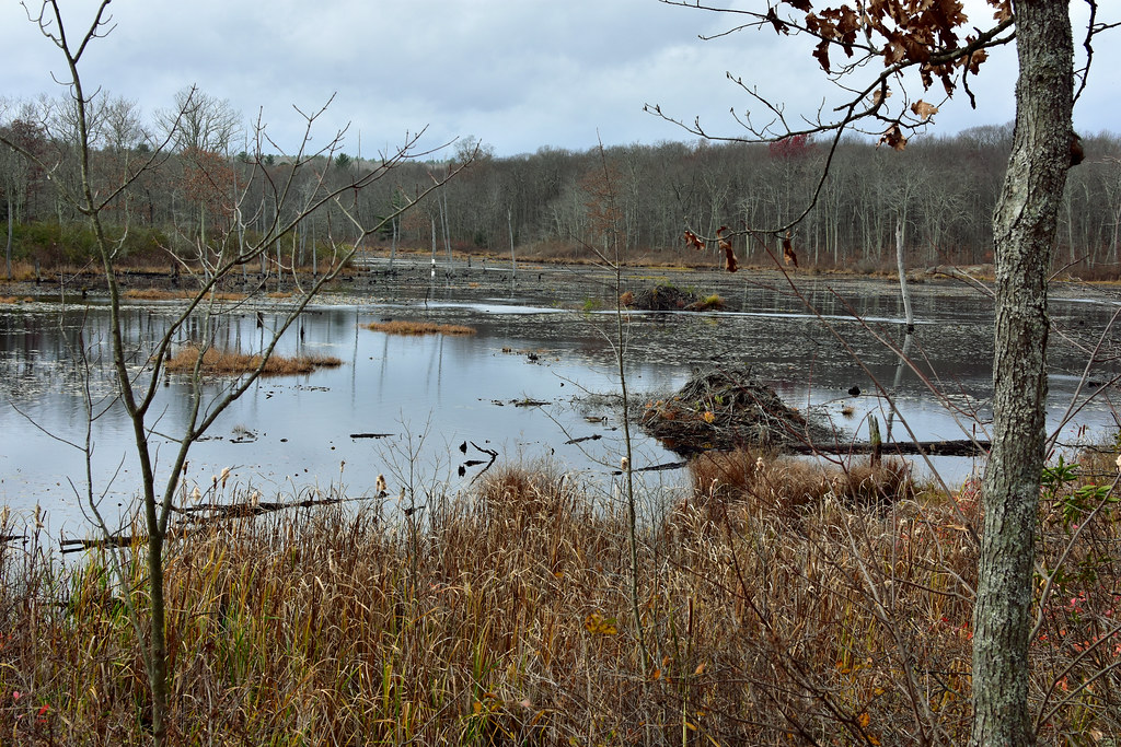 Photo: pedrik, CC BY 2.0 (via Flickr)
Crosscut Trail
~10 min drive
Brief point-to-point connector trail through Connecticut forest.
Photo: Morrowlong, CC BY-SA 4.0 (via Wikimedia Commons)Purple Trail
~11 min drive
A short point-to-point trail ideal for quick Connecticut hikes.
Map and trail data © OpenStreetMap contributors

