Nickerson Park
Campground
Campground · 2.8 mi from the trail
The Richard Hyde Trail is a short, easy hike in Connecticut, about 0.74 miles long and rising about 65 feet from start to finish. It is a point-to-point route, and the trail's highest point is 601 feet, with the steepest stretch at about 0.64 miles in, where the grade reaches 11 percent. The nearest town is Warrenville, about 1.5 miles away. Late spring and early fall are the most comfortable times to go. Typical averages from a nearby weather station in Storrs show May highs around 68°F and September highs around 73°F, with July the warmest month at about 80°F. The trail sits close to several other routes. The Friedman Forest Trail is just 0.1 mile away, and the Pinkham Red and Pinkham Yellow trails are within about half a mile. For an overnight stay, Charlie Brown Campground is about 3.2 miles off.
Nickerson Park
Campground
Midway Restaurant & Pizza
Restaurant
 If it rainsMichael Rodriguez, CC BY-SA 4.0 · Wikimedia Commons
Places © OpenStreetMap contributors · Photos: Michael Rodriguez, CC BY-SA 4.0 (commons)
More in DanielsonBest months: April and June–October. Best months have typical highs of 55–85 °F, lows of 30 °F or warmer (32 °F where the station doesn't record snow), at most one snowy day and no more than 12 wet days.
Jan
35° / 19°
10 wet
Feb
37° / 20°
9 wet
Mar
45° / 28°
10 wet
Apr
57° / 38°
11 wet
May
68° / 48°
13 wet
Jun
76° / 57°
11 wet
Jul
80° / 63°
10 wet
Aug
79° / 61°
9 wet
Sep
73° / 54°
9 wet
Oct
61° / 43°
10 wet
Nov
50° / 34°
9 wet
Dec
40° / 25°
10 wet
Typical high / low (°F) and days with rain or snow, 1991–2020. Measured at Storrs, CT, 5.4 mi away at 665 ft. This station doesn't record snowfall. Source: NOAA NCEI U.S. Climate Normals 1991–2020.
 Photo: jjbers, CC BY 2.0 (via Flickr)
CCC Trail
~5 min drive
2.2-mile out-and-back hike in Connecticut with 550 ft elevation gain
 Photo: wolfsavard, CC BY 2.0 (via Flickr)
Nipmuck Trail - West Branch
~9 min drive
5.19-mile point-to-point trail in Connecticut with 693 ft gain.
HIKE
Natchaug Trail
~9 min drive
Natchaug Trail is a 17.31-mile point-to-point trail in Connecticut with 1,493 ft of elevation gain.
 Photo: jjbers, CC BY 2.0 (via Flickr)
Ccc Trail
~6 min drive
0.49-mile out-and-back trail in Connecticut with 133 ft gain
HIKE
Nipmuck Trail - East Branch
~9 min drive
A 5.56-mile point-to-point forest hike through Connecticut's Nipmuck region.
Photo: jjbers, CC BY 2.0 (via Flickr)Natchaug Forest Trail
~7 min drive
2.24-mile out-and-back hike in Connecticut with 403 ft of elevation gain
 Photo: jjbers, CC BY 2.0 (via Flickr)
Goodwin Heritage Trail
~8 min drive
0.92-mile point-to-point trail in Connecticut with 103 ft gain.
 Photo: jjbers, CC BY 2.0 (via Flickr)
Yellow Trail
~8 min drive
Short point-to-point trail under a mile in Connecticut.
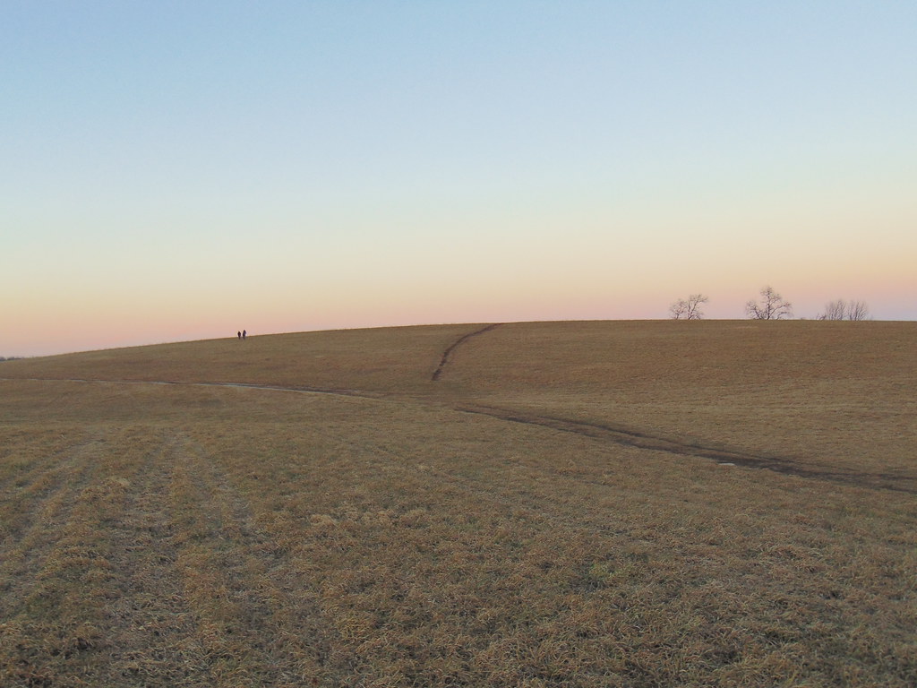 Photo: jjbers, CC BY 2.0 (via Flickr)
Nipmuck Trail
~9 min drive
A 28.52-mile point-to-point Connecticut trail through forested terrain.
Photo: jjbers, CC BY 2.0 (via Flickr)Fenton River Trai
~9 min drive
1.44-mile point-to-point trail in Connecticut with 475 ft gain
Map and trail data © OpenStreetMap contributors
