Capmpsite Lean to #11
Campground
Campground · 5.0 mi from the trail
Red Trail is a 0.7-mile loop in Connecticut, about 2 miles from the village of Branchville. It's a short, easy outing, with a total elevation gain of 74 feet and a climb of about 74 feet one way. The trail runs between a low point of 571 feet and a high of 657 feet, and the steepest section comes at about 0.34 miles in, where the grade reaches 11%. Late spring and early fall are the most comfortable times to go. Typical averages from a nearby weather station run to highs around 69°F in May and 74°F in September, with July warming to about 82°F. That station sits roughly 200 feet lower than the trail's high point, so temperatures up top run a little cooler. The trail takes about half an hour to complete. The Orange Trail lies less than a mile away, and the Ridgefield Rail Trail is about 2.3 miles off. For time on the water, the Norwalk River is about 2.4 miles away, and the Great Ledge climbing area is about 5 miles from the trail.
Capmpsite Lean to #11
Campground
 If it rainsJllm06, CC BY-SA 3.0 · Wikimedia Commons
Woodcock Nature Center
Museum
Nature center in Wilton, Connecticut, US
Places © OpenStreetMap contributors · Photos: Jllm06, CC BY-SA 3.0 (commons)
More in Mount KiscoNot on Roamze yet. Their page has how to reach them.
Best months: April. Best months have typical highs of 55–85 °F, lows of 30 °F or warmer (32 °F where the station doesn't record snow), at most one snowy day and no more than 12 wet days.
Jan
36° / 18°
11 wet
Feb
39° / 20°
10 wet
Mar
47° / 27°
11 wet
Apr
59° / 37°
12 wet
May
69° / 46°
14 wet
Jun
78° / 56°
13 wet
Jul
82° / 62°
13 wet
Aug
80° / 60°
14 wet
Sep
74° / 52°
14 wet
Oct
62° / 41°
13 wet
Nov
51° / 31°
11 wet
Dec
41° / 24°
12 wet
Typical high / low (°F) and days with rain or snow, 1991–2020. Measured at Danbury Muni Ap, CT, 8.4 mi away at 457 ft. This station doesn't record snowfall. Source: NOAA NCEI U.S. Climate Normals 1991–2020.
 Photo: CarbonNYC [in SF!], CC BY 2.0 (via Flickr)
Ridgefield Rail Trail
~4 min drive
4.5-mile out-and-back rail trail in Ridgefield, Connecticut with 965 ft elevation gain.
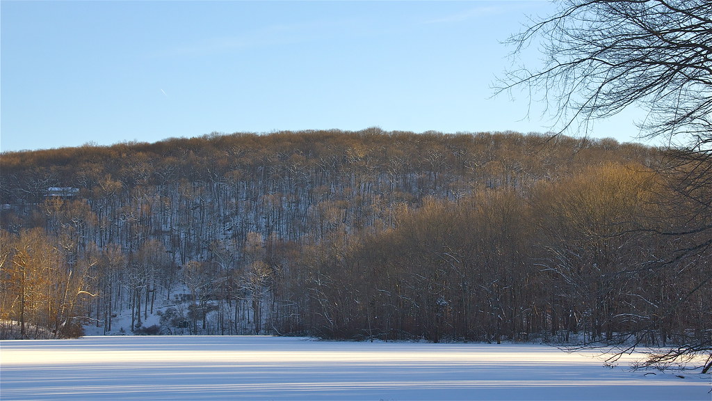 Photo: Chrisbkes, CC BY 2.0 (via Flickr)
Pierrepont Park Trail
~8 min drive
3.37-mile out-and-back hike in Pierrepont Park, Connecticut with 845 ft gain.
HIKE
Yellow Trail
~5 min drive
Yellow Trail is a 0.80-mile point-to-point trail in New York with 105 ft of elevation gain.
 Photo: Laxworld123, CC BY-SA 3.0 (via Wikimedia Commons)
The Jones Trail
~5 min drive
A short point-to-point trail perfect for a quick Connecticut hike.
HIKE
White Trail
~8 min drive
0.43-mile out-and-back trail in New York with 39 ft gain.
Photo: CarbonNYC [in SF!], CC BY 2.0 (via Flickr)Joan's Trail
~5 min drive
3.22-mile out-and-back hike in Connecticut with 551 ft elevation gain.
 Photo: muz4now, CC BY 2.0 (via Flickr)
Munro Trail
~6 min drive
3.3-mile out-and-back hike in Connecticut with 653 ft elevation gain
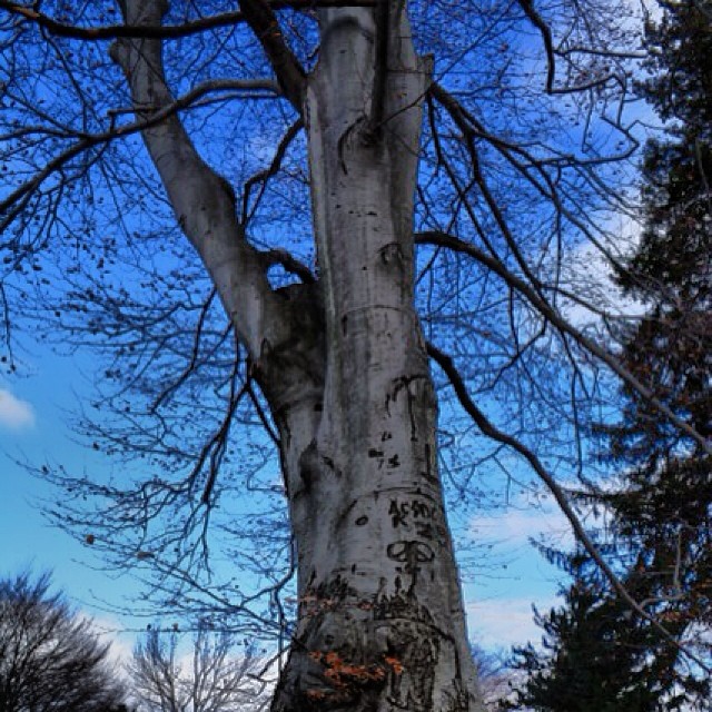 Photo: Mílton Jung, CC BY 2.0 (via Flickr)
Casey Lane Trail
~6 min drive
0.35-mile point-to-point trail in Connecticut with 44 ft gain.
Photo: muz4now, CC BY 2.0 (via Flickr)Pond Trail
~7 min drive
0.82-mile loop around a pond in Connecticut.
HIKE
Purple Trail
Next door
A short point-to-point trail through Connecticut woodland.
Map and trail data © OpenStreetMap contributors
