Narragansett Council, Boy Scouts of America, Cub World
Campground
Campground · 1.7 mi from the trail
Quaddick Trail is a 1.4-mile loop hike in Connecticut, set in the Quaddick area about 1.4 miles from the town of Quaddick. The trail is rated easy and climbs from about 503 feet to 505 feet, with the steepest stretch of about 12 percent grade coming at roughly half a mile into the route. It is a short outing, with a total elevation gain of about 70 feet. For comfortable weather, late spring through early fall works well. Typical averages from the W Thompson Lake weather station, about 4.8 miles away, show September highs around 73°F with lows near 51°F, and May highs around 69°F. The station sits about 145 feet lower than the trail's high point, so temperatures on the loop may run slightly cooler. Several other outings lie close by. The Inner Border Trail is about 1.6 miles away and the Border Trail about 2 miles. The George Washington Orange Trail is also about 2 miles off. Paddlers can reach the Fivemile River, about 2.5 miles away.
Narragansett Council, Boy Scouts of America, Cub World
Campground
 If it rainsMarcbela (Marc N. Belanger), Public domain · Wikimedia Commons
Clara Barton Homestead
Museum
Homestead in Oxford, Massachusetts
Places © OpenStreetMap contributors · Photos: Marcbela (Marc N. Belanger), Public domain (commons)
More in DanielsonBest months: April–October. Best months have typical highs of 55–85 °F, lows of 30 °F or warmer (32 °F where the station doesn't record snow), at most one snowy day and no more than 12 wet days.
Jan
35° / 15°
11 wet · 4 snow
Feb
38° / 16°
10 wet · 3 snow
Mar
46° / 24°
11 wet · 2 snow
Apr
58° / 34°
11 wet
May
69° / 45°
12 wet
Jun
76° / 54°
11 wet
Jul
82° / 60°
11 wet
Aug
80° / 58°
10 wet
Sep
73° / 51°
9 wet
Oct
61° / 38°
10 wet
Nov
50° / 30°
10 wet · 1 snow
Dec
40° / 22°
11 wet · 2 snow
Typical high / low (°F) and days with rain or snow, 1991–2020. Measured at W Thompson Lake, CT, 4.8 mi away at 360 ft. Source: NOAA NCEI U.S. Climate Normals 1991–2020.
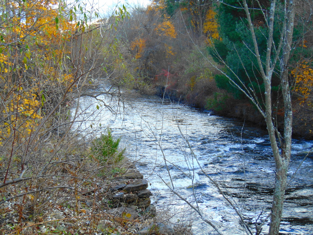 Photo: jjbers, CC BY 2.0 (via Flickr)
Woodland Walk Trail
~8 min drive
Easy woodland point-to-point trail perfect for a quick nature walk.
 Photo: Magicpiano, CC BY-SA 3.0 (via Wikimedia Commons)
Quinebaug River Trail
~9 min drive
Scenic 5-mile riverside point-to-point hike along the Quinebaug River.
HIKE
Southern New England Trunkline Trail
~8 min drive
21.68-mile out-and-back trail in Massachusetts with 1,572 ft elevation gain
 Photo: Magicpiano, CC BY-SA 3.0 (via Wikimedia Commons)
Lost Trail
~8 min drive
A short point-to-point woodland walk through Connecticut forest.
HIKE
George Washington Orange Trail
~4 min drive
5.06-mile out-and-back trail in Rhode Island with 563 ft elevation gain.
Photo: Magicpiano, CC BY-SA 3.0 (via Wikimedia Commons)Shoreline Trail
~9 min drive
A scenic 4.32-mile point-to-point coastal hike in Connecticut.
HIKE
Center Trail
~4 min drive
6.52-mile out-and-back hike in Rhode Island with 616 ft elevation gain.
Photo: jjbers, CC BY 2.0 (via Flickr)Ravenelle Ponds Loop
~9 min drive
1.51-mile loop trail in Connecticut with 155 ft gain and 286 ft loss.
 Photo: ian02054, CC BY 2.0 (via Flickr)
Grand Trunk Trail
~10 min drive
2.04-mile out-and-back trail in Massachusetts with 221 ft elevation gain
Photo: Magicpiano, CC BY-SA 3.0 (via Wikimedia Commons)Loop Trail
~11 min drive
0.37-mile point-to-point trail in Connecticut with 40 ft gain
Map and trail data © OpenStreetMap contributors

