Camp CONNRI
Campground
Campground · 2.7 mi from the trail
Julia's Trail is a short, easy hike of about 1.1 miles in Fenton - Ruby Park and Wildlife Preserve in Connecticut. The route rises from about 598 feet to about 606 feet, with a climb of 73 feet one way, and the steepest stretch comes within the first 0.07 miles at about 8%. Late spring through early fall is the most comfortable time to go. Typical averages from the nearby Storrs weather station run from highs around 68°F in May to about 73°F in September, with July peaking near 80°F. Several other trails sit close by. Taylor Pond Trail is about 0.2 miles away, and Ruby Trail and Weigold Trail are each about 0.3 miles off. For paddling, the Still River is roughly 7.3 miles away.
Camp CONNRI
Campground
 If it rainsTopshelvr, CC BY-SA 4.0 · Wikimedia Commons
Places © OpenStreetMap contributors · Photos: Topshelvr, CC BY-SA 4.0 (commons)
More in DanielsonBest months: April and June–October. Best months have typical highs of 55–85 °F, lows of 30 °F or warmer (32 °F where the station doesn't record snow), at most one snowy day and no more than 12 wet days.
Jan
35° / 19°
10 wet
Feb
37° / 20°
9 wet
Mar
45° / 28°
10 wet
Apr
57° / 38°
11 wet
May
68° / 48°
13 wet
Jun
76° / 57°
11 wet
Jul
80° / 63°
10 wet
Aug
79° / 61°
9 wet
Sep
73° / 54°
9 wet
Oct
61° / 43°
10 wet
Nov
50° / 34°
9 wet
Dec
40° / 25°
10 wet
Typical high / low (°F) and days with rain or snow, 1991–2020. Measured at Storrs, CT, 7.3 mi away at 665 ft. This station doesn't record snowfall. Source: NOAA NCEI U.S. Climate Normals 1991–2020.
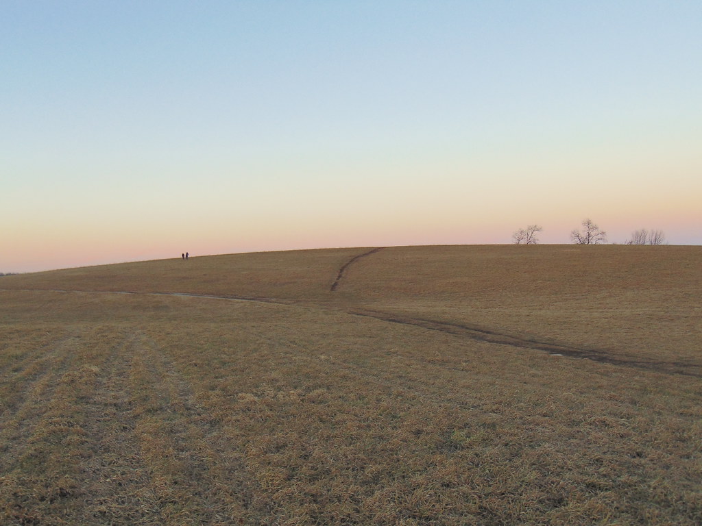 Photo: jjbers, CC BY 2.0 (via Flickr)
Nipmuck Trail
~8 min drive
A 28.52-mile point-to-point Connecticut trail through forested terrain.
HIKE
Natchaug Trail
~6 min drive
Natchaug Trail is a 17.31-mile point-to-point trail in Connecticut with 1,493 ft of elevation gain.
HIKE
Taylor Pond Trail
Next door
1.05-mile loop around Taylor Pond in Connecticut with 386 ft gain.
HIKE
Ruby Trail
Next door
Ruby Trail is a 1.17-mile loop in Connecticut with 357 ft of elevation gain.
HIKE
Weigold Trail
Next door
1-mile loop trail in Connecticut with 248 ft elevation gain.
HIKE
Langhammer Trail
Next door
1.16-mile loop trail in Connecticut with 134 ft elevation gain.
HIKE
West Murray Trail
~5 min drive
2.82-mile out-and-back trail in Connecticut with 429 ft elevation gain
HIKE
East Murray Trail
~5 min drive
2.4-mile out-and-back hike in Connecticut with 379 ft elevation gain.
HIKE
Uconn Loop Trail
~6 min drive
0.57-mile loop trail in Connecticut with 83 ft gain.
HIKE
Talmadge Spur Trail
~7 min drive
A short point-to-point connector trail through Connecticut woodland.
Map and trail data © OpenStreetMap contributors
