Heron Pond
- 0.6 mi
- one way
- 42 ft
- climb
- 1,005 ft
- high point
- Point to point
- route
- Jul–Oct
- best months
Heron Pond is a short, easy hike in Connecticut, about 0.6 miles long and rising about 42 feet from start to finish. It is a point-to-point route, and the highest point on the trail is about 1,005 feet, with the steepest stretch coming at roughly 0.38 miles in, where the grade reaches about 14 percent. The nearest town is East Morris, about 1.7 miles away. Late spring and early fall are the most comfortable times to go. Typical averages from a nearby weather station in Bakersville run to highs around 69°F in May and 72°F in September, while July highs average about 82°F. That station sits roughly 320 feet lower than the trail's high point, so temperatures on the pond run a little cooler. Heron Pond Ridge lies just 0.2 miles away, and Fawn Pond and Teal Pond are each about 0.3 miles off. For paddling, the Bantam River is about 2.6 miles away.
- Heron Pond RidgeHiking0.2 mi
- Fawn PondHiking0.3 mi
- Teal PondHiking0.3 mi
- Bantam RiverCanoeing2.6 mi
- Northfield Brook Lake Group SheltersCamping5 mi
- Shepaug RiverCanoeing6 mi
- Sunset BouldersRock climbing6.6 mi
- Mattatuck State Forest BoulderingRock climbing7.2 mi
Source: Roamze catalog (indexable pages within 10 miles, PostGIS distance)
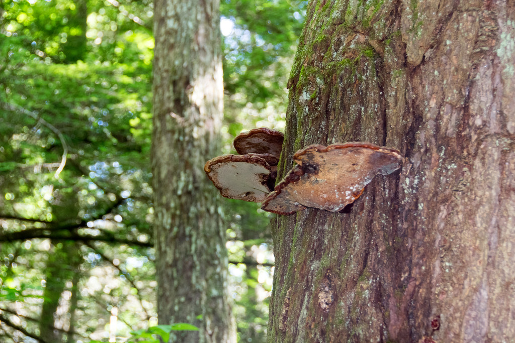 Mattatuck TrailHiking · ~2 min drivePhoto: Paul and Jill, CC BY 2.0 (via Flickr)
 Little Pond TrailHiking · ~2 min drivePhoto: Pedro Xing, CC0 (via Wikimedia Commons)
 Mattatuck TrailHiking · ~12 min drivePhoto: H. Morrow Long, CC BY-SA 3.0 (via Wikimedia Commons)
 Litchfield Community GreenwayHiking · ~4 min drivePhoto: Paul and Jill, CC BY 2.0 (via Flickr)
- Fawn PondHiking · Next door
 Branch Brook TrailHiking · ~12 min drivePhoto: H. Morrow Long, CC BY-SA 3.0 (via Wikimedia Commons)
- Tower TrailHiking · ~8 min drive
 Jericho TrailHiking · ~12 min drivePhoto: H. Morrow Long, CC BY-SA 3.0 (via Wikimedia Commons)
- Mohawk Forest TrailHiking · ~14 min drive
 Hay Field LoopHiking · ~14 min drivePhoto: Magicpiano, CC BY-SA 3.0 (via Wikimedia Commons)
Best time to visit Heron Pond
Best months: July–October. Best months have typical highs of 55–85 °F, lows of 30 °F or warmer (32 °F where the station doesn't record snow), at most one snowy day and no more than 12 wet days.
Jan
33° / 15°
12 wet
Feb
37° / 16°
10 wet
Mar
45° / 23°
12 wet
Apr
58° / 33°
13 wet
May
69° / 44°
14 wet
Jun
77° / 53°
13 wet
Jul
82° / 58°
12 wet
Aug
80° / 56°
11 wet
Sep
72° / 49°
10 wet
Oct
60° / 38°
12 wet
Nov
49° / 29°
11 wet
Dec
38° / 21°
13 wet
Typical high / low (°F) and days with rain or snow, 1991–2020. Measured at Bakersville, CT, 12.6 mi away at 686 ft. This station doesn't record snowfall. Source: NOAA NCEI U.S. Climate Normals 1991–2020.

Map and trail data © OpenStreetMap contributors
