Bantam River
- 5.1 mi
- distance
- 1,115 ft
- high point
- Jul–Oct
- best months
The Bantam River is a 5.1-mile paddling stretch near Litchfield, Connecticut, about 1.3 miles from the town of Grappaville. It flows year-round, and USGS models an average flow of about 109 cubic feet per second with a gradient of about 39.8 feet per mile. Summer is the most comfortable time to paddle. Typical averages from a nearby weather station in Bakersville show July highs around 82°F and lows near 58°F, while September cools to highs around 72°F. Several trails sit within a short drive, including the Litchfield Community Greenway about a mile away and the Little Pond Trail and Mattatuck Trail at about 1.2 miles. The Shepaug River, another paddling route, is roughly 4.9 miles off.
Local outfitters
- Collinsville Canoe & Kayak16 mi away
- I PADDLE NEW YORK44 mi away
Not on Roamze yet. Their page has how to reach them.
 Litchfield Community GreenwayHikingPhoto: Paul and Jill, CC BY 2.0 (via Flickr)1 mi
 Little Pond TrailHikingPhoto: Pedro Xing, CC0 (via Wikimedia Commons)1.2 mi
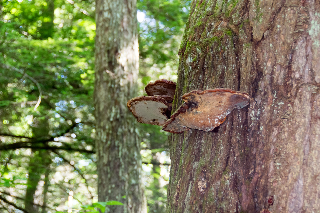 Mattatuck TrailHikingPhoto: Paul and Jill, CC BY 2.0 (via Flickr)1.2 mi
- Shepaug RiverCanoeing4.9 mi
- Northfield Brook Lake Group SheltersCamping7.5 mi
 Naugatuck RiverCanoeingPhoto: Morrow Long, CC BY-SA 3.0 (via Wikimedia Commons)8.7 mi
- SanitariumRock climbing8.7 mi
- Sunset BouldersRock climbing9.2 mi
Source: Roamze catalog (indexable pages within 10 miles, PostGIS distance)
- Naugatuck RiverCanoeing · ~15 min drivePhoto: Morrow Long, CC BY-SA 3.0 (via Wikimedia Commons)
- Mohawk Pond Boat LaunchBoat launch · ~11 min drive
 East Branch Farmington RiverCanoeing · ~29 min drivePhoto: John Phelan, CC BY 4.0 (via Wikimedia Commons)
- Lake Waramaug Boat Ramp (Town of Washington)Boat launch · ~13 min drive
 Quinnipiac RiverCanoeing · ~34 min drivePhoto: Arthur Dutra IV, CC BY-SA 2.5 (via Wikimedia Commons)
- Waramaug Lake Boat Launch (Carry-In)Boat launch · ~15 min drive
 Wappinger CreekCanoeing · ~46 min drivePhoto: Juliancolton, Public domain (via Wikimedia Commons)
- West Hill Pond Boat LaunchBoat launch · ~24 min drive
 Fishkill CreekCanoeing · ~47 min drivePhoto: Daniel Case, CC BY-SA 3.0 (via Wikimedia Commons)
- Great Falls Reservoir AccessBoat launch · ~30 min drive
Best time to visit Bantam River
Best months: July–October. Best months have typical highs of 55–85 °F, lows of 30 °F or warmer (32 °F where the station doesn't record snow), at most one snowy day and no more than 12 wet days.
Jan
33° / 15°
12 wet
Feb
37° / 16°
10 wet
Mar
45° / 23°
12 wet
Apr
58° / 33°
13 wet
May
69° / 44°
14 wet
Jun
77° / 53°
13 wet
Jul
82° / 58°
12 wet
Aug
80° / 56°
11 wet
Sep
72° / 49°
10 wet
Oct
60° / 38°
12 wet
Nov
49° / 29°
11 wet
Dec
38° / 21°
13 wet
Typical high / low (°F) and days with rain or snow, 1991–2020. Measured at Bakersville, CT, 13 mi away at 686 ft. This station doesn't record snowfall. Source: NOAA NCEI U.S. Climate Normals 1991–2020.
