Blue-Yellow Trail
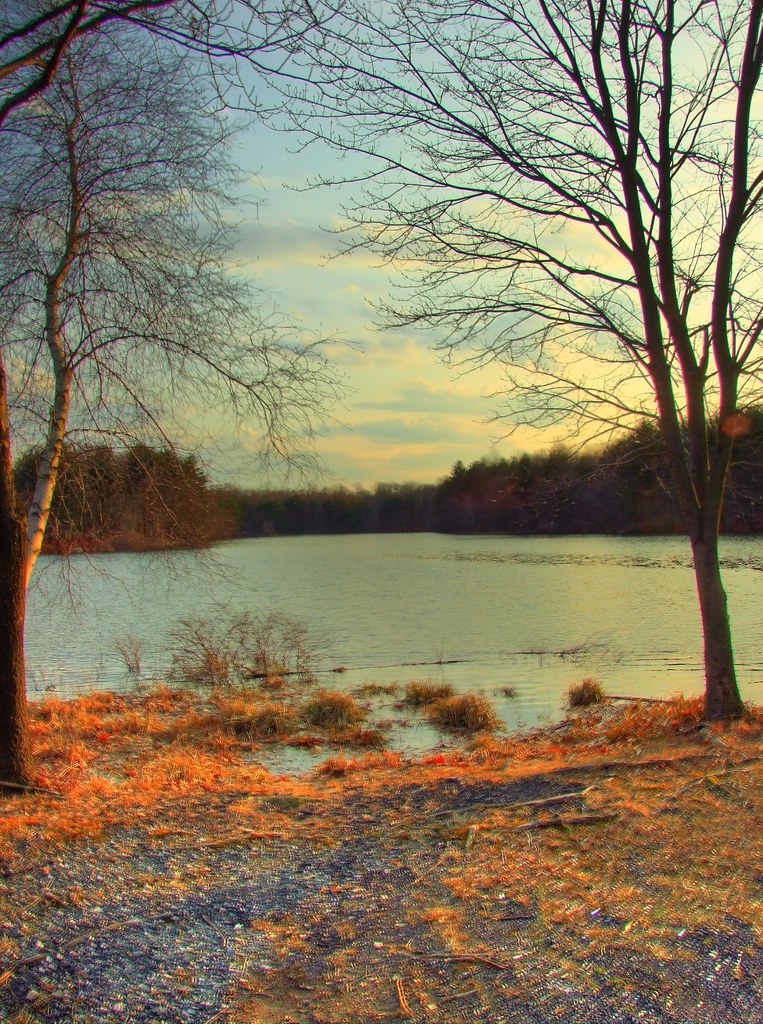 Photo: razed_sublime357, CC BY 2.0 (via Flickr)
- 0.4 mi
- one way
- 50 ft
- climb
- 445 ft
- high point
- Point to point
- route
- Apr–Oct
- best months
The Blue-Yellow Trail is a short, easy hike in Connecticut, about 0.37 miles long and rising about 50 feet from a low point of 375 feet to a high of 445 feet. The trail is a point-to-point route, and the climb is gentle, with the steepest stretch at about 0.14 miles in, where the grade reaches 5 percent. The nearest town is Riverside, about 1.9 miles away. Late spring and early fall are the most comfortable times to go. Typical averages from a nearby weather station in Ansonia show May highs around 69°F and September highs around 75°F, with July and August peaking near 82°F. That station sits well below the trail, so temperatures on the higher ground run cooler. The hike takes about half an hour. The Green-Yellow Trail starts just 0.1 mile away, and the White Trail and Blue Trail are each about 0.2 mile off. For climbing, Webb Mountain Park is about 1.1 miles away.
 Green-Yellow TrailHikingPhoto: ToolManTimTaylor, CC BY 2.0 (via Flickr)0.1 mi
- White TrailHikingPhoto: razed_sublime357, CC BY 2.0 (via Flickr)0.2 mi
- Blue TrailHikingPhoto: razed_sublime357, CC BY 2.0 (via Flickr)0.2 mi
 White-Yellow TrailHikingPhoto: Csouthard, CC BY-SA 3.0 (via Wikimedia Commons)0.5 mi
- Webb Mountain ParkRock climbing1.1 mi
- Blue Trail SectionRock climbing1.4 mi
 Kettletown State ParkRock climbingPhoto: H. Morrow Long, CC BY-SA 3.0 (via Wikimedia Commons)4.4 mi
- Naugatuck State ForestRock climbing4.5 mi
Source: Roamze catalog (indexable pages within 10 miles, PostGIS distance)
- Green-Yellow TrailHiking · Next doorPhoto: ToolManTimTaylor, CC BY 2.0 (via Flickr)
 Zoar TrailHiking · ~8 min drivePhoto: H. Morrow Long, CC BY-SA 3.0 (via Wikimedia Commons)
- Blue TrailHiking · Next doorPhoto: razed_sublime357, CC BY 2.0 (via Flickr)
- Paugussett TrailHiking · ~3 min drive
- White TrailHiking · Next doorPhoto: razed_sublime357, CC BY 2.0 (via Flickr)
- White TrailHiking · Next doorPhoto: ToolManTimTaylor, CC BY 2.0 (via Flickr)
- White-Yellow TrailHiking · Next doorPhoto: Csouthard, CC BY-SA 3.0 (via Wikimedia Commons)
 Birchbank TrailHiking · ~2 min drivePhoto: Csouthard, CC BY-SA 3.0 (via Wikimedia Commons)
- North LoopHiking · ~4 min drivePhoto: Csouthard, CC BY-SA 3.0 (via Wikimedia Commons)
 Zoar TrailHiking · ~6 min drivePhoto: Csouthard, CC BY-SA 3.0 (via Wikimedia Commons)
Best time to visit Blue-Yellow Trail
Best months: April–October. Best months have typical highs of 55–85 °F, lows of 30 °F or warmer (32 °F where the station doesn't record snow), at most one snowy day and no more than 12 wet days.
Jan
36° / 18°
9 wet
Feb
38° / 19°
8 wet
Mar
47° / 27°
9 wet
Apr
58° / 37°
10 wet
May
69° / 47°
11 wet
Jun
77° / 58°
10 wet
Jul
82° / 63°
9 wet
Aug
82° / 62°
8 wet
Sep
75° / 54°
8 wet
Oct
63° / 41°
8 wet
Nov
52° / 32°
9 wet
Dec
41° / 23°
9 wet
Typical high / low (°F) and days with rain or snow, 1991–2020. Measured at Ansonia 1 Ne, CT, 3.1 mi away at 136 ft. This station doesn't record snowfall. Source: NOAA NCEI U.S. Climate Normals 1991–2020.
Map and trail data © OpenStreetMap contributors
